Back to the librarykm 5 · Jan 2024 · © SuedOstLink / Mapillary, CC BY-SA km 25 · Jun 2024 · © rnissl / Mapillary, CC BY-SA km 42 · May 2024 · © wegavision / Mapillary, CC BY-SA km 68 · Mar 2025 · © SuedOstLink / Mapillary, CC BY-SA km 0–6km 16–17km 32–34km 68–69
Road bikeMade by RouteCasterRound trip
Hills between Roßbach and Teublitz
Distance
79 km
Ascent
915 m
Highest point
564 m
98% paved
Start from your location
Ride there from home: we find the shortest way to the loop and start the loop from there.
The ride
Roll out of Reichenbach and the route soon slips into the Naturpark Oberer Bayerischer Wald, where the riding stays almost entirely on paved surface. Past the castle Schloß Pirkensee you follow the Regen river, with 915 m of climbing spread across the day. Then it's back to Reichenbach to close the loop.
Along the way
Climbs
Climb 1Cat. 3
5.7 km at 3.6% · max 15.4%
Climb 2Hill
0.6 km at 5.4% · max 12.9%
Climb 3Cat. 4
2.1 km at 5.1% · max 11.1%
Climb 4Hill
1.4 km at 3.2% · max 5.9%
Routes nearby
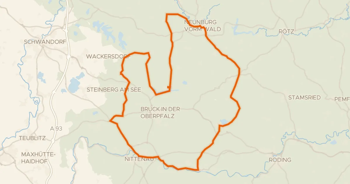
Road bike100% paved
Hilly ride via Bodenwöhr to Neunburg vorm Wald
78 km↑ 795 m10 km away
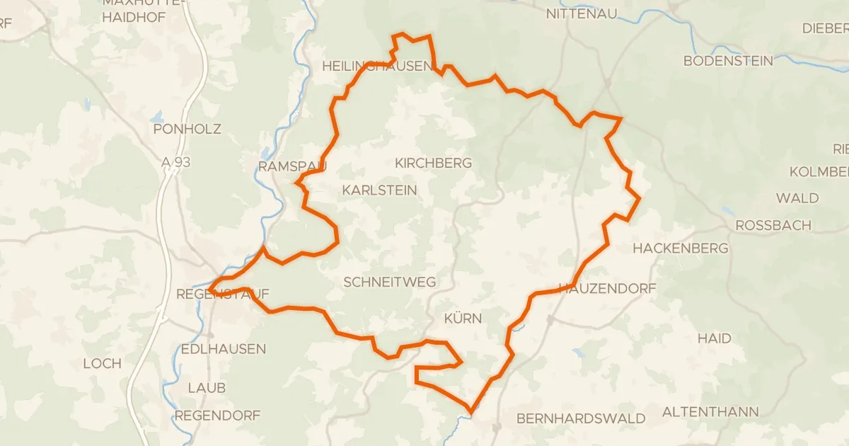
Gravel19% paved
Climbs along the Regen to Lambertsneukirchen
54 km↑ 1,280 m11 km away
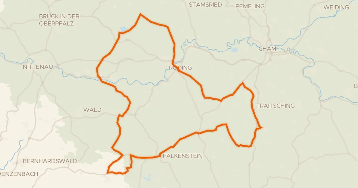
Road bike98% paved
Castles between Strahlfeld and Falkenstein
87 km↑ 1,438 m13 km away
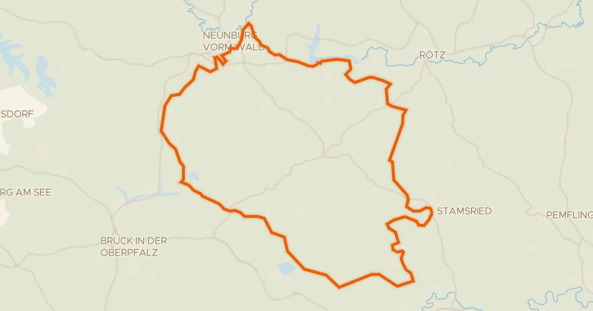
Gravel17% paved
Gravel between Stamsried and Erzhäuser
63 km↑ 1,034 m14 km away
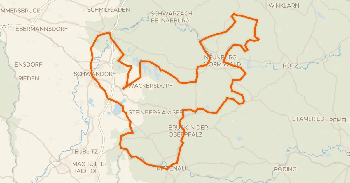
Touring72% paved
Radroute Oberpfälzer Seenland Rundweg
147 km↑ 1,670 m14 km away
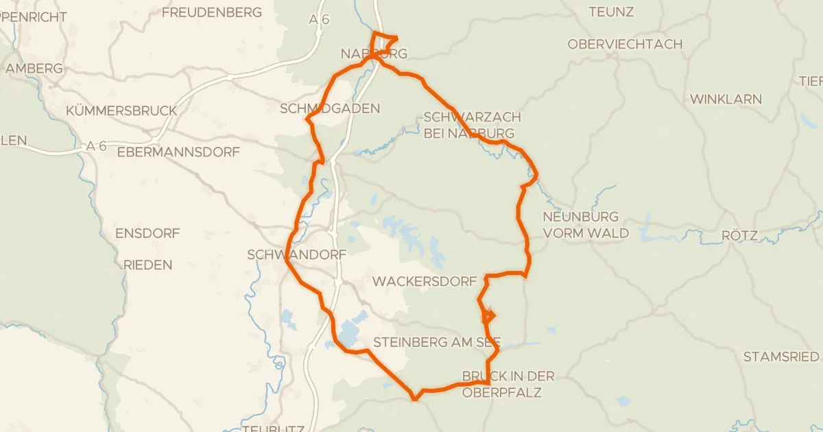
Road bike97% paved
Hills between Schwarzenfeld and Schwandorf
82 km↑ 763 m21 km away