Back to the librarykm 8 · Jun 2024 · © Olivy / Mapillary, CC BY-SA km 22 · Sep 2019 · © highwayphotograph / Mapillary, CC BY-SA km 59 · Oct 2025 · © soulcover / Mapillary, CC BY-SA km 62 · Jan 2022 · © Jubisser / Mapillary, CC BY-SA km 3–4km 8–12km 19–20km 20–26km 27–31km 32–34km 47–49
Road bikeMade by RouteCasterRound trip
Hills between Miltach and Viechtach
Distance
81 km
Ascent
1,440 m
Highest point
850 m
100% paved
Start from your location
Ride there from home: we find the shortest way to the loop and start the loop from there.
The ride
Roll out of Miltach and the castle is barely behind you before the Bayerischer Wald nature reserve takes over. The route climbs to the Großer Pfahl, swings past the castle at Kollnburg, then threads the Schloßberg von Sattelpeilnstein and the Regentalaue floodplain. It's 100% paved across 80.6 km, with 1440 m of climbing to keep the legs honest. Back to Miltach, where you started.
Along the way
Climbs
Climb 1Hill
1.4 km at 3.6% · max 11.4%
Climb 2Cat. 3
4.8 km at 3.8% · max 14%
Climb 3Hill
0.8 km at 5.3% · max 13.2%
Climb 4Cat. 3
5.7 km at 4% · max 14.6%
Climb 5Cat. 3
3.8 km at 6.5% · max 15%
Climb 6Cat. 4
2.1 km at 5.3% · max 13.3%
Climb 7Cat. 4
2.2 km at 5.6% · max 12.9%
Routes nearby
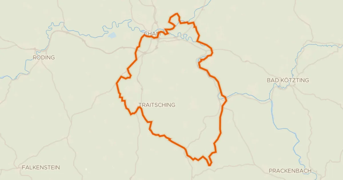
Gravel48% paved
Hills around Sattelpeilnstein
56 km↑ 791 m5 km away
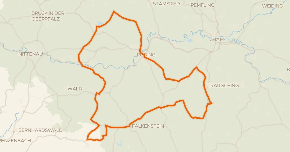
Road bike98% paved
Castles between Strahlfeld and Falkenstein
87 km↑ 1,438 m18 km away
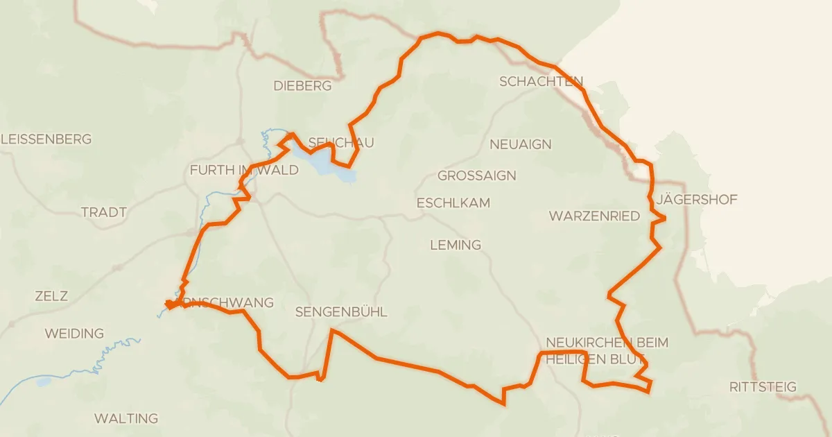
Gravel28% paved
Climbs along the Chamb
59 km↑ 1,111 m19 km away
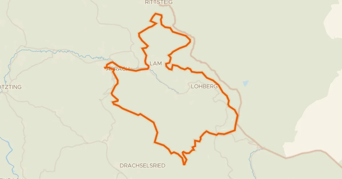
Gravel13% paved
Climb along the Weißer Regen
63 km↑ 1,980 m23 km away
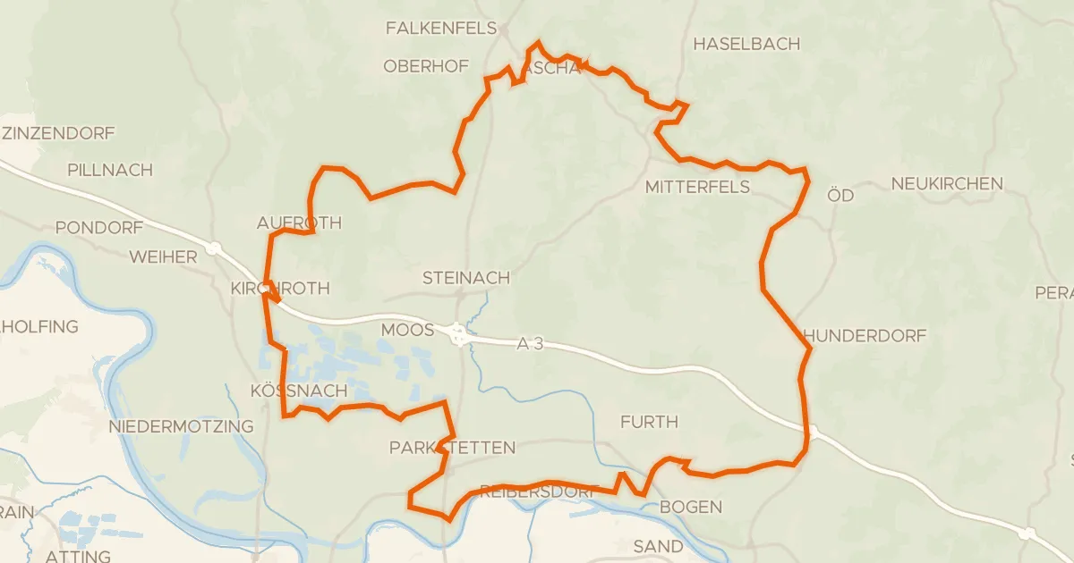
Gravel29% paved
Gravel along the Kinsach to the Donau
60 km↑ 485 m25 km away
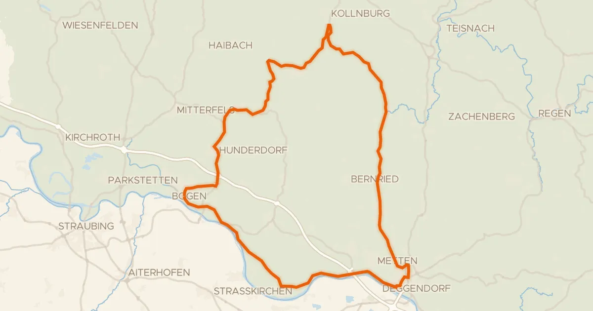
Road bike98% paved
Castle loop past Bogenberg
82 km↑ 1,171 m25 km away