Back to the librarykm 2 · Aug 2022 · © rb61 / Mapillary, CC BY-SA km 36 · Aug 2026 · © mprins / Mapillary, CC BY-SA km 51 · Aug 2026 · © mprins / Mapillary, CC BY-SA km 73 · Oct 2026 · © Lowiekse / Mapillary, CC BY-SA km 11–15km 31–33km 34–35km 37–39km 49–50km 50–51km 54–57km 90–90
Road bikeMade by RouteCasterRound trip
Hills between Meerfelder Maar and Binsfeld
Distance
90 km
Ascent
1,414 m
Highest point
478 m
100% paved
Start from your location
Ride there from home: we find the shortest way to the loop and start the loop from there.
The ride
Roll out from Parkeerplaats Tongruben bei Binsfeld and straight into the Tongruben nature reserve, then on past the Streuobstwiesen und Hecken am Münchensberg. Further along, the Meerfelder Maar nature reserve opens up before you, and near Wittlich the Mesenberg nature reserve rounds off the loop. All 90.1 km is paved, with 1414 m of climbing along the way, and you finish back where you started.
Along the way
Climbs
Climb 1Cat. 4
4 km at 3.6% · max 18%
Climb 2Hill
1.3 km at 3.6% · max 9.6%
Climb 3Cat. 4
1.8 km at 4.5% · max 9.1%
Climb 4Cat. 4
2.2 km at 6.9% · max 16.8%
Climb 5Hill
0.4 km at 8% · max 12.5%
Climb 6Hill
0.9 km at 5.6% · max 9.9%
Climb 7Cat. 4
3.7 km at 3.8% · max 25.9%
Climb 8Hill
0.6 km at 6.8% · max 8.9%
Routes nearby
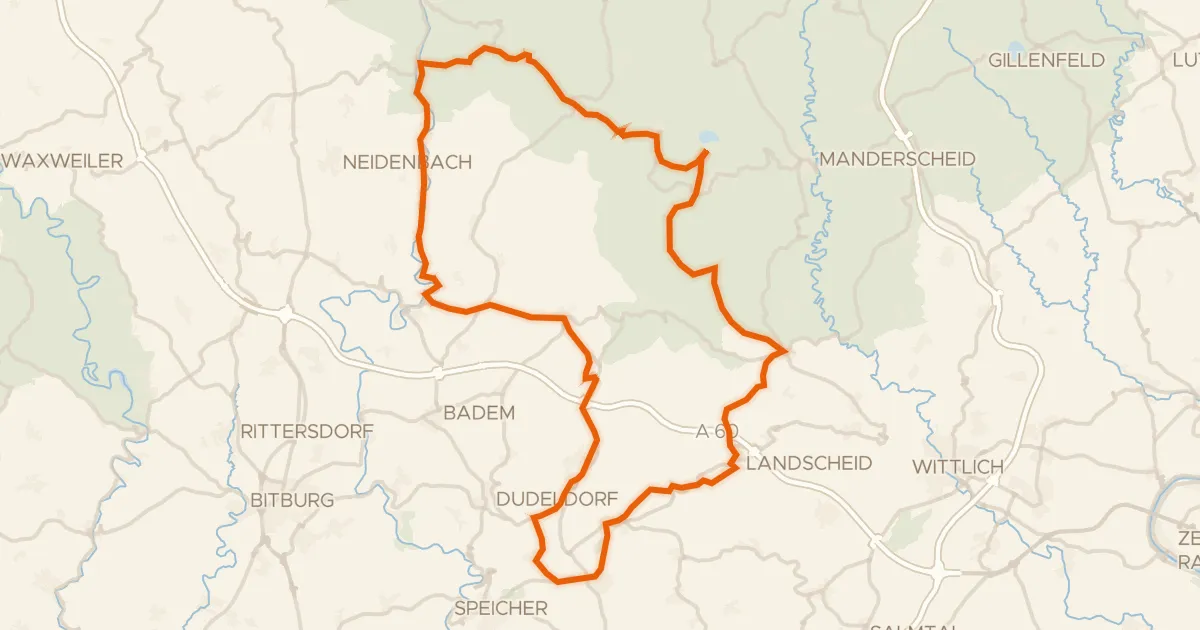
Road bike98% paved
Hills between Meerfeld and Densborn
76 km↑ 1,217 m8 km away
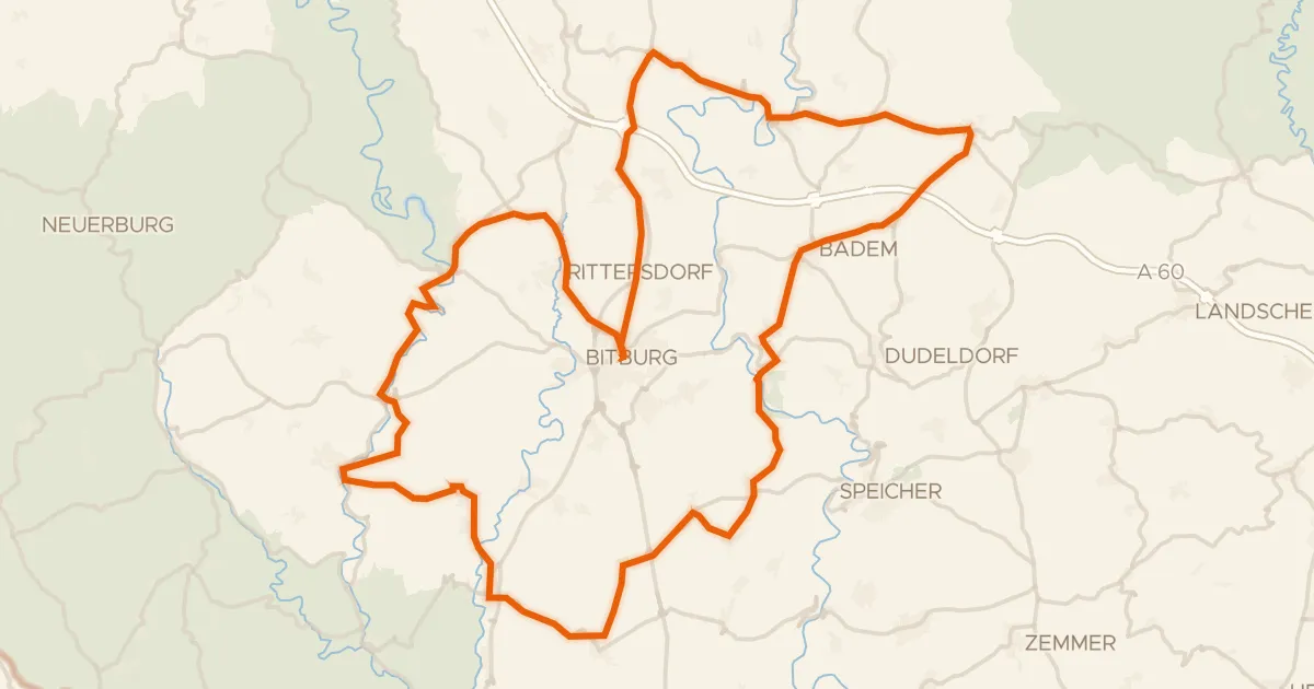
Road bike100% paved
Rolling along the Nims to Kyllburg
83 km↑ 1,186 m12 km away
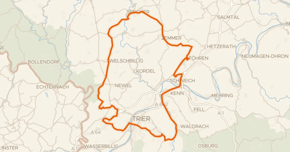
Road bike98% paved
Hills between Föhren and Schweich
93 km↑ 1,507 m16 km away
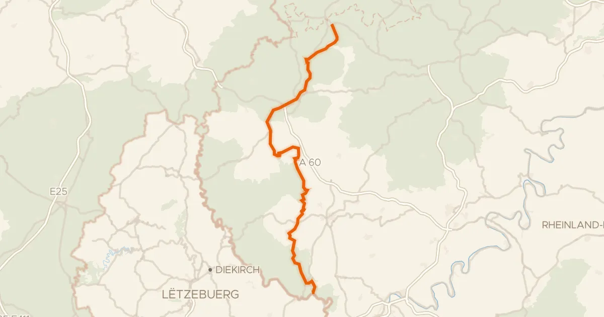
Road bike95% paved
Prümtal-Radweg
97 km↑ 1,176 m24 km away
Road bike99% paved
Castles between Daun and Manderscheid
84 km↑ 1,599 m24 km away
Gravel51% paved
Castles along the Prüm
61 km↑ 1,288 m26 km away