Back to the librarykm 3–4km 31–32km 44–45km 65–65
Road bikeMade by RouteCasterRound trip
Hills between La Moselle and La Vologne
Distance
90 km
Ascent
803 m
Highest point
450 m
98% paved
Start from your location
Ride there from home: we find the shortest way to the loop and start the loop from there.
The ride
Roll out of Épinal and follow the route past the river L'Avière and the fort at Girancourt. The castle at Châtel-sur-Moselle comes next, then the Durbion river leads you to the castle of Girecourt-sur-Durbion. After the Vologne and Moselle rivers, the castle of Épinal marks the return to where you began. With 90.1 km ahead, the ride is 98% paved and 2% unpaved.
Climbs
Climb 1Hill
1.1 km at 4.8% · max 10.6%
Climb 2Hill
1.2 km at 4.1% · max 7.8%
Climb 3Hill
0.8 km at 4.6% · max 9%
Climb 4Hill
0.7 km at 5.2% · max 8.6%
Routes nearby

Gravel25% paved
Rondje La Moselle en La Moselotte
64 km↑ 1,624 m18 km away

Road bike99% paved
Rondje Château des Bouly en L'Augronne
87 km↑ 942 m24 km away
Road bike100% paved
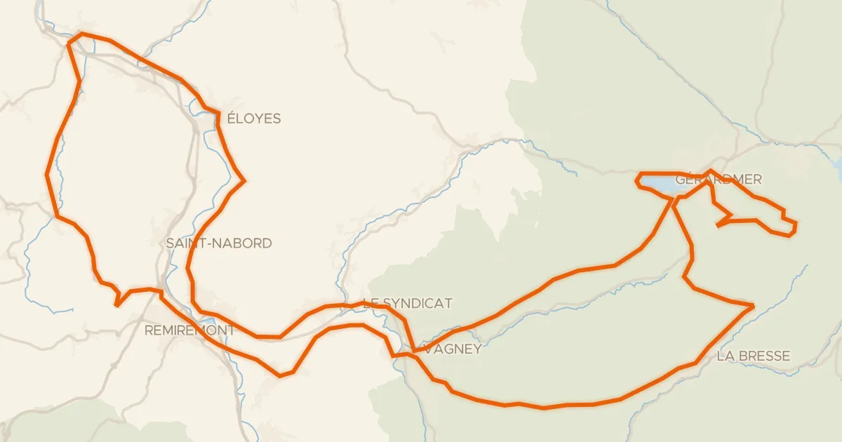
La route des 4 cols
117 km↑ 2,059 m24 km away
Col de la Croix des Moinats · Col de Sapois

Road bike96% paved
Langs La Vologne en La Cleurie
75 km↑ 1,129 m25 km away
Road bike100% paved
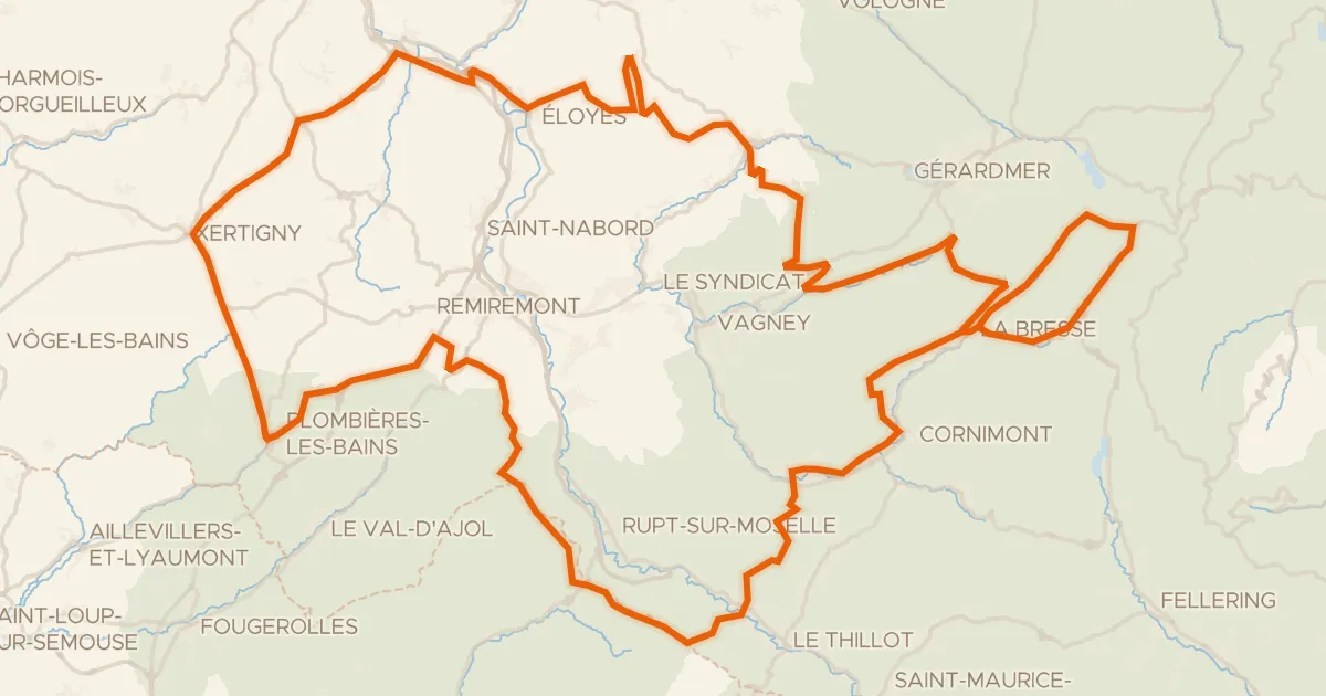
Granfondo Vosges
181 km↑ 3,780 m27 km away
Col des Feignes sous Vologne · Col de Bonnefontaine

Road bike99% paved
Rondje Le Madon en La Gitte
71 km↑ 591 m29 km away