Back to the librarykm 26–32km 50–52
Road bikeMade by RouteCasterRound trip
Hills between La Drôme and Le Roubion
Distance
74 km
Ascent
847 m
Highest point
415 m
100% paved
Start from your location
Ride there from home: we find the shortest way to the loop and start the loop from there.
The ride
Roll out of Saou for a 73.7 km loop that stays paved the whole way. First up is the bat cave nature reserve, then you follow the Roubion river onward. Past the castle at Soyans you ride on to the Ramières nature reserve and the Drôme river, climbing 847 m along the way. Then it's back to Saou to close the loop.
Climbs
Col de TartaiguilleCat. 3
5.6 km at 3% · max 8.7%
Col des Deux SerresHill
1.4 km at 3.4% · max 9%
Routes nearby

Gravel22% paved
Rondje Château du Poët-Célard en Le Roubion
59 km↑ 2,548 m9 km away

Road bike100% paved
Rondje Château d'Autichamp en La Drôme
74 km↑ 1,139 m15 km away

Gravel29% paved
Rondje Le Rhône en La Drôme
56 km↑ 1,619 m21 km away
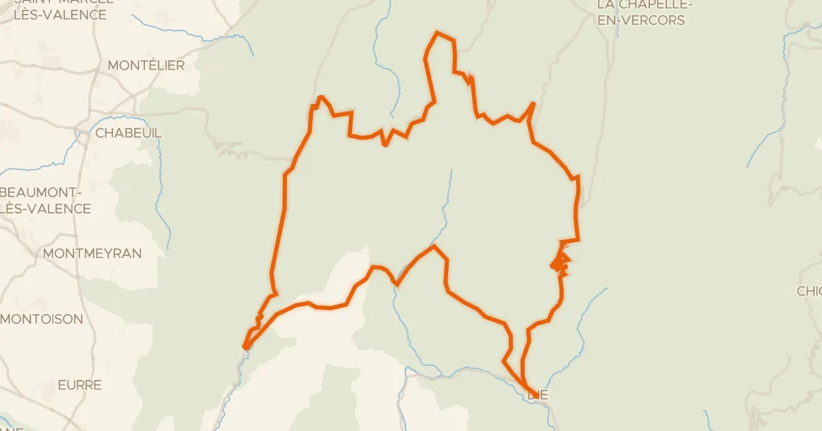
Road bike99% paved
Le Tour d'Ambel
126 km↑ 3,089 m29 km away
Col de la Chau · Col de la Portette
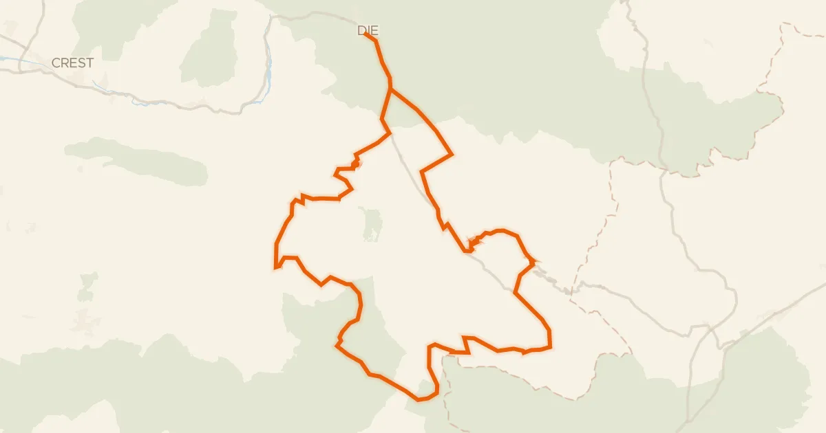
Road bike100% paved
La Drômoise
143 km↑ 3,170 m29 km away
Col de Tavard · Col de Pennes

Gravel24% paved
Rondje Château de Grignan en La Berre
61 km↑ 1,249 m31 km away