Back to the librarykm 22–24
Road bikeMade by RouteCasterRound trip
Hills between Gonfaron and Le Thoronet
Distance
72 km
Ascent
813 m
Highest point
288 m
97% paved
Start from your location
Ride there from home: we find the shortest way to the loop and start the loop from there.
The ride
Roll out of Cabasse and let the route carry you along the L'Argens river before the landscape opens into the Plaine des Maures nature reserve. Onward past the Aille and the Issole rivers, the road keeps unfolding across 71.7 km with 813 m of climbing along the way. It's mostly paved riding, with a short unpaved stretch to keep you honest, and the loop brings you back to Cabasse where you started.
Climbs
Climb 1Cat. 3
2.4 km at 7.6% · max 20.4%
Routes nearby

Road bike95% paved
Rondje Château d'Astros en Château d'Entrecasteaux
79 km↑ 952 m11 km away

Gravel35% paved
Rondje Château d'Astros en L'Argens
66 km↑ 1,261 m13 km away
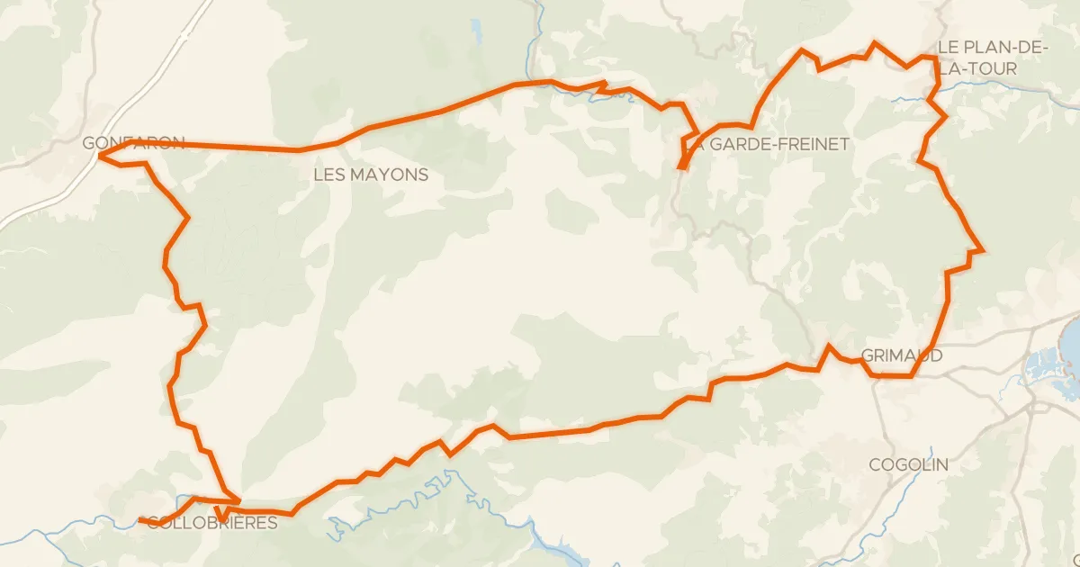
Road bike100% paved
Les Maures Sauvages
87 km↑ 2,073 m23 km away
Col de Fourche · Col de Boulin

Gravel11% paved
Langs L'Argens en L’Eau Salée
62 km↑ 1,302 m24 km away
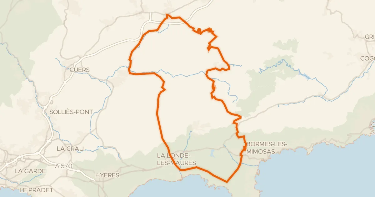
Road bike100% paved
Les chataîgneraies des Maures
90 km↑ 1,722 m25 km away
Col du Gratteloup · Col de Babaou

Gravel11% paved
Rondje Château du Reclos en L'Endre
65 km↑ 1,955 m31 km away