Back to the librarykm 8–9km 14–15km 28–28km 36–38km 49–50km 61–62
GravelMade by RouteCasterRound trip
Hills between Friedersdorf and Schlegel
Distance
62 km
Ascent
752 m
Highest point
414 m
34% paved
Start from your location
Ride there from home: we find the shortest way to the loop and start the loop from there.
The ride
Roll out from Parkeerplaats Schönbrunner Berg and the route unfolds through the Schönbrunner Berg nature reserve before diving into the Königsholz forest. Onward past the Hengstberg nature reserve and through the Großer Nonnenwald forest, 62.4 km of riding with 752 m of climbing. Two thirds of it runs unpaved, so expect a mixed day under your wheels before you roll back to where you started.
Climbs
Climb 1Hill
1.9 km at 4% · max 13.2%
Climb 2Hill
1.9 km at 4.2% · max 11.2%
Climb 3Hill
0.4 km at 6.3% · max 12.7%
Climb 4Hill
1.4 km at 4% · max 8.6%
Climb 5Hill
1.8 km at 3.2% · max 6.7%
Climb 6Hill
1.2 km at 5.8% · max 12.1%
Routes nearby
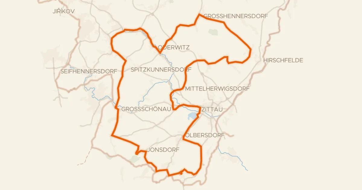
Road bike100% paved
Woods between Jonsdorf and Oberwald
82 km↑ 1,022 m8 km away
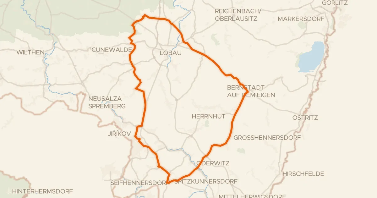
Road bike100% paved
Hills between Kittlitz and the Landwasser
71 km↑ 716 m10 km away
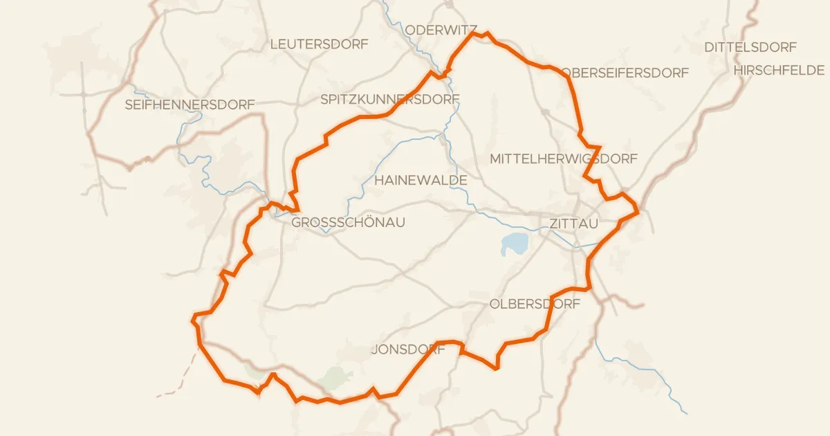
Gravel30% paved
Climbs between Oberseifersdorf and Eichgraben
61 km↑ 1,160 m10 km away
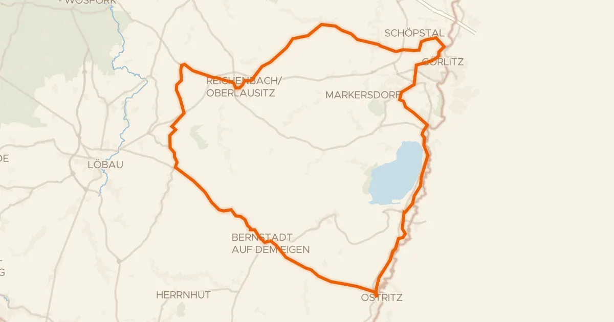
Road bike99% paved
Lakes between Ostritz and Görlitz
72 km↑ 590 m14 km away
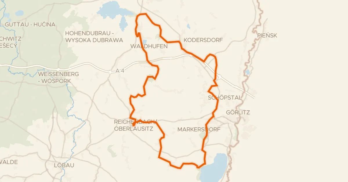
Gravel46% paved
Castles along the Talsperre Quitzdorf
75 km↑ 730 m24 km away
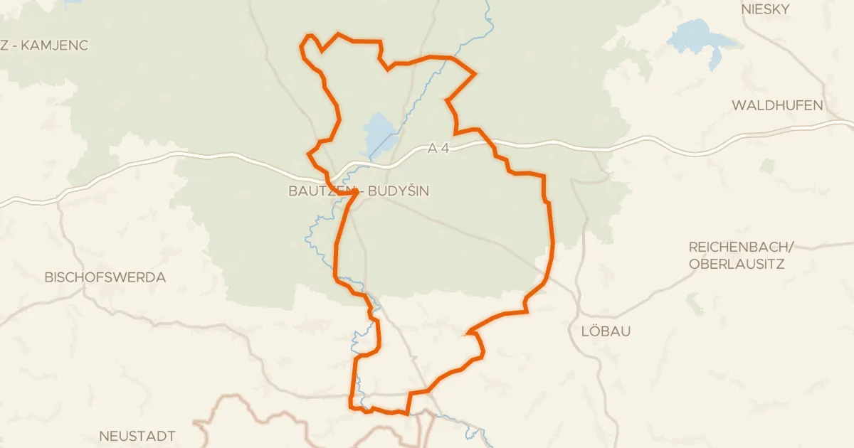
Road bike95% paved
Castle loop along the Litzenteich
98 km↑ 834 m30 km away