Back to the librarykm 1–2km 4–5km 6–8km 20–21km 23–27km 39–42km 43–43km 43–45km 49–49
GravelMade by RouteCasterRound trip
Hills between Bleikuhlen and Goldberg
Distance
57 km
Ascent
946 m
Highest point
433 m
38% paved
Start from your location
Ride there from home: we find the shortest way to the loop and start the loop from there.
The ride
Roll out from Parkeerplaats Hammerbachtal and let the ride unfold: through Hammerbachtal nature reserve, on past Goldberg nature reserve, then Wäschebach / Tieberg nature reserve, and Bleikuhlen nature reserve too. The Wisent Turm viewpoint waits along the way before the route loops back to where it began. Of the 57.0 km, most runs unpaved, with 946 m of climbing spread across the day. Four nature reserves, one viewpoint, and a return to the start.
Climbs
Climb 1Hill
1.2 km at 5.9% · max 13.2%
Climb 2Hill
1.3 km at 3.2% · max 12.3%
Climb 3Hill
1.5 km at 5.2% · max 19.7%
Climb 4Hill
1.5 km at 3.5% · max 11.3%
Climb 5Cat. 3
3.4 km at 5.1% · max 12.9%
Climb 6Cat. 4
2.3 km at 5.2% · max 14%
Climb 7Hill
0.4 km at 6.6% · max 12.7%
Climb 8Hill
1.5 km at 5.1% · max 28.5%
Climb 9Hill
0.7 km at 8% · max 13.4%
Routes nearby
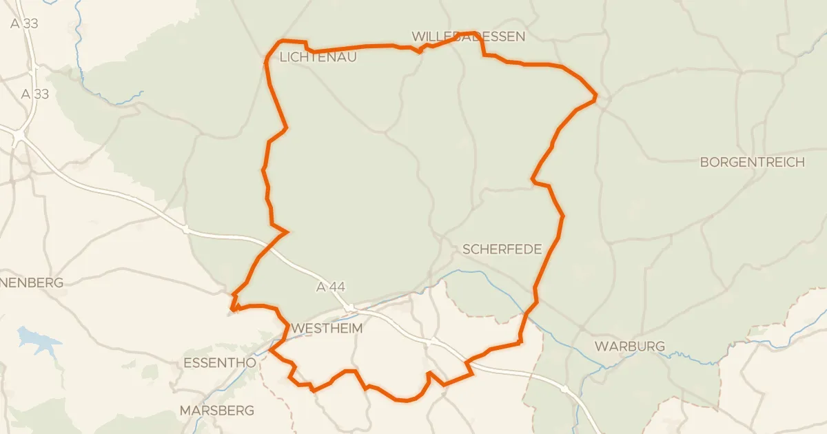
Road bike100% paved
Hills between Lichtenau and Peckelsheim
75 km↑ 1,042 m0 km away
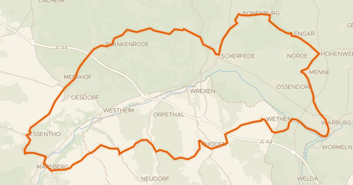
Road bike100% paved
Hills between Wethen and Hardehausen
71 km↑ 884 m4 km away
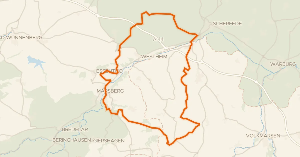
Gravel32% paved
Climbs between Bleikuhlen and Wrexen
64 km↑ 1,300 m10 km away
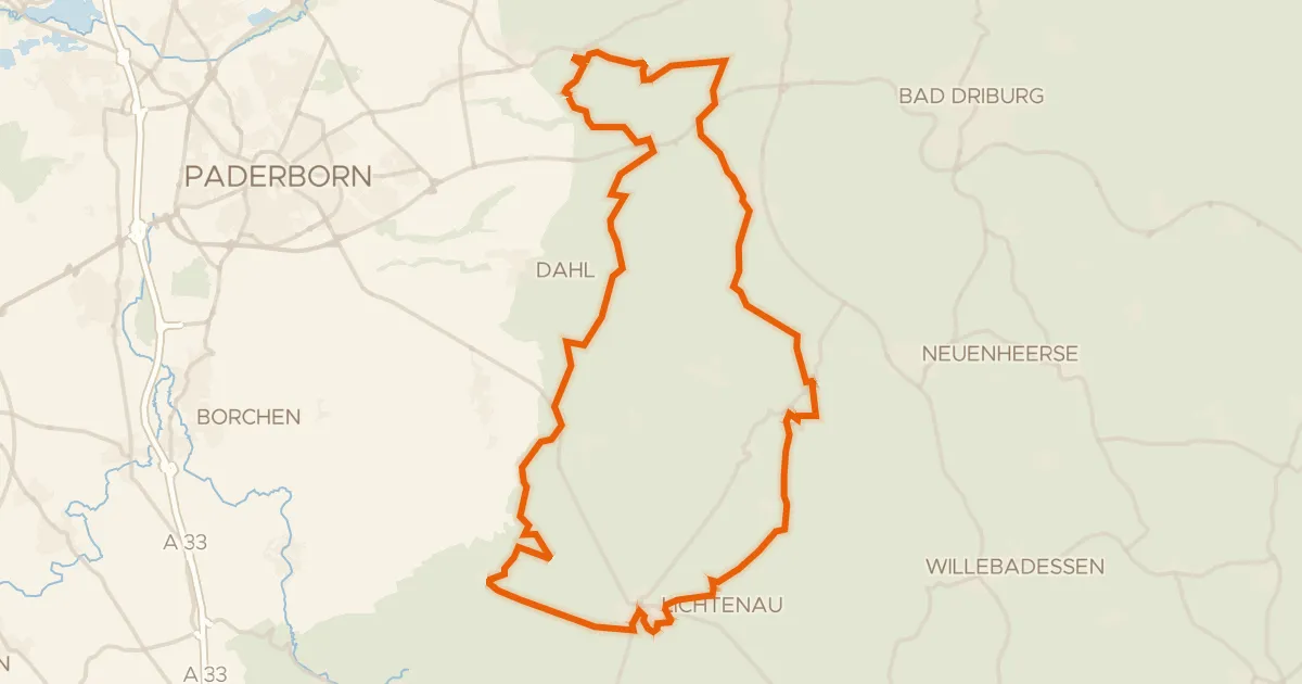
Gravel48% paved
Hills between Schwaney and Ebbinghausen
60 km↑ 911 m16 km away
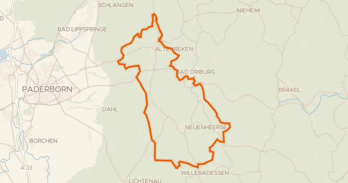
Gravel36% paved
Hills between Schwaney and Altenheerse
75 km↑ 1,334 m19 km away
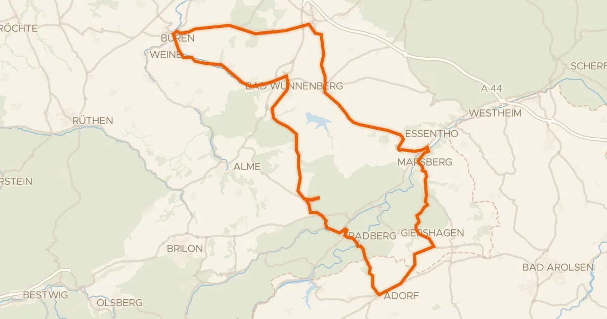
Road bike99% paved
Hills between Marsberg and Büren
89 km↑ 1,040 m22 km away