Back to the librarykm 2 · Aug 2026 · © AlexSpritze / Mapillary, CC BY-SA km 33 · Aug 2025 · © Langfahrer / Mapillary, CC BY-SA km 49 · Sep 2022 · © sunnyteater / Mapillary, CC BY-SA km 91 · Jul 2018 · © fod / Mapillary, CC BY-SA km 0–2km 8–9km 30–35km 35–36km 37–42km 46–48km 51–52km 54–57km 76–78
Road bikeMade by RouteCasterRound trip
Hills along the Staufenberg
Distance
93 km
Ascent
1,444 m
Highest point
673 m
100% paved
Start from your location
Ride there from home: we find the shortest way to the loop and start the loop from there.
The ride
Roll out of Bad Sachsa and straight into Steingrabental - Mackenröder Wald nature reserve, then on past Steinberg bei Scharzfeld. Climb to the Danielstraße and Herrenstraße viewpoints before the Staufenberg nature reserve, and roll by the Kleine Herrenburg castle. The 93,3 km loop stays entirely on paved surface and brings you back to Bad Sachsa.
Along the way
Climbs
Climb 1Hill
1.4 km at 4.4% · max 11.3%
Climb 2Hill
1.4 km at 3.4% · max 9%
Climb 3Cat. 3
4.9 km at 3.5% · max 29.5%
Climb 4Hill
0.6 km at 6.4% · max 14.9%
Climb 5Cat. 3
4.5 km at 5.3% · max 27.9%
Climb 6Cat. 3
2.6 km at 7% · max 17.5%
Climb 7Hill
1.4 km at 3.3% · max 5.7%
Climb 8Hill
2.5 km at 3.1% · max 10.2%
Climb 9Cat. 4
2.7 km at 3.1% · max 8.3%
Routes nearby
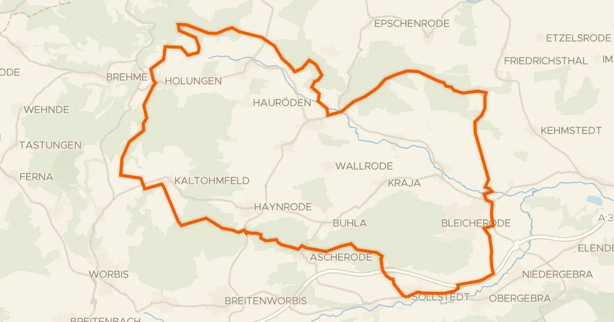
Gravel15% paved
Hills between Wipper and Bode
59 km↑ 1,042 m16 km away
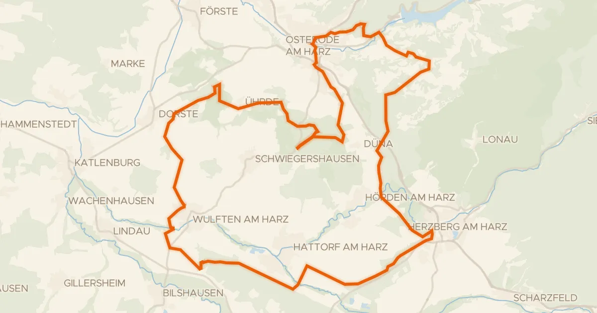
Gravel32% paved
Castles between Ührde and Osterode am Harz
64 km↑ 1,111 m23 km away
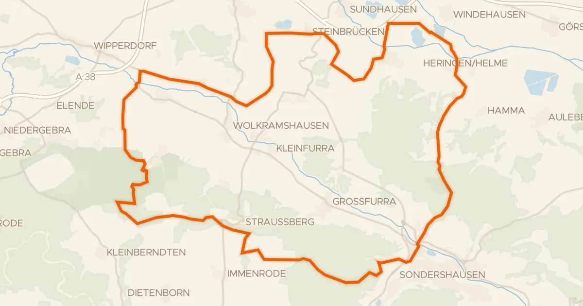
Gravel23% paved
Rondje Schloß Heringen en Wipper
60 km↑ 790 m25 km away
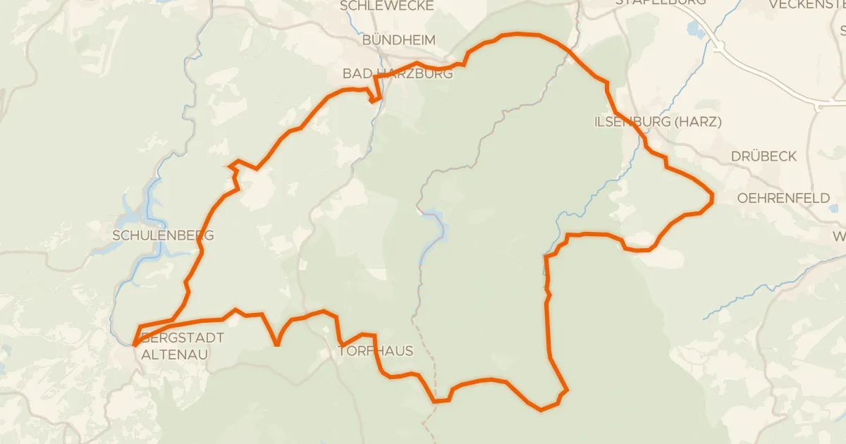
Gravel16% paved
Climb past Schloss Ilsenburg
62 km↑ 1,607 m27 km away
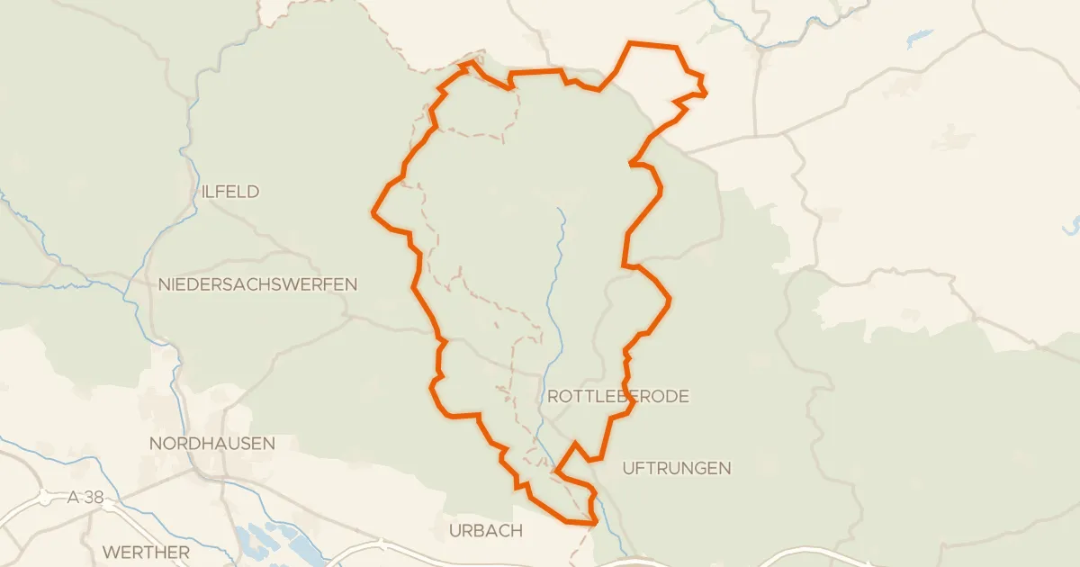
Gravel5% paved
Climb through Naturpark Südharz
61 km↑ 1,107 m28 km away
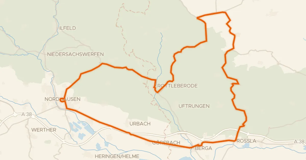
Road bike100% paved
Hills between Rottleberode and Berga
74 km↑ 742 m28 km away