Back to the librarykm 5 · Jul 2022 · © miguel_andrade / Mapillary, CC BY-SA km 21 · Aug 2022 · © mfa / Mapillary, CC BY-SA km 43 · Apr 2025 · © Vosgivince / Mapillary, CC BY-SA km 62 · Dec 2025 · © amtxi / Mapillary, CC BY-SA km 9–11km 44–46km 67–69km 72–75km 76–76
Road bikeMade by RouteCasterRound trip
Hills along the Selz
Distance
76 km
Ascent
840 m
Highest point
286 m
100% paved
Start from your location
Ride there from home: we find the shortest way to the loop and start the loop from there.
The ride
Roll out of Zornheim and the ride unfolds past the Hahnheimer Bruch nature reserve, then on through the Hollerheck and An der Raumühle reserves. After the green comes the Alzeyer Schloss castle, with the Selz river alongside before the road turns for home. It's 76.2 km, all paved, with 840 m of climbing from start to finish.
Along the way
Climbs
Climb 1Hill
1.7 km at 4.2% · max 6.5%
Climb 2Hill
2 km at 3.1% · max 6.3%
Climb 3Hill
1.2 km at 3.8% · max 6.6%
Climb 4Cat. 4
3.1 km at 3.8% · max 8.6%
Climb 5Hill
0.5 km at 5.7% · max 9.4%
Routes nearby
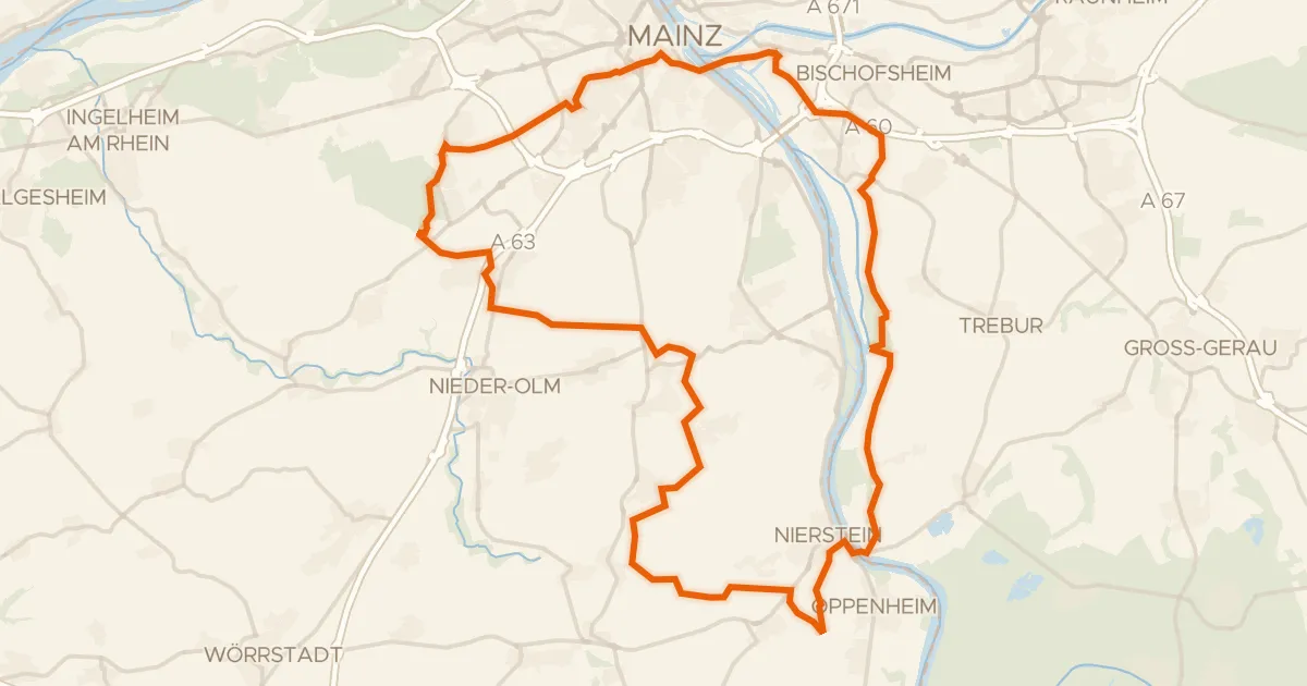
Gravel53% paved
Castle loop through Treburer Unterau
72 km↑ 555 m5 km away
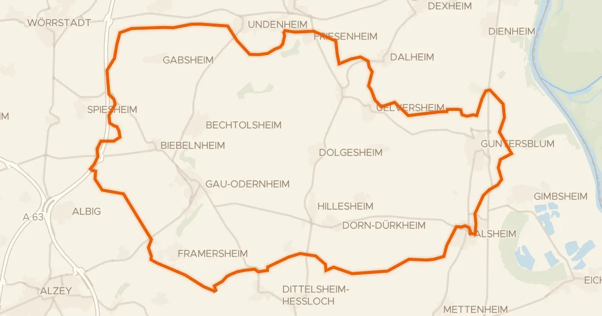
Gravel43% paved
Gravel between Alsheim and Hollerheck
62 km↑ 541 m11 km away
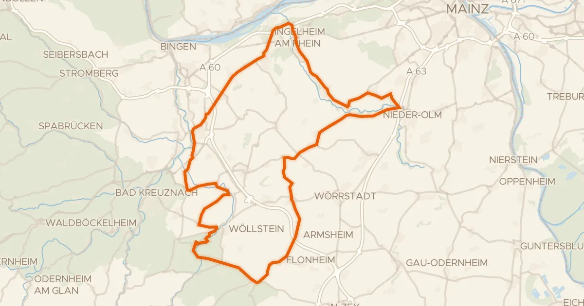
Road bike100% paved
Castles between Wallertheim and Neu-Bamberg
90 km↑ 663 m13 km away
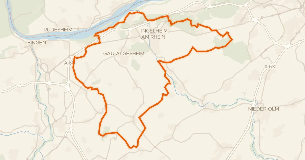
Gravel35% paved
Gravel between Layenhof and Bubenheim
67 km↑ 689 m13 km away
Gravel42% paved
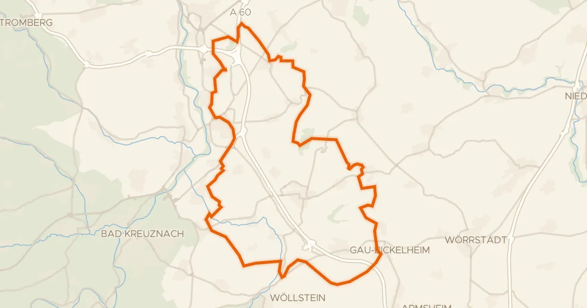
Hills around Gau-Weinheim
59 km↑ 671 m18 km away
Road bike100% paved
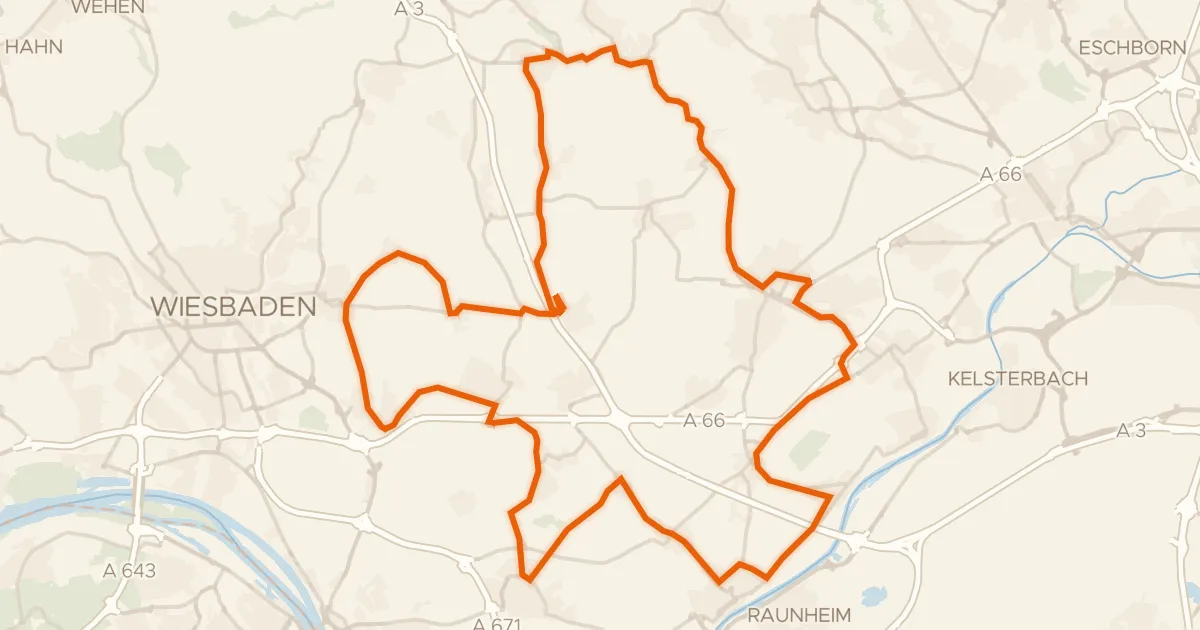
Hills between Massenheim and Eppstein
66 km↑ 557 m24 km away