Back to the librarykm 6 · May 2021 · © maxm64 / Mapillary, CC BY-SA km 45 · Nov 2024 · © floetcheto / Mapillary, CC BY-SA km 35–38km 40–41km 49–52
GravelMade by RouteCasterRound trip
Hills along the Gave de Pau
Distance
55 km
Ascent
711 m
Highest point
381 m
64% paved
Start from your location
Ride there from home: we find the shortest way to the loop and start the loop from there.
The ride
Roll out of Saint-Faust and let the ride unfold: first along the Le Neez river, then the Le Gave de Pau, before a stretch beside the Bras de chasse. Midway you pass the Haras National de Gelos castle, and the Le Néez river returns to see you home. With 55.2 km underfoot and 711 m of climbing, it's a loop that keeps moving.
Along the way
Climbs
Climb 1Cat. 4
2.1 km at 4.4% · max 13.1%
Climb 2Cat. 4
1.4 km at 6.3% · max 15%
Climb 3Cat. 4
3 km at 5.3% · max 18.4%
Routes nearby

Road bike100% paved
Castles between Gan and Bosdarros
76 km↑ 803 m15 km away

Gravel46% paved
Hills between L'Ousse and Le Lagoin
59 km↑ 793 m21 km away
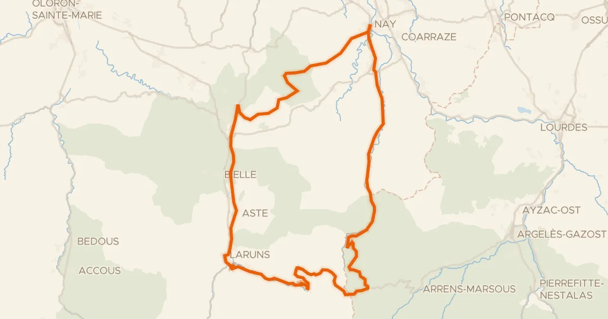
Road bike100% paved
L'Aubisque, la route du Tour
100 km↑ 2,961 m24 km away
Col du Soulor · Col d'Aubisque

Road bike100% paved
Waterside between Lespourcy and Thèze
80 km↑ 798 m25 km away
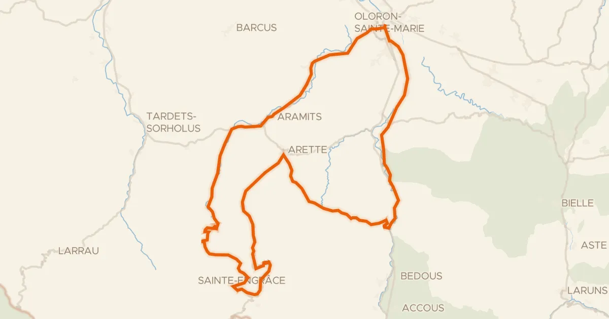
Road bike100% paved
Le Haut Béarn
104 km↑ 2,680 m28 km away
Col du Soudet · Pas de Guillers

Road bike96% paved
Castles between Le Saison and Le Vert
74 km↑ 1,092 m30 km away