Back to the librarykm 8 · Apr 2020 · © manuek / Mapillary, CC BY-SA km 37 · Aug 2018 · © czmrtn / Mapillary, CC BY-SA km 53 · Mar 2019 · © curmet / Mapillary, CC BY-SA km 76 · Jun 2021 · © gzin / Mapillary, CC BY-SA km 21–22km 39–42km 61–63km 64–64km 67–67
Road bikeMade by RouteCasterRound trip
Hills along the Dürre Ager
Distance
78 km
Ascent
1,021 m
Highest point
717 m
99% paved
Start from your location
Ride there from home: we find the shortest way to the loop and start the loop from there.
The ride
From Lenzing an der Ager you roll out and follow the Dürre Ager river, then climb past Schloss Kogl castle and into the Kobernaußerwald forest. The loop runs 77.6 km with 1021 m of climbing, almost all of it on paved surface. After the forest you drop to the Vöckla river and spin back to where you started.
Along the way
Climbs
Climb 1Hill
1.5 km at 3.1% · max 10.8%
FluchtCat. 4
3.5 km at 3.6% · max 9.5%
Climb 3Hill
1.3 km at 3.8% · max 16.6%
Climb 4Hill
0.4 km at 6.5% · max 13.4%
Climb 5Hill
0.6 km at 6% · max 9.2%
Routes nearby

Gravel32% paved
Climb along the Attersee
61 km↑ 2,257 m10 km away

Road bike100% paved
Rondje langs de Traun en de Ager
96 km↑ 1,054 m19 km away
Gravel40% paved
Weißenbachtalweg
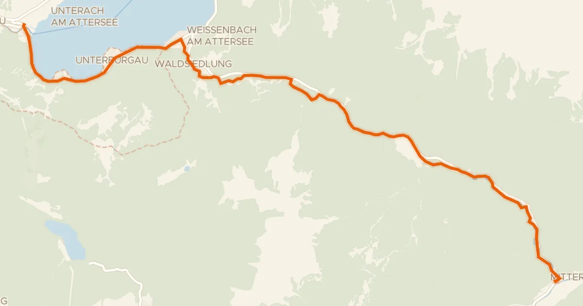
20 km↑ 343 m22 km away
Weißenbacher Sattel

Gravel43% paved
Gravel between Mondsee and Oberhofen am Irrsee
61 km↑ 1,670 m24 km away

Road bike99% paved
Hills along the Fischach
74 km↑ 1,044 m28 km away

Road bike99% paved
Castles along the Antiesen
86 km↑ 1,220 m30 km away