Back to the library
Road bike
Gudenåruten
Distance
98 km
Ascent
760 m
Highest point
110 m
99% paved
The ride
Roll out on 98.2 km with 760 m of climbing, and you'll spend most of it on tertiary roads (80%), with country roads at 10% and cycle paths at 4%. The surface is 99% paved and 2% unpaved, so bring a bike that shrugs off that small rough patch. Traffic exposure stays low: 7% runs on protected cycleways or bike-network roads, and 0% sits on busy roads above 50 km/h without a cycle path. It's a straightforward day out with a bit of everything mixed in.
Routes nearby
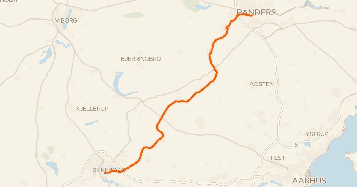
Touring85% paved
Gudenåstien
57 km↑ 183 m22 km away
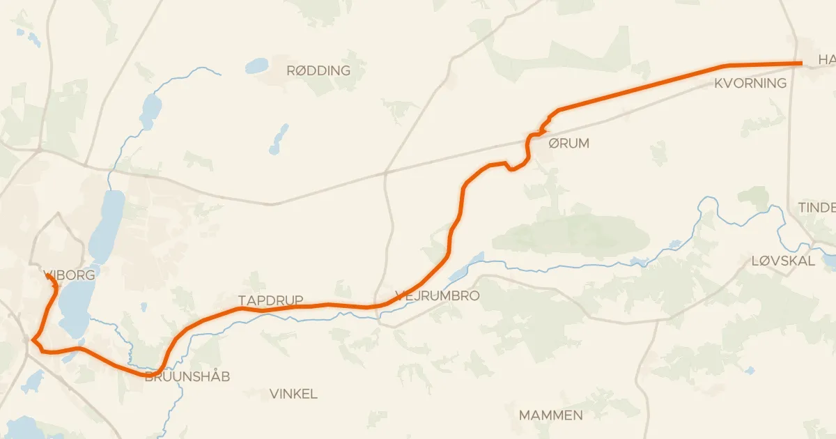
Road bike100% paved
Nørreåruten
29 km↑ 119 m29 km away
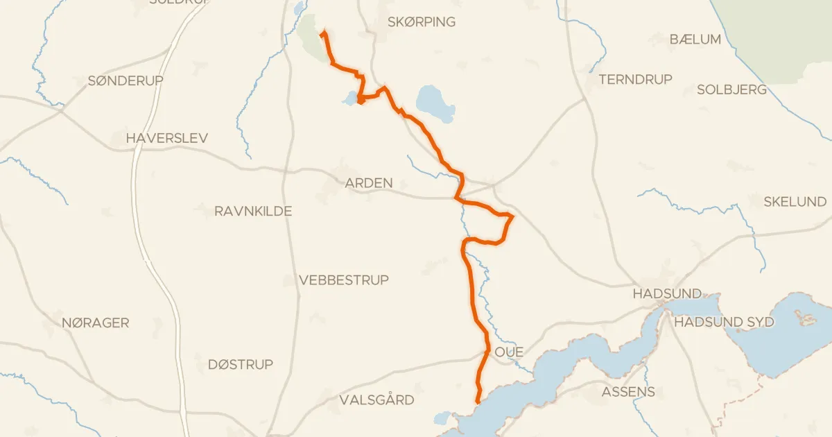
Gravel69% paved
Villestrup Å Ruten
30 km↑ 258 m34 km away
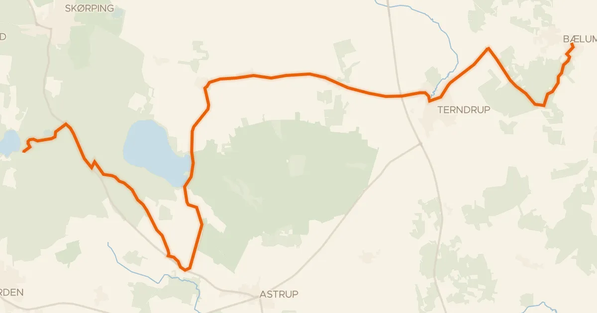
Touring81% paved
Bælumruten
27 km↑ 237 m38 km away
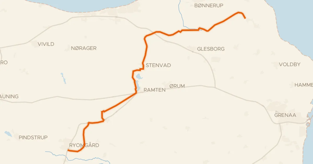
Gravel22% paved
Gjerrildbanestien
32 km↑ 142 m38 km away
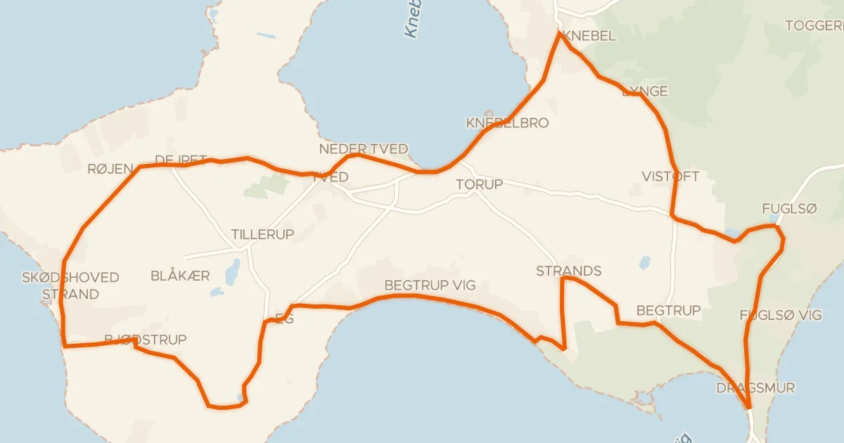
Touring84% paved
Mols Hoved-ruten
31 km↑ 259 m39 km away