Back to the librarykm 25–31km 36–37km 41–43
GravelMade by RouteCasterRound trip
Gravel through the Steigerwald
Distance
60 km
Ascent
743 m
Highest point
484 m
25% paved
Start from your location
Ride there from home: we find the shortest way to the loop and start the loop from there.
The ride
Roll out of Haßfurt and let the ride unfold: first past Schloss Ditfurth, then into Naturpark Steigerwald. Onward through the LSG within the nature park, then Weilersbachtal, and finally Mainaue bei Augsfeld. With 60.3 km and 743 m of climbing, most of it runs unpaved, and the road brings you back to Haßfurt.
Climbs
Climb 1Cat. 3
5.9 km at 3.8% · max 13.3%
Climb 2Hill
0.9 km at 5.5% · max 13.4%
Climb 3Cat. 4
2.4 km at 4% · max 12.2%
Routes nearby
Road bike94% paved
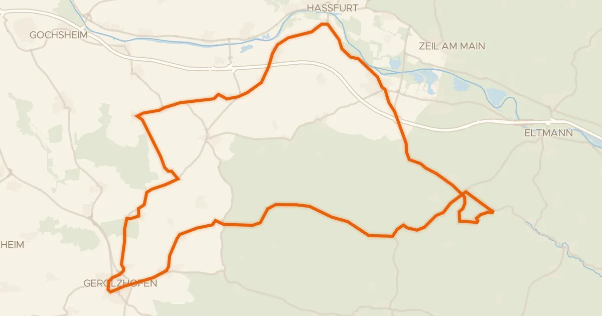
Hills between Wonfurt and Zell am Ebersberg
69 km↑ 798 m8 km away
Road bike94% paved
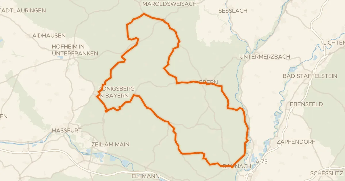
Castles between Burgpreppach and Kirchlauter
94 km↑ 1,191 m17 km away
Gravel9% paved
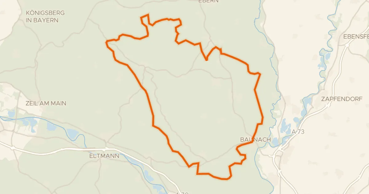
Gravel loop between Baunach and Köslau
61 km↑ 890 m19 km away
Gravel18% paved
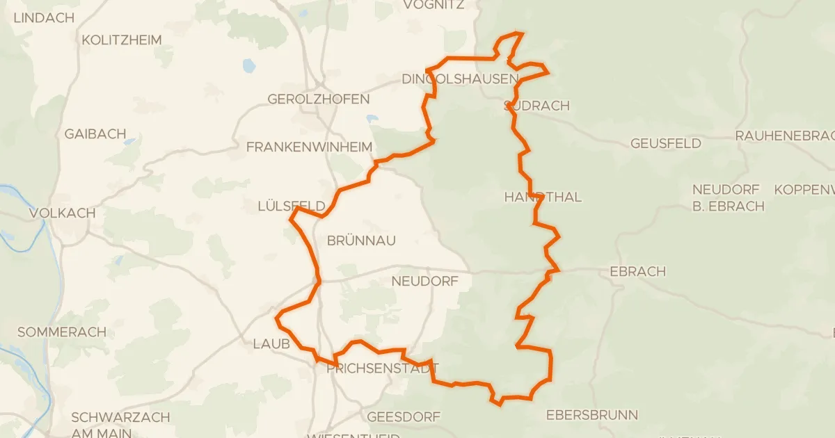
Hills between Neuses am Sand and Prüßberg
56 km↑ 826 m20 km away
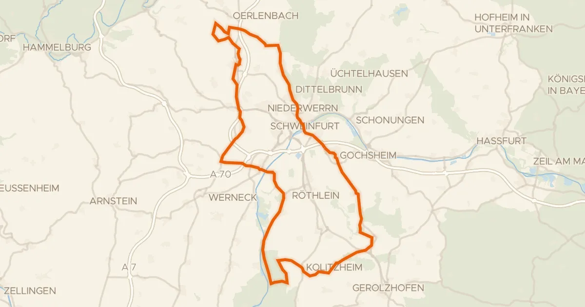
Road bike96% paved
Castle loop between Sulzheim and Ebenhausen
86 km↑ 498 m20 km away
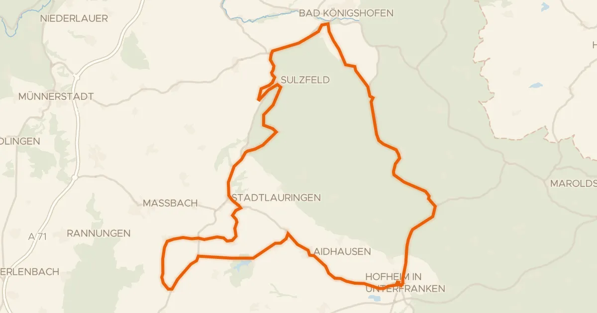
Road bike99% paved
Rolling along the Fränkische Saale
77 km↑ 730 m21 km away