Back to the librarykm 42 · Aug 2020 · © trac71 / Mapillary, CC BY-SA km 0–2km 3–9km 10–13km 14–16km 20–24km 26–29km 30–30km 31–33km 33–34km 37–39km 40–41km 44–46km 47–50
GravelMade by RouteCasterRound trip
Gravel between Worb and Signau
Distance
58 km
Ascent
2,219 m
Highest point
1,146 m
30% paved
Start from your location
Ride there from home: we find the shortest way to the loop and start the loop from there.
The ride
This 57.5 km loop sets off from Worb and heads out past Schloss Worb, then Neues Schloss Worb, two castles in quick succession before the road opens up. The Emme river runs alongside part of the way, with 71% of the route unpaved under your wheels. The Aussichtsturm Chuderhüsi viewpoint breaks up the climbing, and with 2219 m of elevation gain there's plenty of it. Then it's back to Worb to close the loop.
Along the way
Climbs
Climb 1Cat. 3
1.7 km at 11.1% · max 26.3%
Climb 2Cat. 3
5.7 km at 5.1% · max 28.9%
Climb 3Cat. 4
2.3 km at 6.8% · max 23.7%
Climb 4Cat. 4
1.6 km at 7.3% · max 17.4%
Climb 5Cat. 3
3.6 km at 5.6% · max 28.7%
Climb 6Cat. 3
3 km at 6.2% · max 17%
Climb 7Hill
0.4 km at 7% · max 24%
Climb 8Cat. 3
2.1 km at 10.6% · max 26.8%
Climb 9Hill
0.8 km at 7.5% · max 17.8%
Climb 10Cat. 3
1.9 km at 9.4% · max 19.6%
Climb 11Hill
0.6 km at 8.7% · max 15%
Climb 12Cat. 4
2.1 km at 5.9% · max 21.4%
Climb 13Cat. 3
3.5 km at 6.8% · max 19.1%
Routes nearby
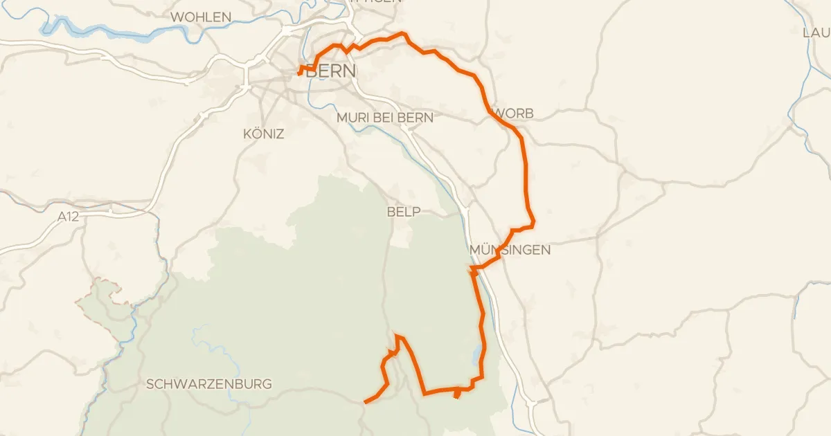
Touring89% paved
Bern-Süd-Route
42 km↑ 698 m6 km away
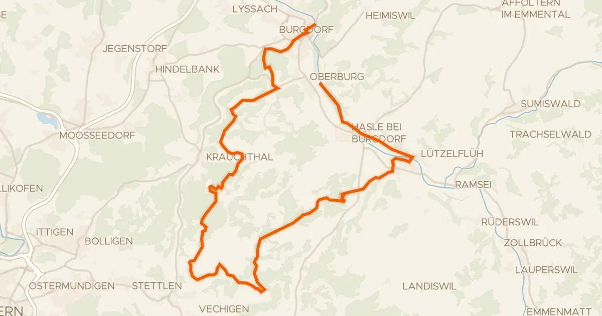
Touring78% paved
Herzschlaufe Burgdorf
40 km↑ 1,025 m10 km away
Mänziwilegg
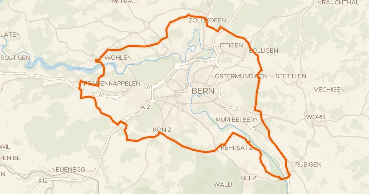
Touring88% paved
Grünes Band Bern
59 km↑ 990 m10 km away
Schlupf
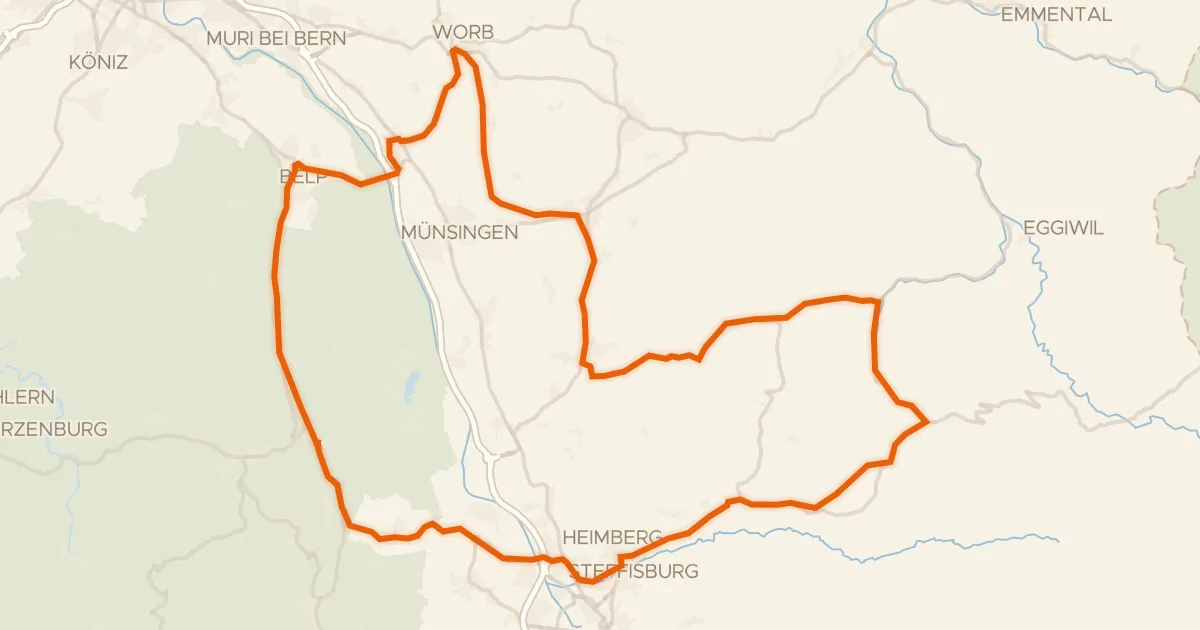
Road bike100% paved
Castles along the Aare
75 km↑ 909 m10 km away
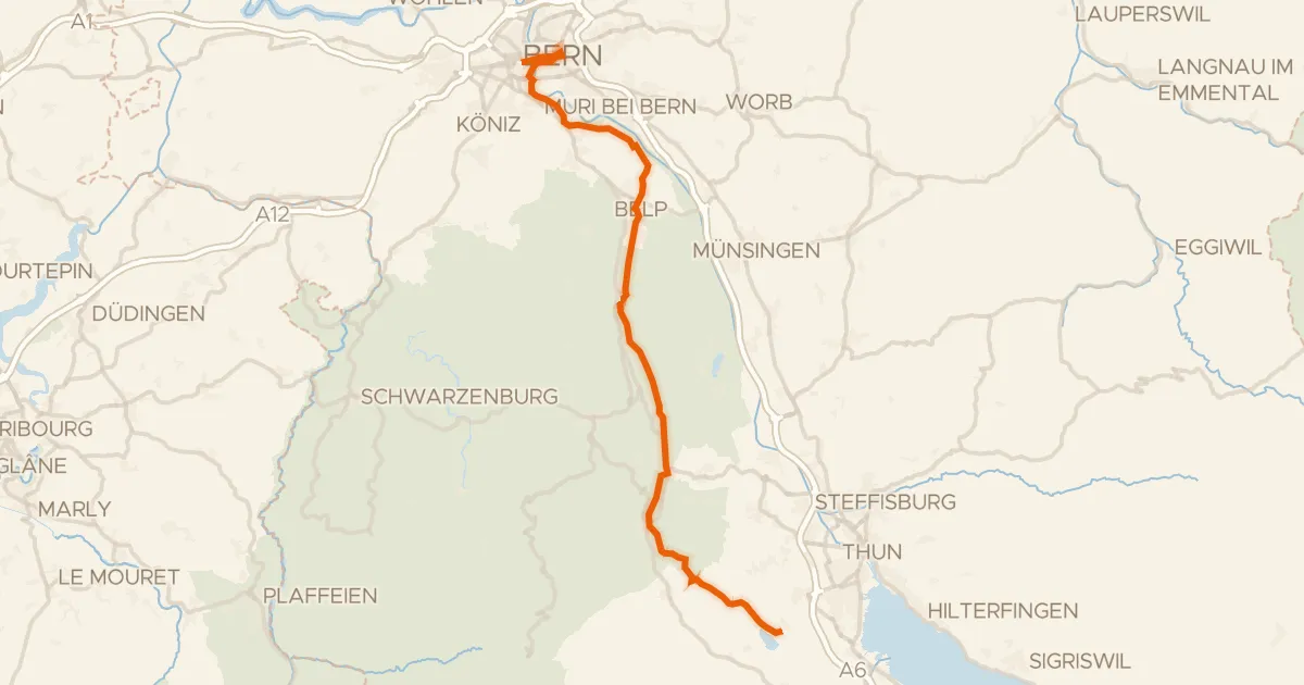
Touring91% paved
Gürbe–Sense
39 km↑ 274 m11 km away

Gravel33% paved
Climbs between Emme and Grüne
64 km↑ 2,162 m11 km away