Back to the librarykm 3–7km 9–11km 13–16km 17–18km 18–21km 25–26km 29–33km 35–36km 37–38km 39–40km 43–43km 43–44km 44–44
GravelMade by RouteCasterRound trip
Gravel between Thürnen and Böckten
Distance
57 km
Ascent
2,208 m
Highest point
893 m
27% paved
Start from your location
Ride there from home: we find the shortest way to the loop and start the loop from there.
The ride
This ride rolls out of Gelterkinden and back again, covering 56.6 km with 2208 m of climbing along the way. Most of the route is unpaved, so expect plenty of off-road riding between the paved stretches. Partway round you pass the ruins of Froburg castle before turning for home. Short, hilly, and varied underfoot.
Climbs
Climb 1Cat. 3
3.8 km at 6.7% · max 26.3%
Climb 2Cat. 4
1.7 km at 8.4% · max 19.5%
Climb 3Cat. 3
3 km at 6.9% · max 27%
Climb 4Hill
0.3 km at 10% · max 19%
Climb 5Cat. 3
2.7 km at 7.9% · max 28.2%
Climb 6Cat. 4
0.8 km at 18.8% · max 29.8%
Climb 7Cat. 2
3.6 km at 12.6% · max 26.8%
Climb 8Hill
0.4 km at 12.4% · max 23.1%
Climb 9Cat. 3
1.8 km at 9.7% · max 25.8%
Climb 10Hill
0.8 km at 9% · max 18.8%
Climb 11Hill
0.2 km at 19% · max 30%
Climb 12Hill
0.3 km at 14.2% · max 21%
Climb 13Cat. 4
0.4 km at 23.4% · max 32.8%
Routes nearby

Road bike100% paved
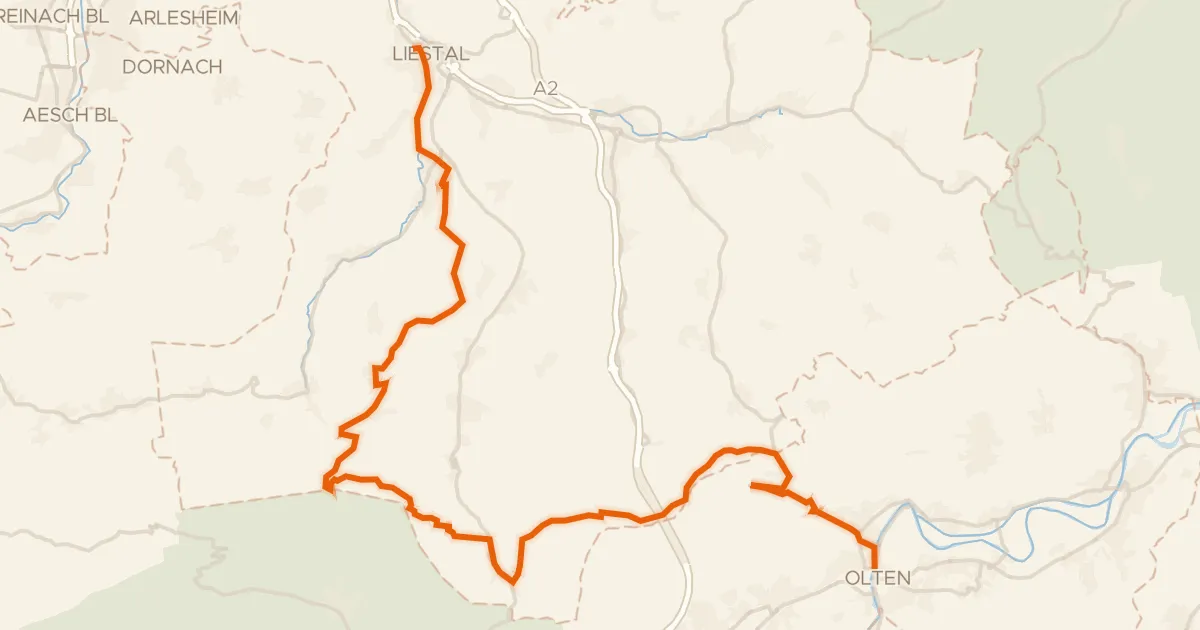
Castles along the Sissle
74 km↑ 1,620 m6 km away
Touring85% paved
Belchen-Panorama-Route
46 km↑ 1,472 m7 km away
Chilchzimmersattel · Unterer Hauenstein

Road bike99% paved
Castle route between Ziefen and Langenbruck
89 km↑ 2,501 m12 km away
Road bike96% paved
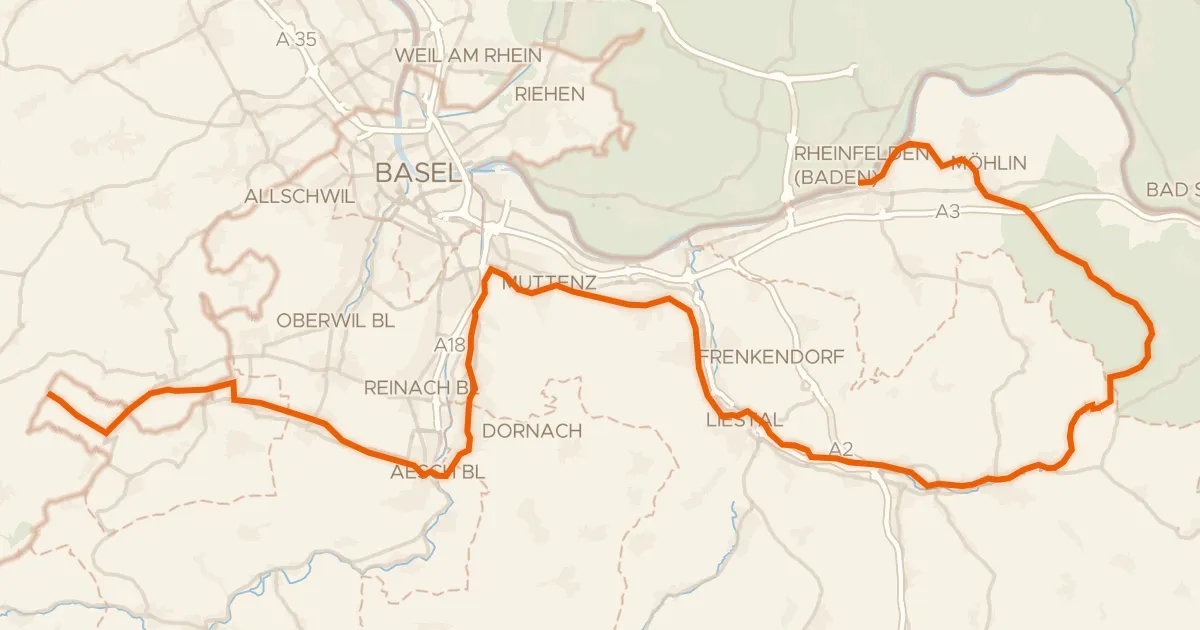
Dreiland-Radweg (schweizer Abschnitt)
73 km↑ 779 m15 km away
Gravel31% paved
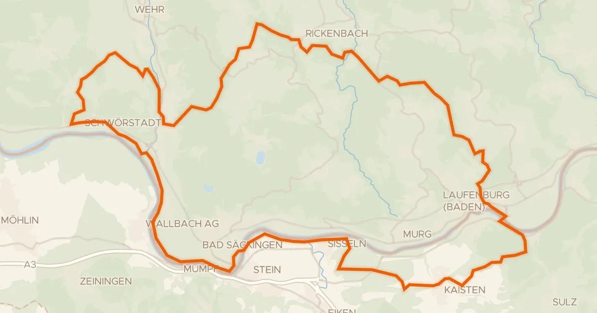
Climbs along the Wehra
60 km↑ 1,258 m16 km away
Road bike100% paved
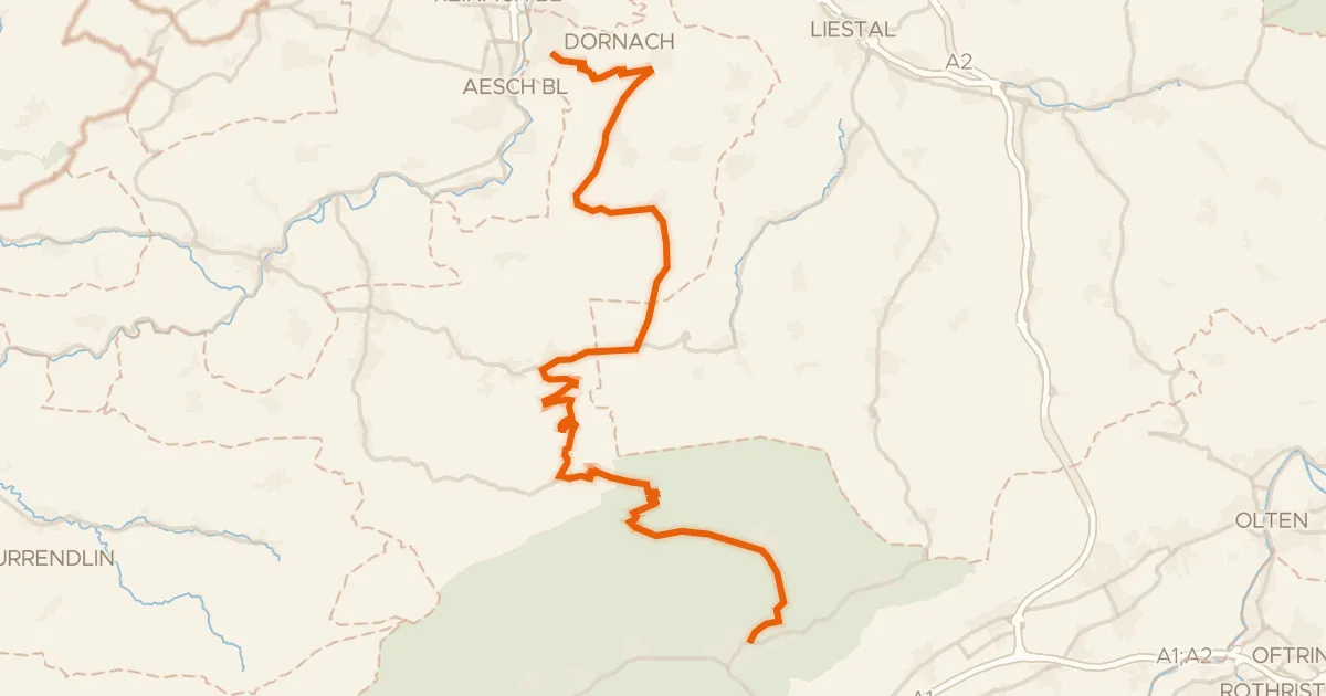
Passwang–Oberaargau
43 km↑ 1,327 m16 km away