Back to the library
TouringRound trip
Eiszeitroute (Rundroute 3)
Distance
113 km
Ascent
761 m
Highest point
145 m
73% paved
The ride
112.9 km, 761 m of climbing, and a mix of surfaces: 73% paved, 28% unpaved. Tertiary roads make up 30%, country roads 29%, dirt tracks 16%. A third of the route runs on protected cycleways or bike-network roads, and none of it on busy roads without a cycle path. Enjoy the variety!
Routes nearby
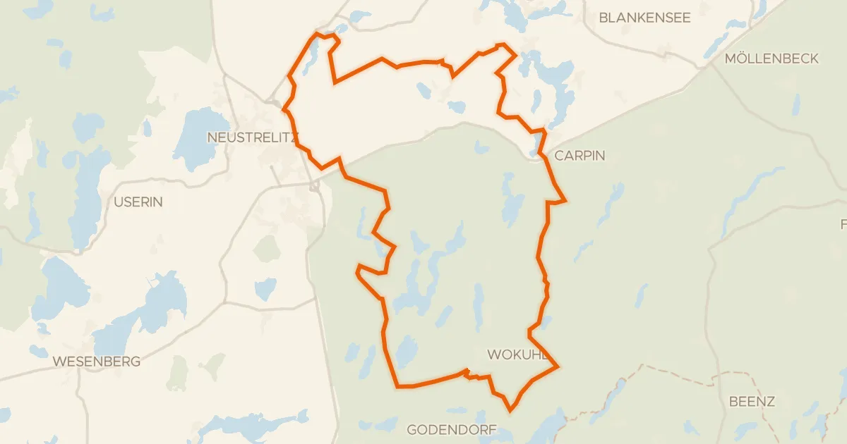
Gravel16% paved
Rondje Gutshaus Weisdin en Feldberger Seenlandschaft
62 km↑ 379 m8 km away
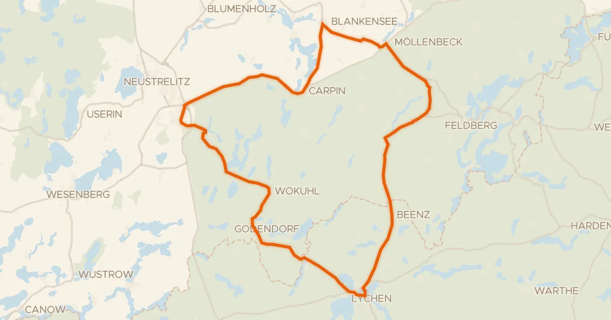
Road bike99% paved
Rondje Comthureyer Berg en Feldberger Seenlandschaft
73 km↑ 382 m11 km away
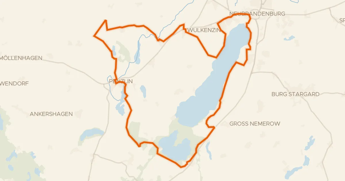
Gravel47% paved
Rondje Alte Burg Penzlin en Kuckssee und Lapitzer See
62 km↑ 482 m11 km away
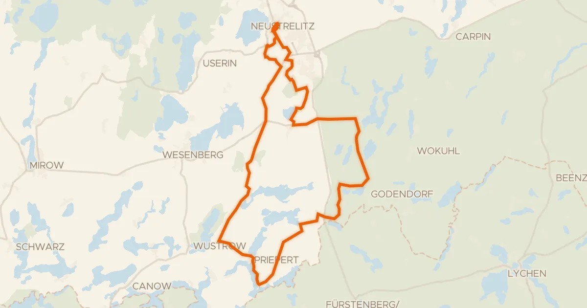
Gravel22% paved
Rondje Keetzseen en Rothes Moor bei Wesenberg
59 km↑ 289 m16 km away
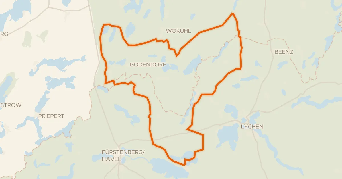
Gravel9% paved
Rondje Comthureyer Berg en Kulowseen
56 km↑ 320 m18 km away
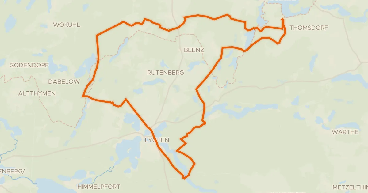
Gravel25% paved
Rondje Sandugkensee en Krüselinsee und Mechowseen
57 km↑ 372 m21 km away