Back to the librarykm 4 · May 2026 · © ManuelH / Mapillary, CC BY-SA km 52 · Aug 2025 · © VIA_AE / Mapillary, CC BY-SA km 0–4km 5–9km 18–19km 22–24km 25–29km 43–46km 47–50km 52–55
GravelMade by RouteCasterRound trip
Climbs past Tannenburg
Distance
61 km
Ascent
1,310 m
Highest point
470 m
21% paved
Start from your location
Ride there from home: we find the shortest way to the loop and start the loop from there.
The ride
Roll out from Parkeerplaats Sorgwiesen bei Weißenhasel and let the ride unfold. Past Tannenburg castle, through Geo-Naturpark Frau-Holle-Land, then Dachsberg bei Iba and Unterm Siegel bei Bebra, both nature reserves. With 1310 m of climbing, most of it on unpaved tracks, the loop keeps turning. Back to where you started.
Along the way
Climbs
Climb 1Cat. 3
3.4 km at 4.9% · max 12.3%
Climb 2Cat. 4
4.1 km at 3.7% · max 13.9%
Climb 3Cat. 4
1 km at 9.7% · max 17.3%
Climb 4Cat. 4
1.5 km at 6.6% · max 14.8%
Climb 5Cat. 4
3.5 km at 4% · max 11%
Climb 6Hill
2.1 km at 3.3% · max 15.5%
Climb 7Cat. 4
2.6 km at 5% · max 20.4%
Climb 8Cat. 4
2.6 km at 5.1% · max 13.1%
Routes nearby
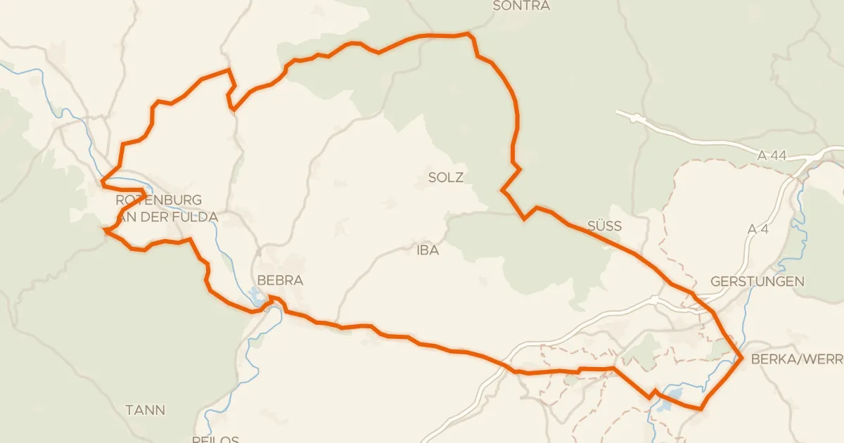
Road bike100% paved
Hills between Rittershain and Dippach
82 km↑ 1,072 m5 km away
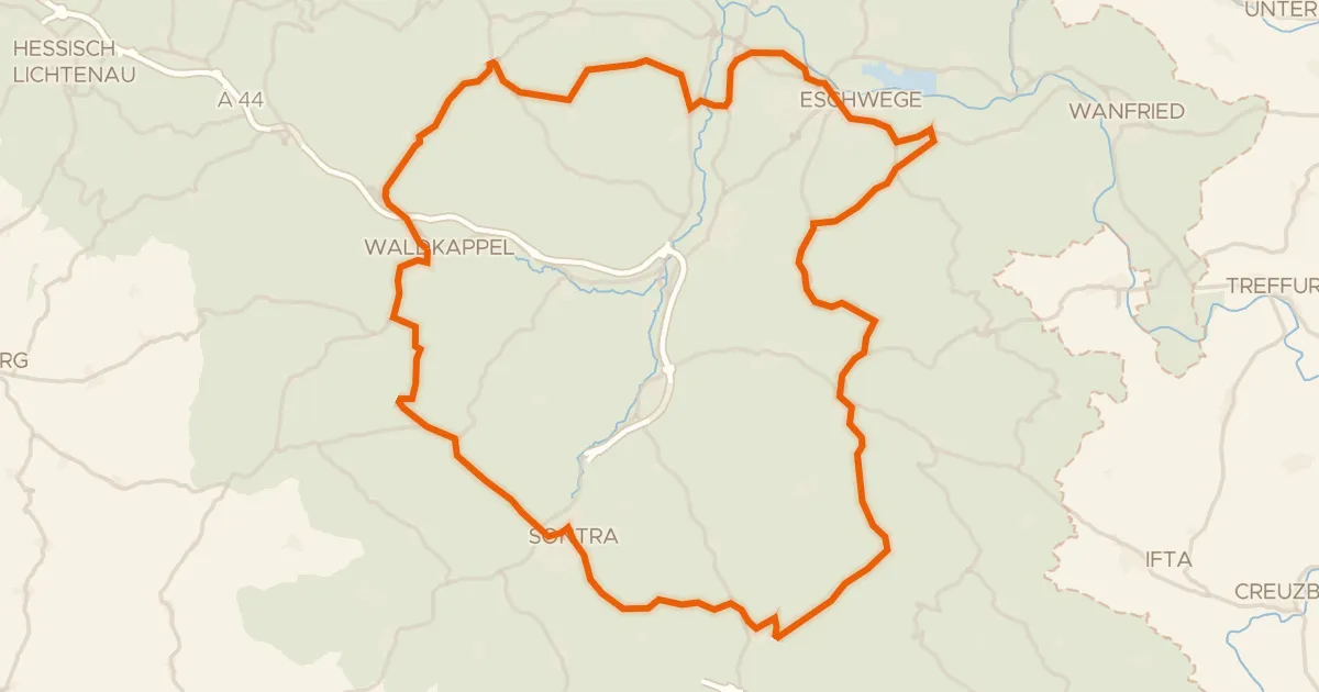
Road bike100% paved
Waterside loop between Oberdünzebach and Renda
75 km↑ 1,198 m12 km away
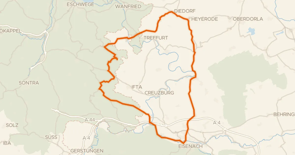
Road bike97% paved
Past the Graburg to Lüderbach
76 km↑ 1,150 m21 km away
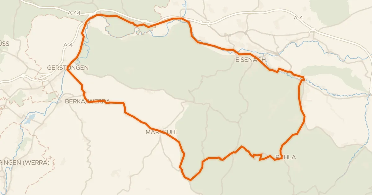
Road bike98% paved
Hilly ride over the Hörsel
72 km↑ 700 m22 km away
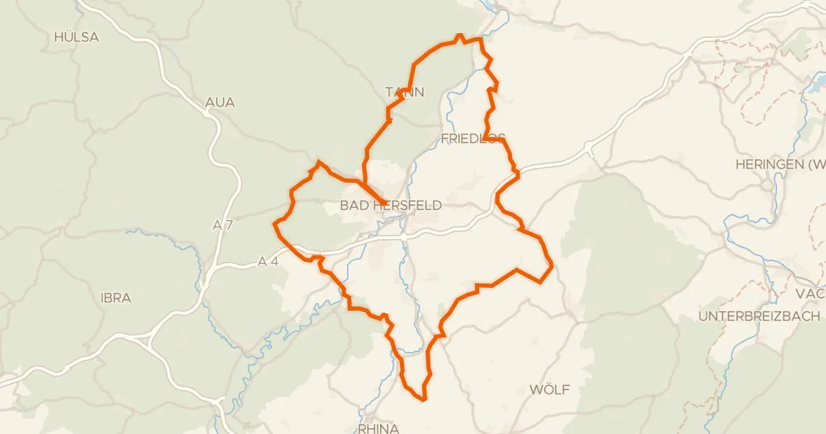
Gravel23% paved
Gravel loop through Blankenheim
76 km↑ 1,732 m23 km away
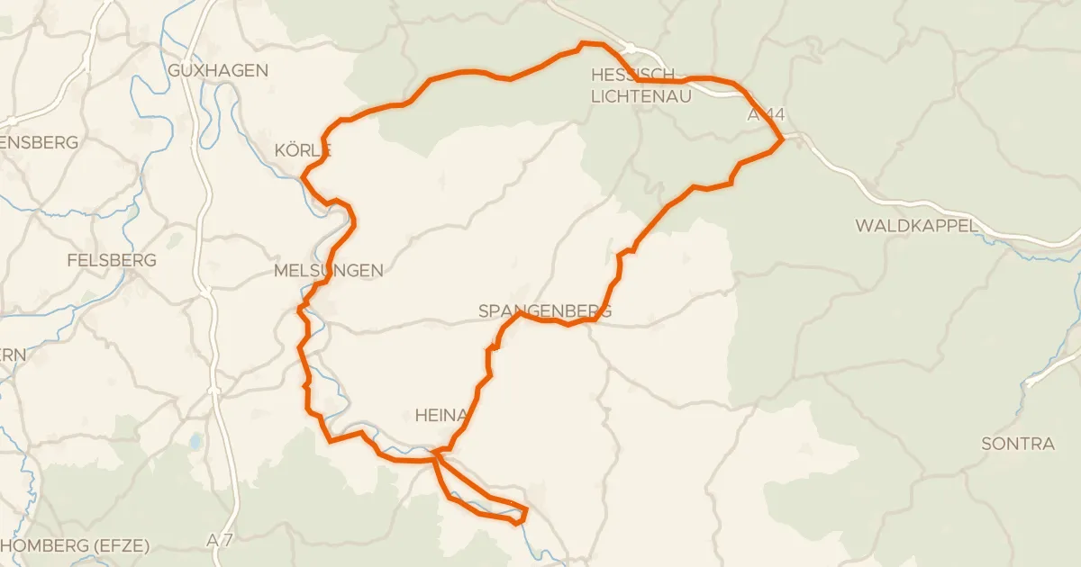
Road bike100% paved
Hills between Malsfeld and Altmorschen
77 km↑ 857 m23 km away