Back to the librarykm 0–1km 6–7km 7–8km 14–15km 16–18km 19–20km 21–22km 26–29km 36–37km 39–40km 44–45km 46–49km 56–57
GravelMade by RouteCasterRound trip
Climbs between La Vézère and Rivière d'Ars
Distance
58 km
Ascent
1,232 m
Highest point
817 m
38% paved
Start from your location
Ride there from home: we find the shortest way to the loop and start the loop from there.
The ride
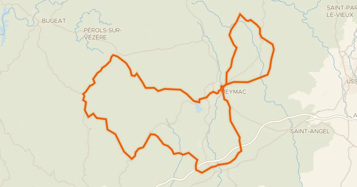
This 58.4 km loop sets off from Lacelle and follows the water, riding beside La Vézère river, then the Ruisseau de Pérols, La Petite Vézère and the Rivière d'Ars before turning for home. Along the way the route climbs a total of 1232 m, so the legs get a proper workout between the rivers. With 63% of the surface unpaved, there's plenty of off-tarmac riding to enjoy. Back in Lacelle, you'll have earned whatever comes next.
Climbs
Climb 1Cat. 4
1.4 km at 6.7% · max 17.7%
Climb 2Hill
0.8 km at 3.3% · max 7.2%
Climb 3Hill
0.9 km at 5.9% · max 10.7%
Climb 4Cat. 4
1.7 km at 6.9% · max 21.6%
Climb 5Cat. 4
1.7 km at 6.4% · max 13.4%
Climb 6Hill
1.2 km at 5.9% · max 12.9%
Climb 7Hill
1.3 km at 3.6% · max 5.5%
Climb 8Cat. 4
2.7 km at 4% · max 17%
Climb 9Hill
1.2 km at 3.8% · max 9.9%
Climb 10Hill
1.2 km at 4.8% · max 11.9%
Climb 11Hill
0.8 km at 4.1% · max 6.2%
Climb 12Cat. 4
3.2 km at 4% · max 18.8%
Climb 13Hill
1 km at 3.3% · max 6.8%
Routes nearby

Road bike100% paved
Waterside via Eymoutiers
74 km↑ 1,240 m20 km away

Road bike100% paved
Waterside between La Vézère and Le Bradascou
80 km↑ 1,042 m20 km away

Road bike100% paved
Hills between Gentioux and Faux-la-Montagne
75 km↑ 1,134 m23 km away

Road bike98% paved
Castles between Linards and Pierre-Buffière
91 km↑ 1,018 m24 km away
Road bike100% paved
Pays de Meymac
80 km↑ 1,621 m24 km away
Col de la Blanche

Road bike100% paved
Hills between La Corrèze and La Vimbelle
76 km↑ 1,304 m25 km away