Back to the librarykm 0–4km 4–8km 12–13km 15–16km 16–17km 18–19km 20–20km 21–22km 26–27km 29–41km 46–46km 49–51km 55–55km 56–56km 57–57
GravelMade by RouteCasterRound trip
Climbs between La Moselle and La Cleurie
Distance
64 km
Ascent
1,624 m
Highest point
765 m
25% paved
Start from your location
Ride there from home: we find the shortest way to the loop and start the loop from there.
The ride
From Pouxeux, this 64.4 km loop heads out past the river La Moselotte and the Dérivation de la Moselotte, then follows La Cleurie and La Moselle on its way around. With 1624 m of climbing and three quarters of the route unpaved, it keeps you working between the rivers. The Beuch'nô-Pierre viewpoint comes before the ride rolls back to Pouxeux.
Climbs
Climb 1Cat. 4
3.5 km at 4.3% · max 24.6%
Climb 2Cat. 4
3.6 km at 4.2% · max 14.7%
Climb 3Hill
0.6 km at 5% · max 11%
Climb 4Hill
0.9 km at 3.9% · max 9.6%
Climb 5Hill
1 km at 6.3% · max 15.5%
Climb 6Cat. 4
1.3 km at 7% · max 29.7%
Climb 7Hill
0.4 km at 6.4% · max 10.2%
Climb 8Cat. 4
1.7 km at 6.4% · max 14.7%
Climb 9Hill
0.6 km at 7.2% · max 19.1%
Climb 10Cat. 2
12.1 km at 3.1% · max 18.7%
Climb 11Hill
0.7 km at 7.1% · max 12.6%
Climb 12Cat. 4
1.7 km at 8.9% · max 16.9%
Climb 13Cat. 4
0.7 km at 14.9% · max 34.1%
Climb 14Hill
0.4 km at 7.1% · max 11%
Climb 15Hill
0.7 km at 7.1% · max 17.7%
Routes nearby
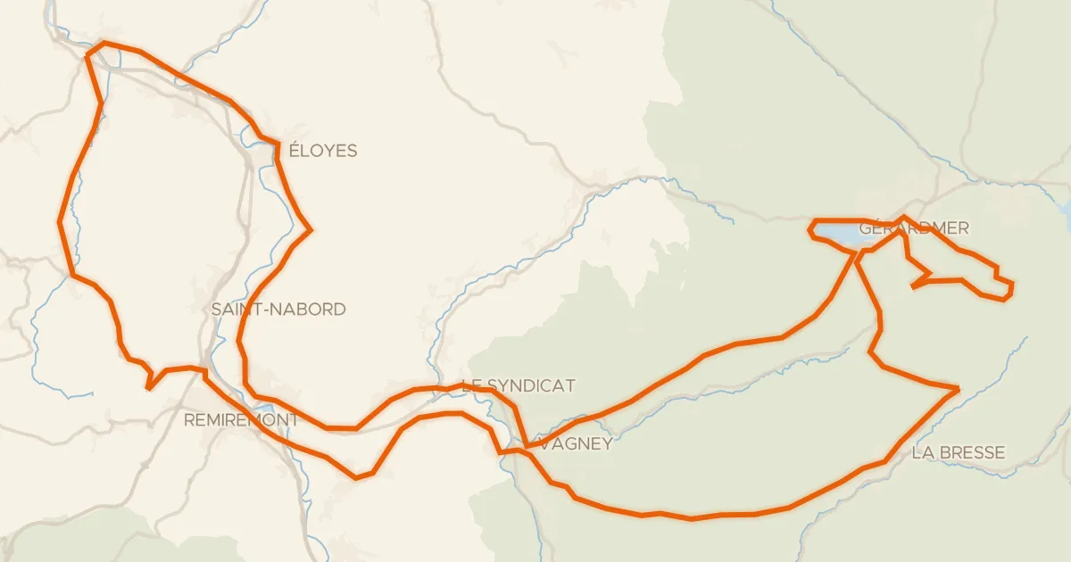
Road bike100% paved
La route des 4 cols
117 km↑ 2,059 m13 km away
Col de la Croix des Moinats · Col de Sapois

Road bike98% paved
Rondje Château d'Épinal en La Moselle
90 km↑ 803 m14 km away

Road bike96% paved
Langs La Vologne en La Cleurie
75 km↑ 1,129 m15 km away
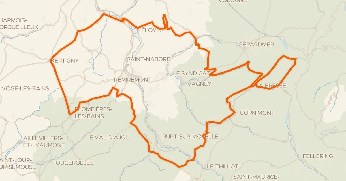
Road bike100% paved
Granfondo Vosges
181 km↑ 3,780 m15 km away
Col des Feignes sous Vologne · Col de Bonnefontaine

Road bike99% paved
Rondje Château des Bouly en L'Augronne
87 km↑ 942 m24 km away
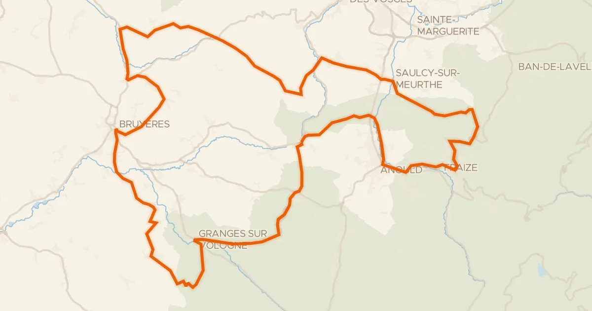
Road bike100% paved
Les Arentès
102 km↑ 1,633 m25 km away
Col des Chaufours · Col d'Anozel