Back to the librarykm 33 · Sep 2023 · © DerMaster0815 / Mapillary, CC BY-SA km 2–3km 10–11km 12–13km 13–14km 20–21km 21–22km 22–23km 24–26km 27–28km 31–33km 36–38km 39–40km 40–42km 44–45km 46–47km 47–49km 51–52km 53–53km 55–56km 58–59
GravelMade by RouteCasterRound trip
Climbs between Bechen and Wipperfeld
Distance
59 km
Ascent
1,425 m
Highest point
329 m
13% paved
Start from your location
Ride there from home: we find the shortest way to the loop and start the loop from there.
The ride
Roll out from Parkeerplaats Oberläufe der Großen Dhünn and let the gravel take over: most of this 58.5 km loop runs unpaved. You pass through Pfengstbachtal nature reserve, then Dhünntal und Linnefetal mit Seitentälern nature reserve, before Hilgener Ziegeleiloch nature reserve and Stödterbachtal und Nebenbäche nature reserve roll by. With 1425 m of climbing, the day keeps giving. Back at the start, you'll know where those metres went.
Along the way
Climbs
Climb 1Hill
1 km at 5.5% · max 15.5%
Climb 2Hill
0.6 km at 5.9% · max 12.8%
Climb 3Hill
0.4 km at 8.2% · max 11.7%
Climb 4Cat. 4
1.2 km at 7.5% · max 17.8%
Climb 5Hill
0.6 km at 8.1% · max 19%
Climb 6Hill
0.4 km at 7.3% · max 10.7%
Climb 7Hill
0.7 km at 6.7% · max 15.7%
Climb 8Hill
1.6 km at 3.2% · max 14.4%
Climb 9Hill
0.5 km at 15.5% · max 26.6%
Climb 10Cat. 4
1.8 km at 4.5% · max 11.7%
Climb 11Cat. 4
1.8 km at 4.5% · max 11.2%
Climb 12Hill
0.9 km at 5% · max 11.2%
Climb 13Cat. 4
1.6 km at 5.6% · max 26%
Climb 14Hill
0.9 km at 4.1% · max 7.6%
Climb 15Hill
1.3 km at 4.7% · max 15.2%
Climb 16Hill
2 km at 3.2% · max 12.4%
Climb 17Hill
0.6 km at 7.5% · max 27.5%
Climb 18Hill
0.8 km at 4% · max 9.3%
Climb 19Cat. 4
1.3 km at 7.6% · max 17.8%
Climb 20Hill
0.5 km at 6.1% · max 8.7%
Routes nearby
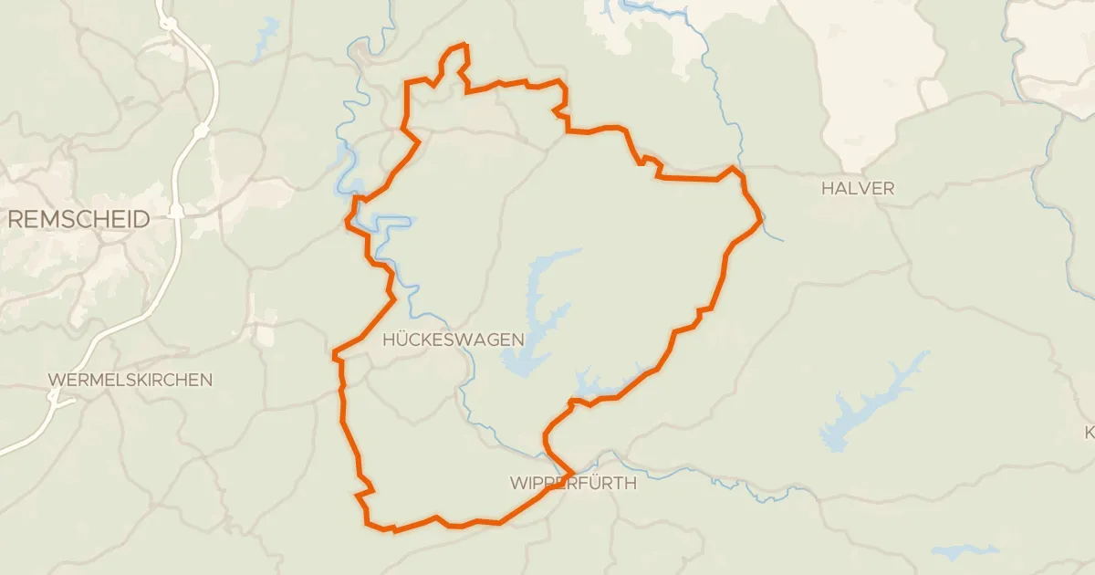
Gravel33% paved
Climbs between Önkfeld and Wipperfürth
58 km↑ 1,155 m9 km away
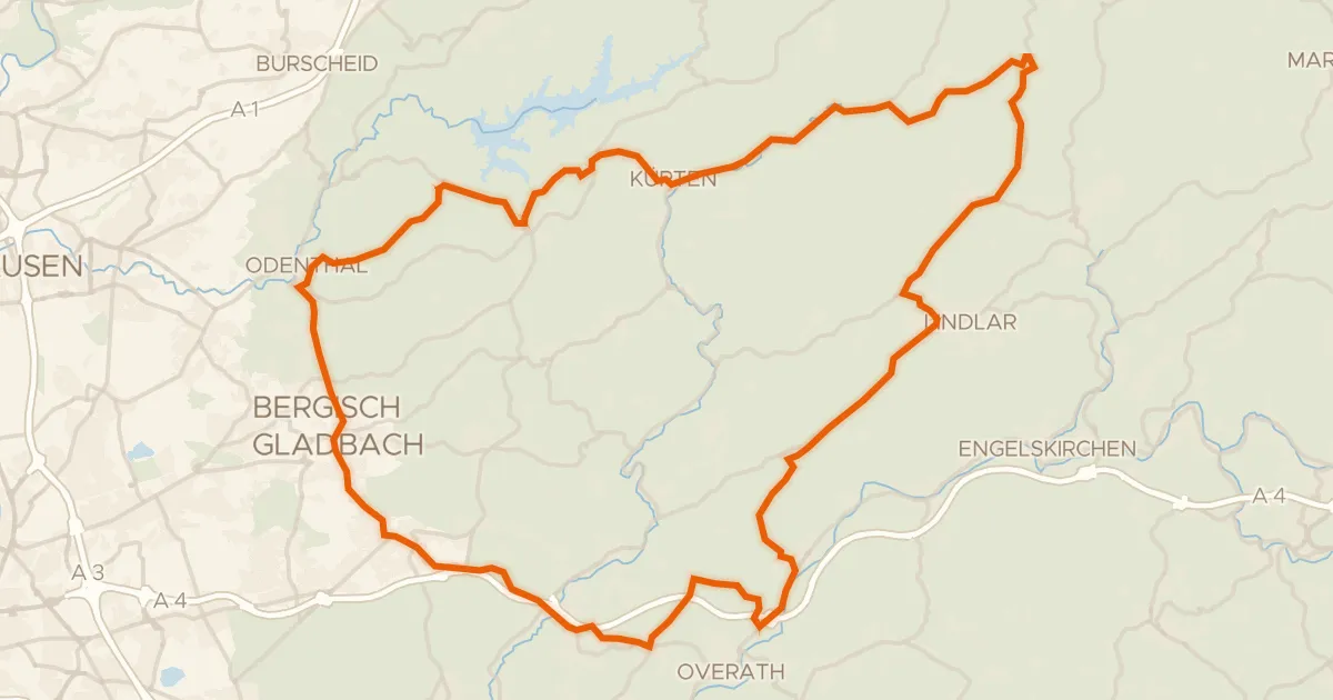
Road bike100% paved
Castles between Untereschbach and Kürten
73 km↑ 1,030 m10 km away
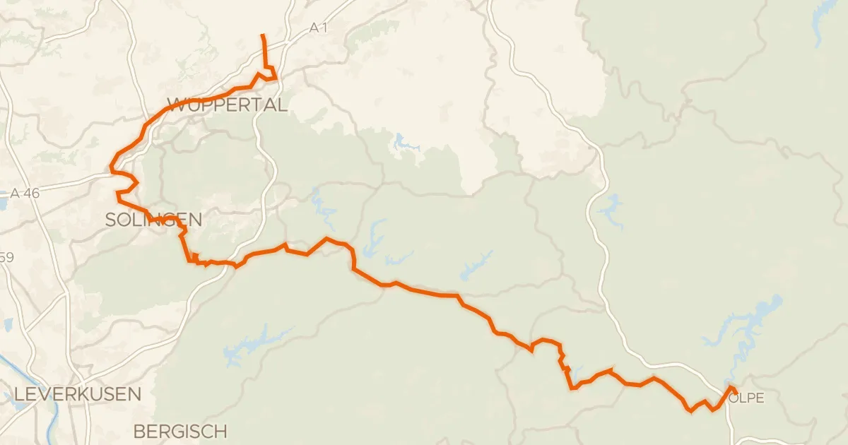
Touring93% paved
Bergischer Panoramaradweg
119 km↑ 1,707 m12 km away
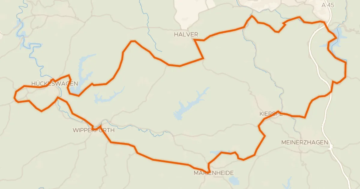
Road bike98% paved
Castles and views around Hückeswagen
90 km↑ 1,248 m13 km away
Gravel41% paved
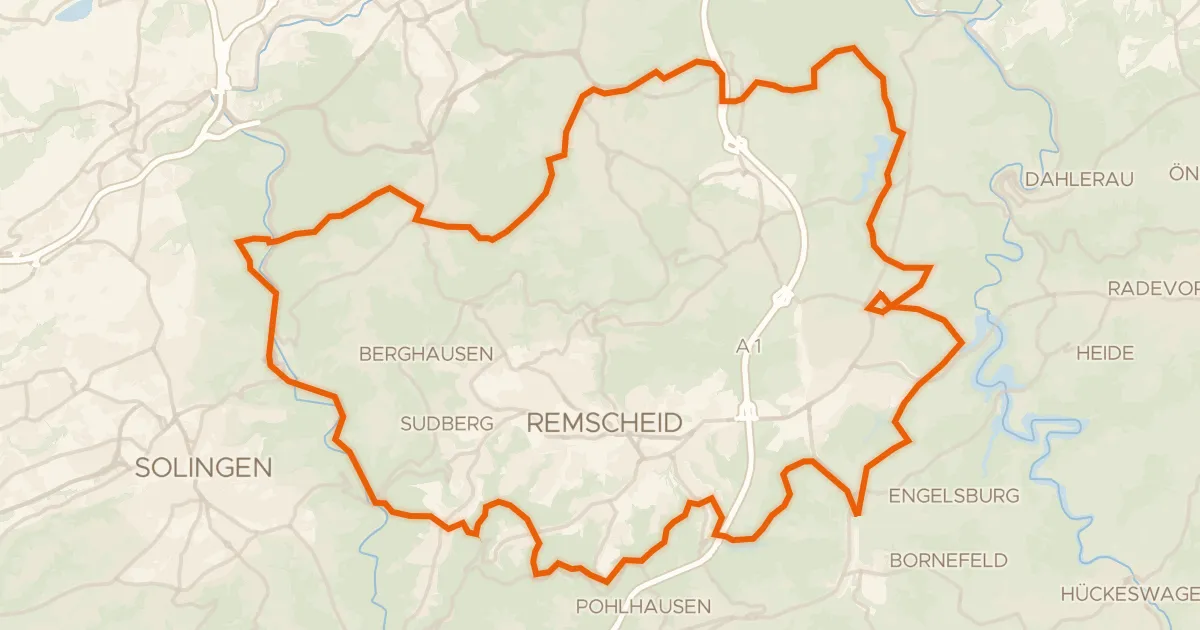
Climbs past the Diederichstempel
59 km↑ 1,347 m15 km away
Gravel45% paved
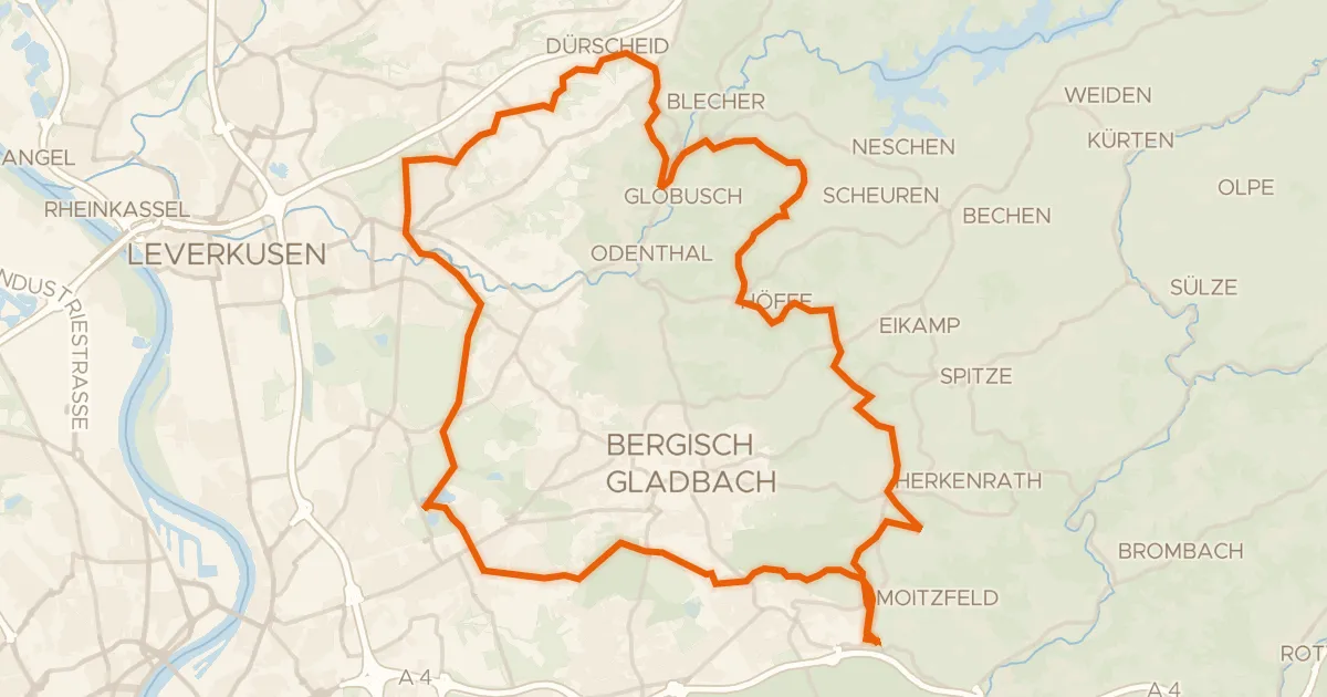
Gravel between Hardtmühle and Herrenstrunden
61 km↑ 904 m17 km away