Back to the librarykm 13–14km 15–18km 36–40km 40–49km 55–60km 66–67
Road bikeMade by RouteCasterRound trip
Climbs around Santa Croce del Sannio
Distance
77 km
Ascent
1,445 m
Highest point
811 m
100% paved
Start from your location
Ride there from home: we find the shortest way to the loop and start the loop from there.
The ride
Roll out of San Marco dei Cavoti and the road soon follows the Fiume Tammaro, a river that sets the tone for the day. Then it's on to the Oasi WWF Lago di Campolattaro, a nature reserve, before the Oasi WWF Nord, also a nature reserve, keeps you company. All 77.3 km are paved, with 1445 m of climbing along the way, and the loop brings you back to where you started.
Climbs
Climb 1Cat. 4
1.1 km at 9.2% · max 13%
Climb 2Cat. 4
3 km at 3.6% · max 7.7%
Climb 3Cat. 3
4.1 km at 5% · max 10.4%
Climb 4Cat. 3
8.3 km at 3.3% · max 13.2%
Climb 5Cat. 3
4.3 km at 5.1% · max 13.5%
Climb 6Cat. 4
1.2 km at 7.8% · max 16.5%
Routes nearby

Gravel66% paved
Langs Oasi WWF Nord en Fiume Tammaro
51 km↑ 1,384 m16 km away

Road bike100% paved
Rondje Oasi LIPU Zone Umide Beneventane en Fiume Tammaro
74 km↑ 1,398 m20 km away

Road bike100% paved
Rondje Parco Nazionale del Matese en Tammaro
74 km↑ 1,672 m23 km away

Road bike100% paved
Rondje Castello di Montesarchio en Castello di Tufo
81 km↑ 1,652 m28 km away
Road bike98% paved
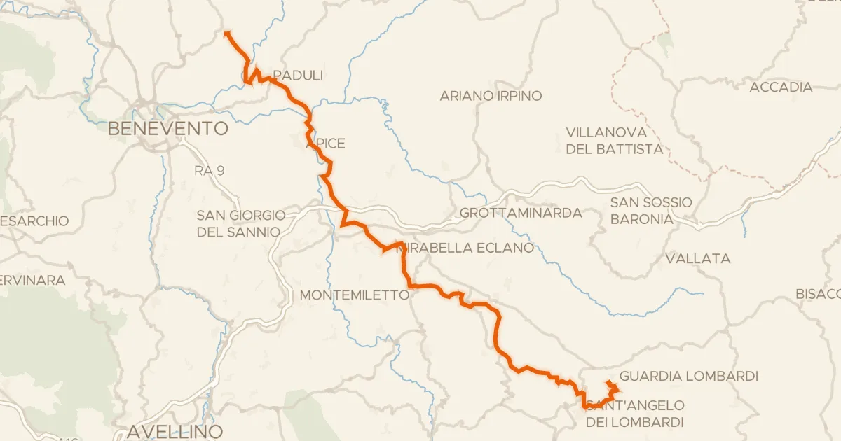
ABT Tappa 22: Pietrelcina - Guardia Lombardi
69 km↑ 1,959 m30 km away

Gravel16% paved
Rondje Palazzo Ducale dei Gambacorta en Lago di Occhito
61 km↑ 1,779 m32 km away