Back to the librarykm 0–6km 11–12km 13–21km 28–29km 30–31km 32–33km 34–36km 39–40km 40–45km 46–49km 50–51km 55–57km 60–61
GravelMade by RouteCasterRound trip
Climbs along the Kahler Asten
Distance
62 km
Ascent
1,885 m
Highest point
816 m
13% paved
Start from your location
Ride there from home: we find the shortest way to the loop and start the loop from there.
The ride
Roll out from Parkeerplaats Hirschberg and let the ride unfold: first past Birkelbach und Pfaffenhude, a nature reserve, then on through Günninghauser Mark, another nature reserve. Climb toward Kahler Asten, a nature reserve, before looping over Hunau, Langer Rücken and Heidberg, all nature reserve too. With 61.9 km and most of it unpaved, plus 1885 m of climbing, it's a full day out — and it finishes right back at Hirschberg.
Climbs
Climb 1Cat. 2
5.5 km at 6.1% · max 13.3%
Climb 2Hill
0.3 km at 10.8% · max 13.1%
Climb 3Cat. 2
7.7 km at 4.2% · max 23.4%
Climb 4Cat. 4
1.4 km at 11.3% · max 30%
Climb 5Hill
1.3 km at 4.8% · max 17.1%
Climb 6Cat. 4
1.9 km at 5% · max 12.7%
Climb 7Cat. 4
2.1 km at 4.5% · max 17%
Climb 8Hill
0.3 km at 10.3% · max 14%
Climb 9Cat. 3
4.7 km at 5% · max 21.1%
Climb 10Cat. 4
2.6 km at 5.6% · max 15.8%
Climb 11Hill
0.9 km at 6.6% · max 26.9%
Climb 12Hill
1.7 km at 4% · max 10.4%
Climb 13Hill
0.4 km at 9.9% · max 19.9%
Routes nearby
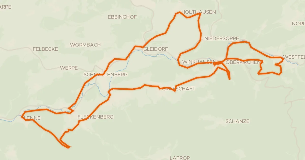
Touring84% paved
Golddorf-Radroute
48 km↑ 950 m4 km away
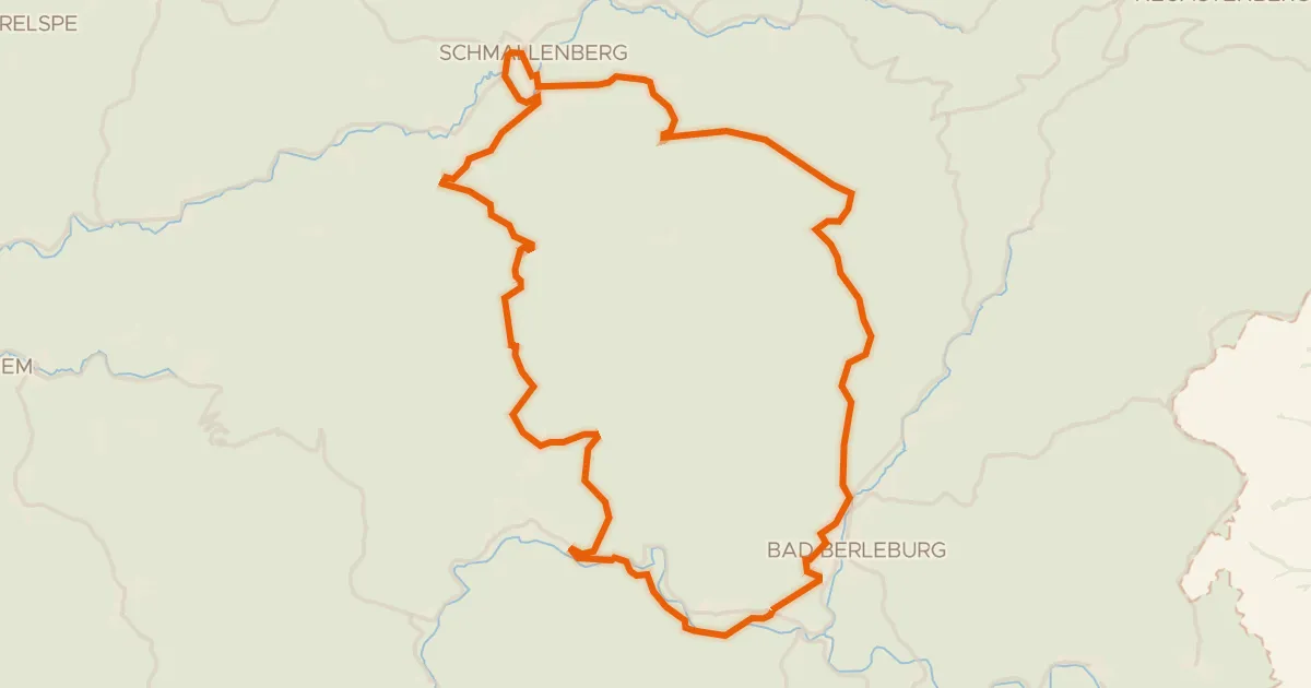
Touring82% paved
Rothaar-Radroute
52 km↑ 1,171 m8 km away
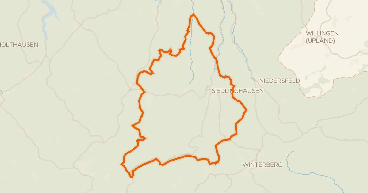
Gravel16% paved
Gravel between Brunskappel and Rehsiepen
59 km↑ 1,849 m11 km away
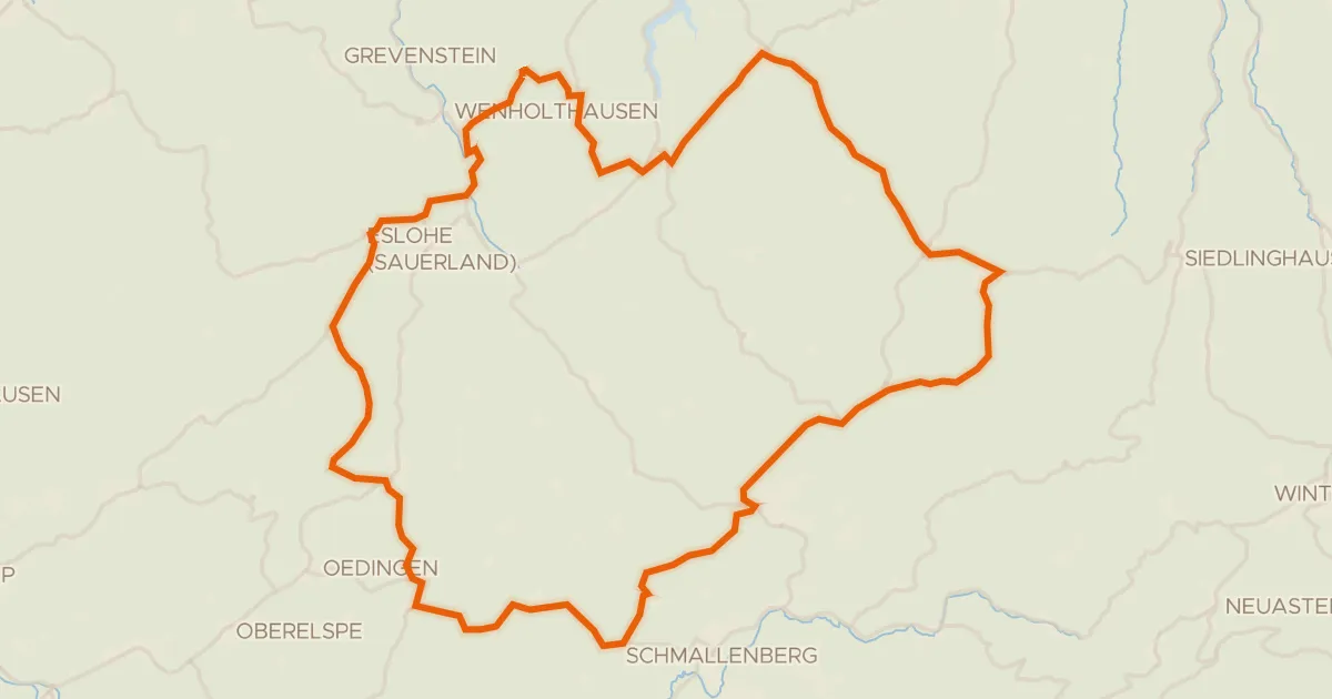
Road bike100% paved
Climbs between Remblinghausen and Wormbach
71 km↑ 1,338 m11 km away
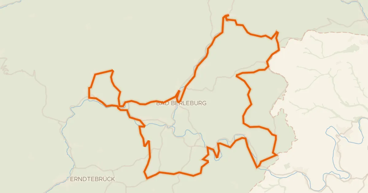
Touring74% paved
Die Holzmacherin
88 km↑ 1,970 m12 km away
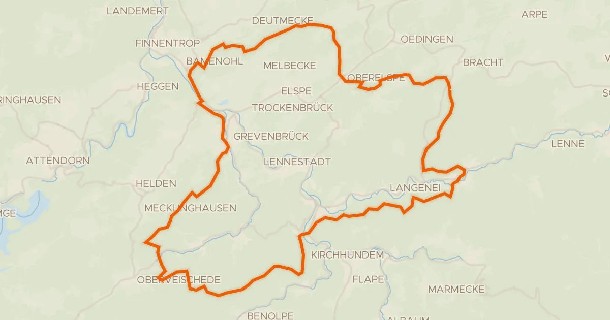
Gravel10% paved
Castles between Saalhausen and Oberelspe
65 km↑ 1,910 m22 km away