Back to the librarykm 0–2km 3–5km 8–10km 11–12km 13–15km 16–16km 18–18km 22–23km 32–33km 36–40km 40–43km 49–52km 54–55km 59–60km 60–62km 62–63
GravelMade by RouteCasterRound trip
Climb through the Hofstätter Wald
Distance
64 km
Ascent
1,452 m
Highest point
553 m
12% paved
Start from your location
Ride there from home: we find the shortest way to the loop and start the loop from there.
The ride
Roll out of Feuersbach and let the ride unfold: 63.6 km with 1452 m of climbing, mostly unpaved. You pass the Sehmbach-Quellgebiet nature reserve, then the Hellertalaue, before the Pfannenberger Wald and Hofstätter Wald nature reserves. Near the end comes the Wassermühle Niederdielfen watermill, and then it's back to Feuersbach.
Climbs
Climb 1Cat. 4
1.7 km at 5.6% · max 16.1%
Climb 2Cat. 4
2.1 km at 5.3% · max 13.1%
Climb 3Cat. 4
2.2 km at 3.7% · max 12.3%
Climb 4Hill
0.8 km at 4.4% · max 10.4%
Climb 5Cat. 4
2.3 km at 5.3% · max 15.6%
Climb 6Hill
0.5 km at 5.8% · max 7.9%
Climb 7Hill
0.4 km at 6.6% · max 10.5%
Climb 8Hill
0.8 km at 3.5% · max 10.8%
Climb 9Cat. 4
1 km at 9.2% · max 21.1%
Climb 10Cat. 4
3.9 km at 3.5% · max 11.6%
Climb 11Cat. 4
2.8 km at 5.1% · max 17.1%
Climb 12Cat. 3
3.2 km at 5.7% · max 18.4%
Climb 13Hill
1.3 km at 4.3% · max 8.4%
Climb 14Hill
0.8 km at 5.1% · max 7.8%
Climb 15Hill
1.2 km at 4.4% · max 12.1%
Climb 16Hill
0.9 km at 5.6% · max 13.4%
Routes nearby
Road bike99% paved
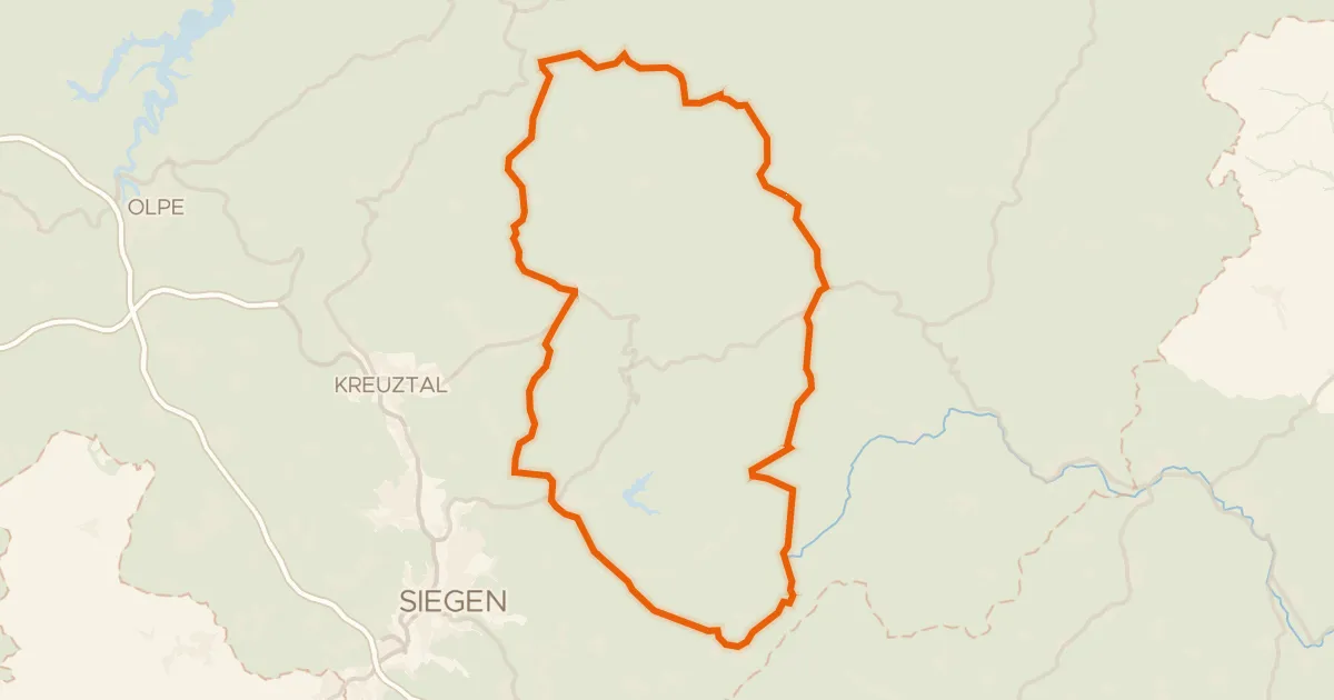
Hills between Kirchhundem and Erndtebrück
81 km↑ 1,163 m11 km away
Road bike98% paved
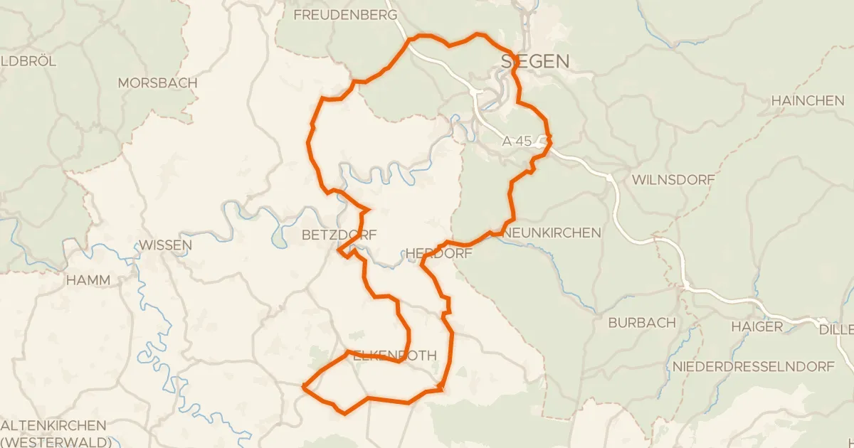
Hills around Rosenheimer Lay
82 km↑ 1,319 m15 km away
Gravel11% paved
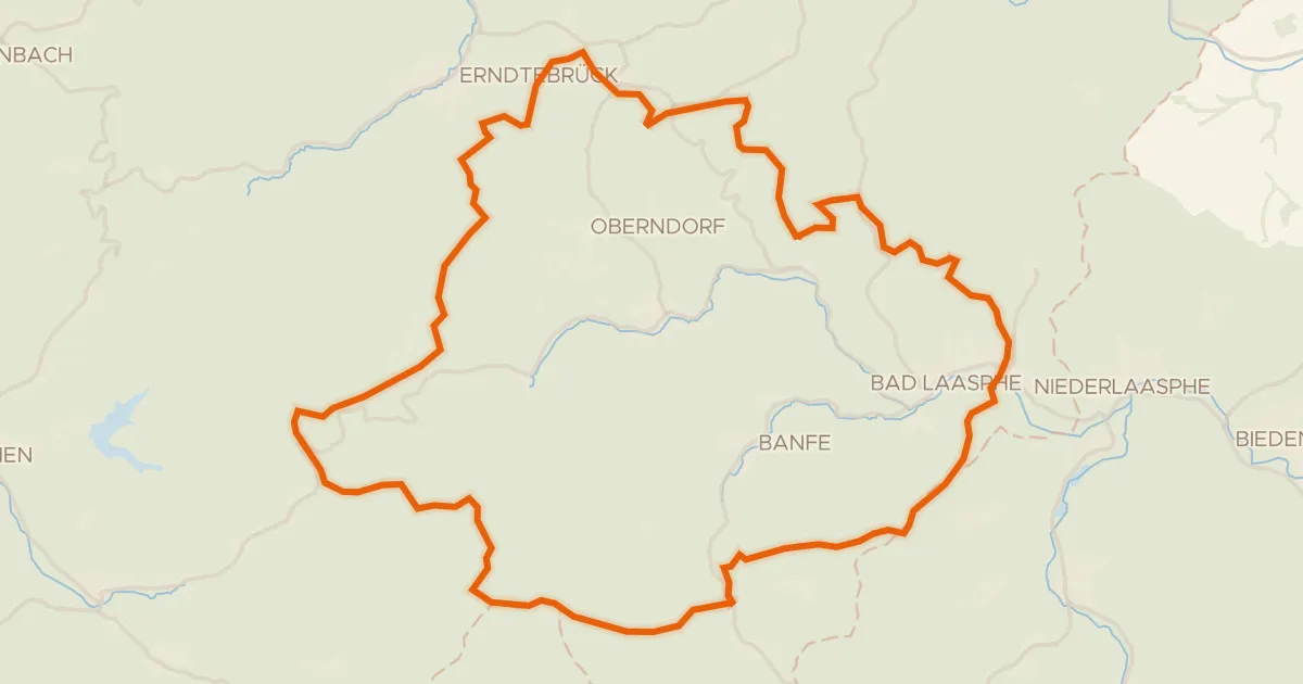
Climb between Oberes Lahntal und Laaspher Rothaarkamm
64 km↑ 1,853 m16 km away
Gravel21% paved
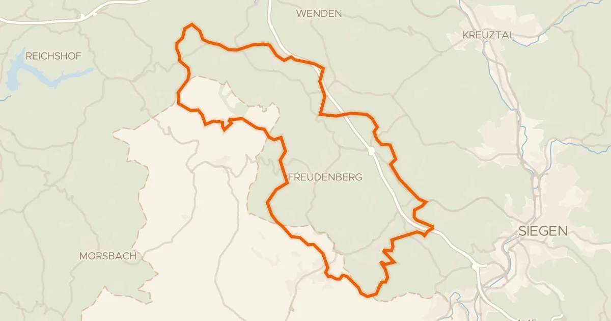
Climbs through the Uebachtal
57 km↑ 1,232 m17 km away
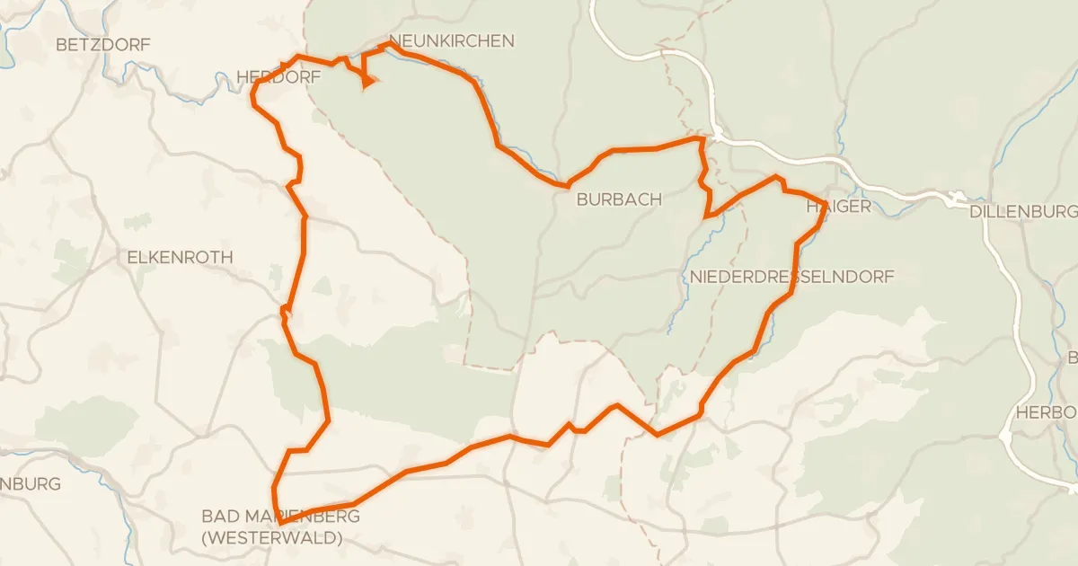
Road bike100% paved
Hills between Friedewald and Daaden
69 km↑ 1,053 m18 km away
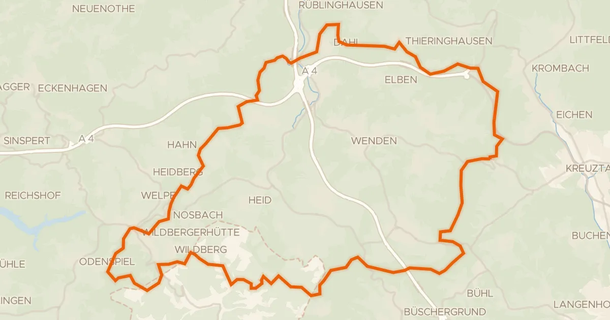
Gravel18% paved
Climbs between Wildbergerhütte and Saßmicke
58 km↑ 1,236 m21 km away