Back to the librarykm 39 · Nov 2022 · © MichelleFritzSLP / Mapillary, CC BY-SA km 11–12km 17–18km 19–19km 21–22km 23–24km 26–26km 27–27km 30–32km 34–36km 38–40km 52–54
GravelMade by RouteCasterRound trip
Climb from Schweinheim to Hilberath
Distance
60 km
Ascent
1,253 m
Highest point
434 m
16% paved
Start from your location
Ride there from home: we find the shortest way to the loop and start the loop from there.
The ride
Roll out from Parkeerplaats Ohrbach and let the Steinbach und Suerstbach valley set the tone. The route climbs 1253 m over 60.4 km, mostly unpaved, winding through the Unteres Steinbachtal nature reserve before the Liers- und Letherter Bach reserve takes over. Next come the Altendorfer und Hilberather Bach and Ersdorfer Bach reserves, each one rolling past in turn. Then it's back to where you started.
Along the way
Climbs
Climb 1Hill
1.5 km at 3.2% · max 10.6%
Climb 2Cat. 4
1.3 km at 10.2% · max 23.1%
Climb 3Hill
0.4 km at 6.9% · max 14.7%
Climb 4Hill
1.2 km at 3.3% · max 10.2%
Climb 5Cat. 4
1.2 km at 8.3% · max 15.6%
Climb 6Hill
0.2 km at 19% · max 24.4%
Climb 7Hill
0.7 km at 8.3% · max 15.1%
Climb 8Cat. 4
2.5 km at 6.2% · max 18%
Climb 9Cat. 4
1.7 km at 5.7% · max 14%
Climb 10Hill
1.1 km at 5.1% · max 9.6%
Climb 11Hill
2 km at 3% · max 6.5%
Routes nearby
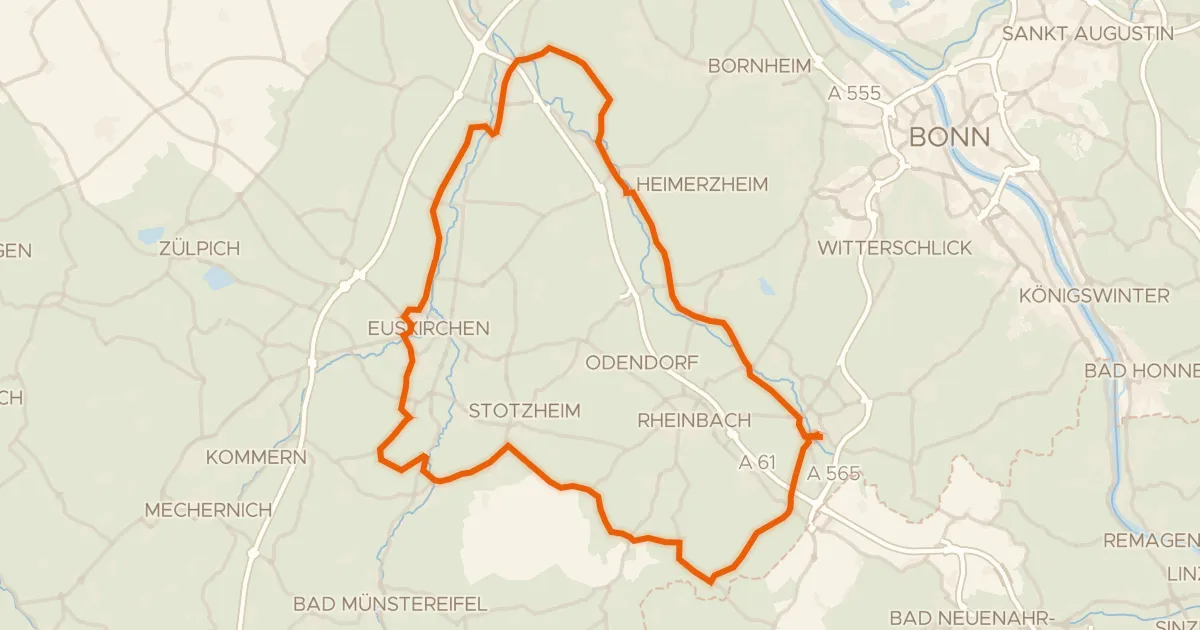
Road bike99% paved
Castles between Morenhoven and Heimerzheim
77 km↑ 570 m5 km away
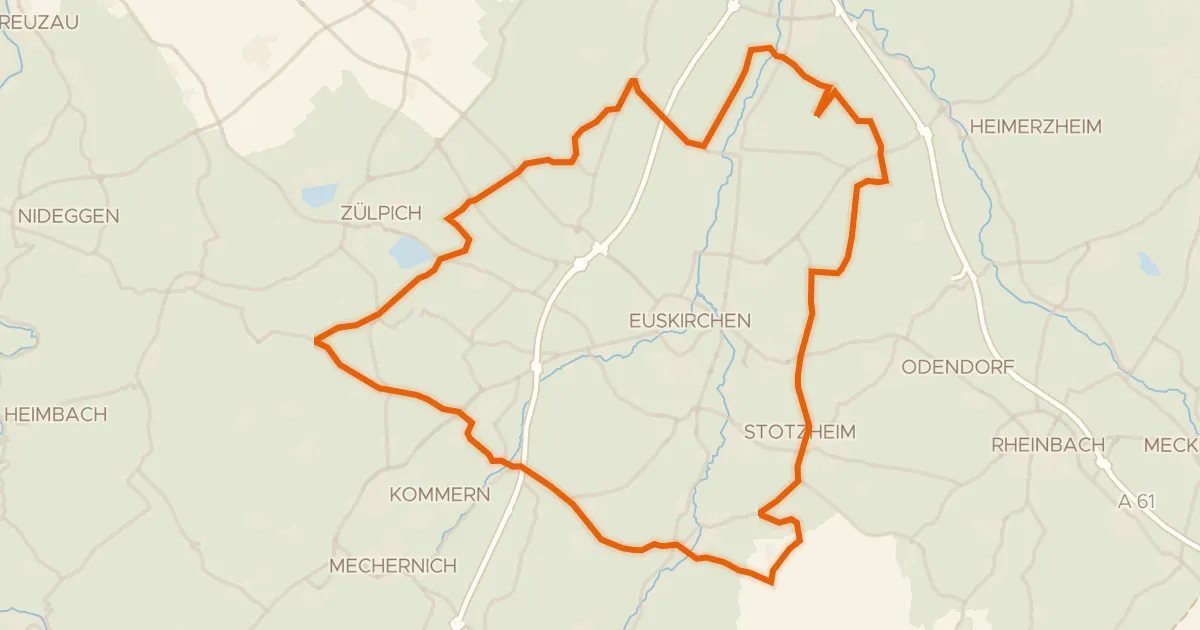
Road bike99% paved
Castle loop between Satzvey and Lommersum
69 km↑ 357 m9 km away
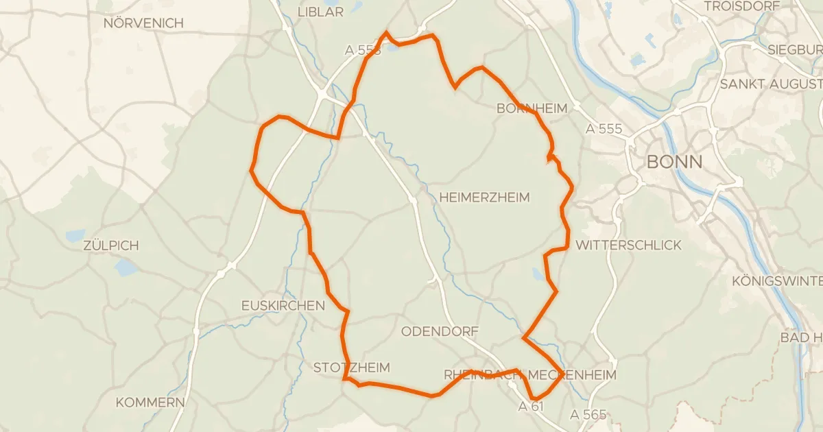
Road bike99% paved
Castles between Roisdorf and Lommersum
79 km↑ 391 m10 km away
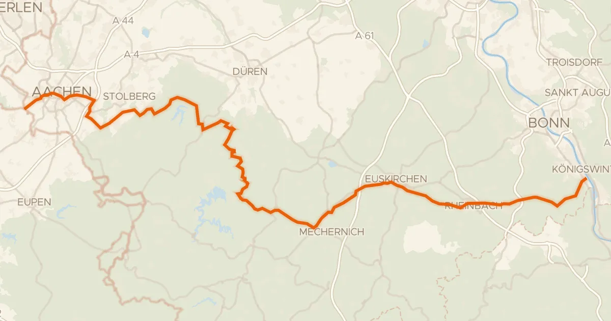
Touring92% paved
EuroVelo 3 - Pilgrim's Route - part Germany #9 Wasserburgen Route
139 km↑ 1,696 m19 km away
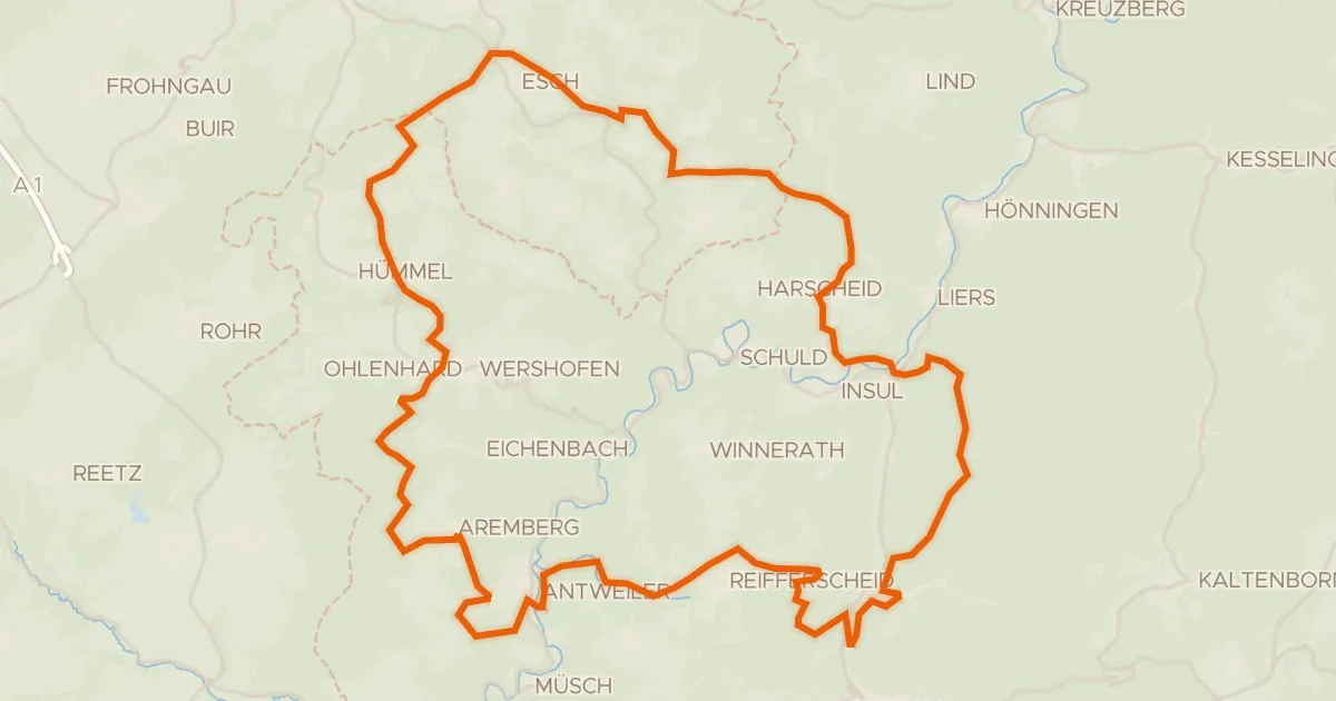
Gravel8% paved
Climbs through Aremberg
64 km↑ 1,693 m20 km away
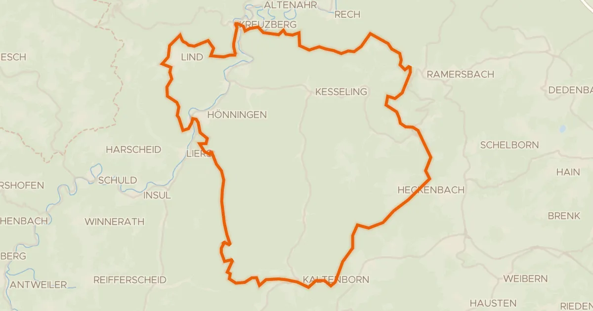
Gravel11% paved
Gravel between Kreuzberg and Kaltenborn
61 km↑ 1,833 m22 km away