Back to the librarykm 2–4km 14–14km 17–20km 22–24km 43–45km 45–48km 49–51km 51–52km 53–56km 57–60km 62–62
GravelMade by RouteCasterRound trip
Climb along the L'Endre
Distance
65 km
Ascent
1,955 m
Highest point
821 m
11% paved
Start from your location
Ride there from home: we find the shortest way to the loop and start the loop from there.
The ride
This ride rolls out of Bargemon and back again, 65.1 km with 1955 m of climbing along the way. Most of it runs unpaved, so expect a mixed day under your wheels. You pass the castle Château du Reclos, then follow the river L'Endre before turning for home. Plenty of up, plenty of variety, and a finish back where you started.
Climbs
Climb 1Cat. 3
2.6 km at 10% · max 44.3%
Climb 2Hill
0.4 km at 10.7% · max 14.4%
Climb 3Cat. 4
3.3 km at 4.7% · max 24.4%
Climb 4Cat. 4
2.6 km at 5.8% · max 12.5%
Climb 5Cat. 4
2.1 km at 4.4% · max 13.7%
Climb 6Cat. 4
2.9 km at 4.7% · max 14.7%
Climb 7Cat. 4
1.6 km at 7.6% · max 19.9%
Climb 8Hill
1 km at 5.7% · max 11.9%
Climb 9Cat. 3
3 km at 7.2% · max 23.3%
Climb 10Cat. 3
3.4 km at 5.6% · max 17.2%
Climb 11Hill
0.7 km at 6% · max 9.8%
Routes nearby
Road bike100% paved
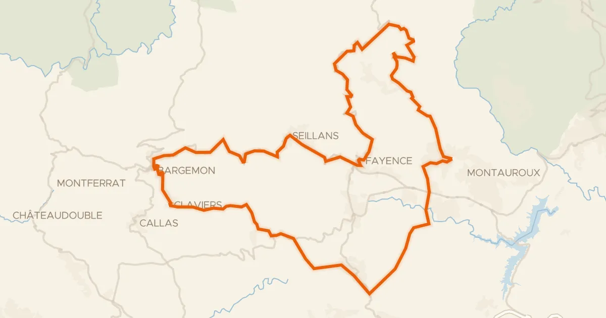
Les villages perchés de l'Est Varois
81 km↑ 1,833 m8 km away
Col d'Avaye
Road bike100% paved
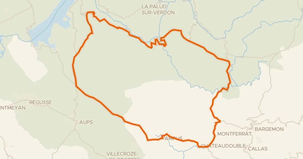
Les gorges du Verdon
99 km↑ 2,272 m17 km away
Col d'Illoire

Road bike99% paved
Between Le Muy and Roquebrune-sur-Argens
69 km↑ 743 m18 km away
Road bike100% paved
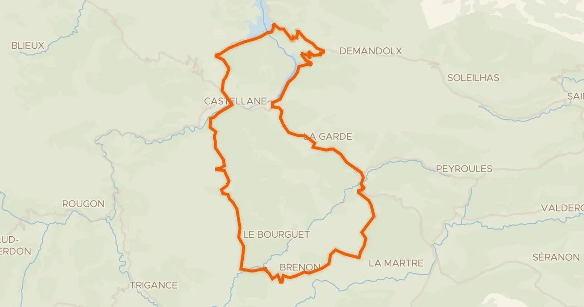
Belvédères du Verdon
58 km↑ 1,638 m23 km away
Col de Cheiron · Col de Luens

Road bike95% paved
Hills between Flayosc and Vidauban
79 km↑ 952 m23 km away

Gravel35% paved
Waterside between L'Argens and L'Aille
66 km↑ 1,261 m25 km away