Back to the librarykm 17 · May 2024 · © teddy73 / Mapillary, CC BY-SA km 36 · Sep 2026 · © dapiang / Mapillary, CC BY-SA km 52 · Sep 2026 · © dapiang / Mapillary, CC BY-SA km 7–8km 21–27km 36–38km 41–43km 52–54
Road bikeMade by RouteCasterRound trip
Castles between Rothenfels and Laubenbergerstein
Distance
76 km
Ascent
1,036 m
Highest point
969 m
100% paved
Start from your location
Ride there from home: we find the shortest way to the loop and start the loop from there.
The ride
Roll out from Parkeerplaats Rohrbachtobel im Wirlinger Forst and the climbing begins. Past castle Burgruine Laubenbergerstein, then castle Burgruine Rothenfels, before the Eistobel nature reserve and the Hengelesweiher nature reserve. On through Breitenmoos nature reserve and the Schönleitenmoos im Wierlinger Forst nature reserve, then back to where you started. 75.7 km, all of it paved.
Along the way
Climbs
Climb 1Hill
0.5 km at 7.7% · max 21%
StixnerjochCat. 3
5.4 km at 4.5% · max 17%
Climb 3Hill
1.6 km at 4.3% · max 11.1%
Climb 4Hill
1.8 km at 4.1% · max 10.6%
Climb 5Hill
1.5 km at 3.7% · max 10.4%
Routes nearby
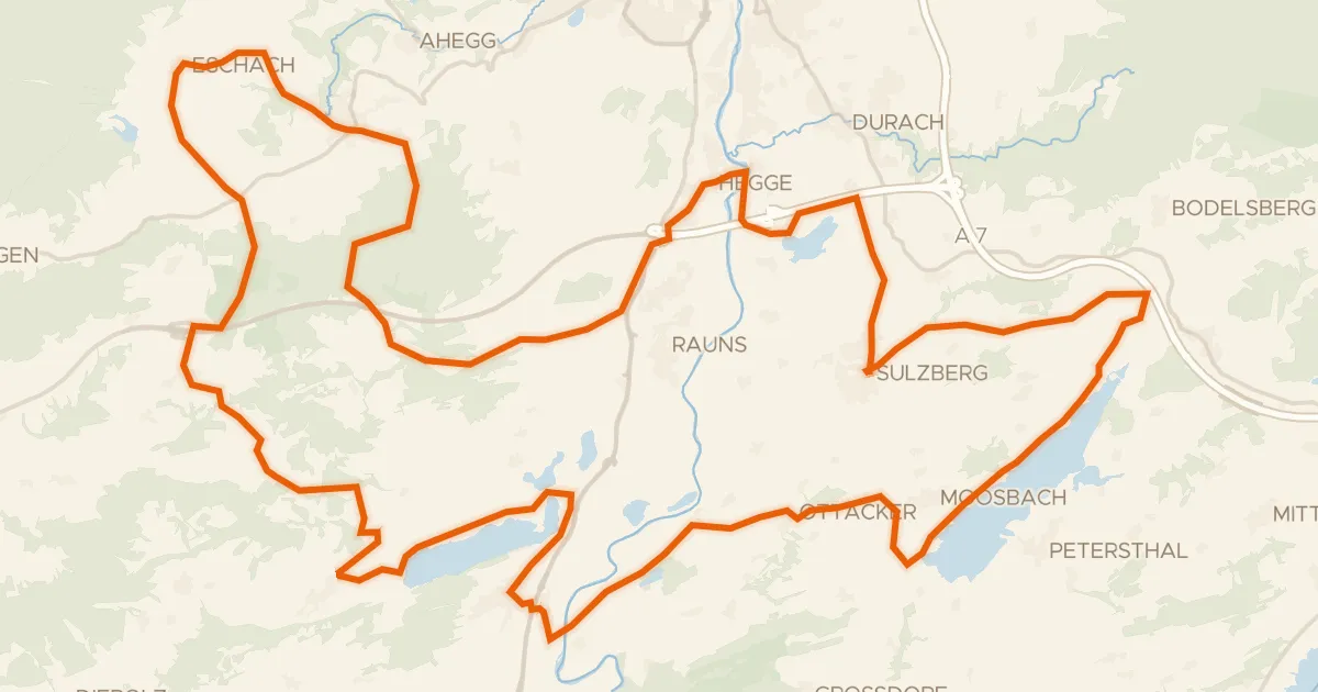
Touring75% paved
23 -Seelina-Radrundweg
68 km↑ 1,150 m4 km away
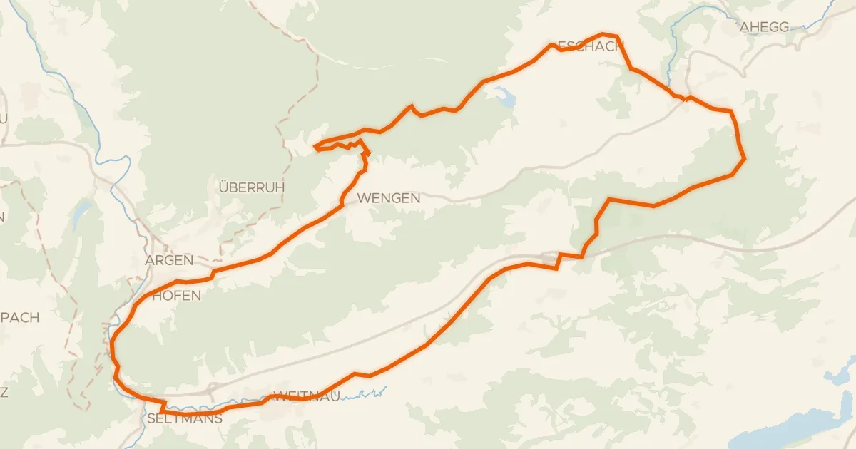
Gravel56% paved
6 - Sonneck-Runde
37 km↑ 637 m6 km away
Wasserscheide Eschach/Iller
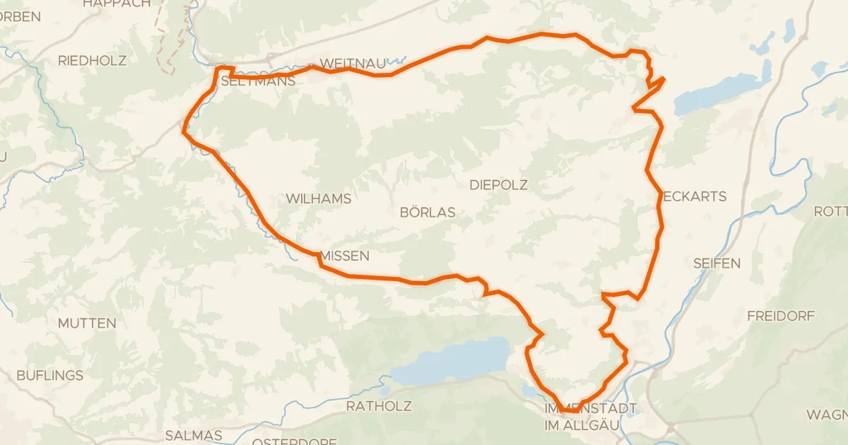
Road bike100% paved
7 - Alpkönigs-Runde
44 km↑ 783 m9 km away
Stixnerjoch
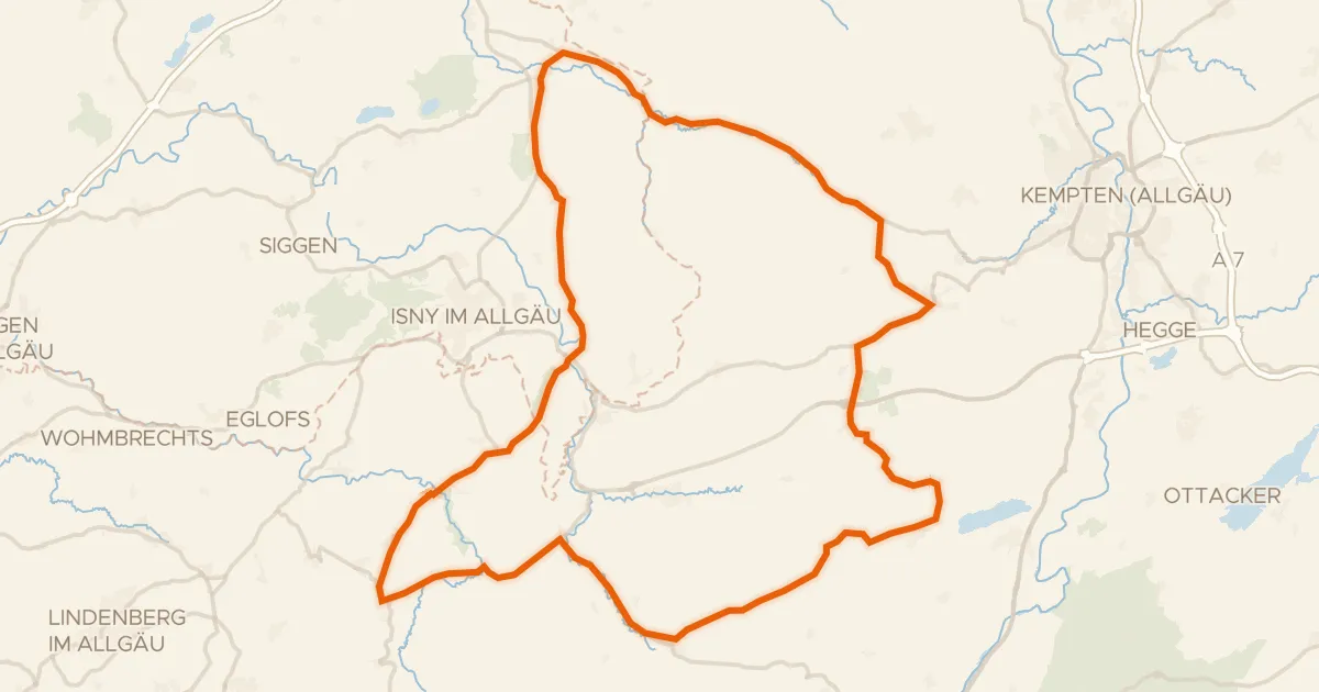
Road bike100% paved
Hills between Eistobel and Hengelesweiher
73 km↑ 1,097 m10 km away
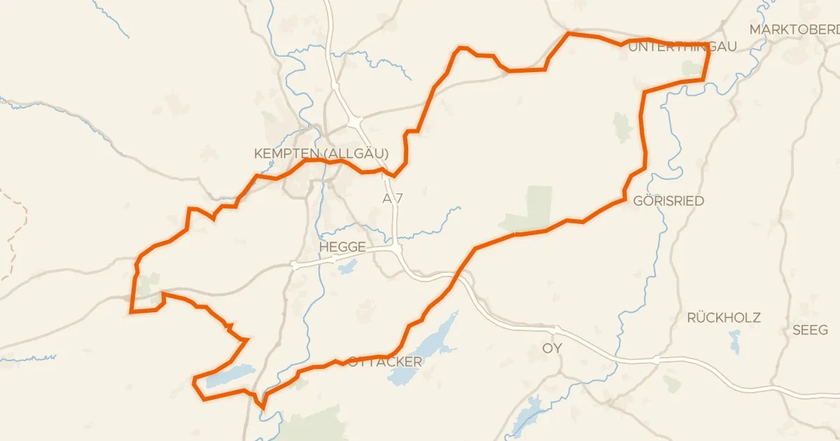
Road bike97% paved
Hills between Unterthingau and Buchenberg
88 km↑ 1,106 m11 km away
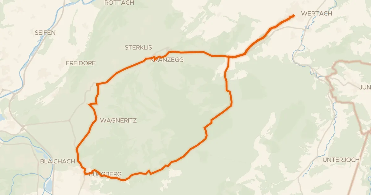
Touring94% paved
19 - Rund um den Grünten
31 km↑ 659 m13 km away