Back to the librarykm 10 · Jun 2026 · © bct / Mapillary, CC BY-SA km 33 · Jul 2023 · © slowrb / Mapillary, CC BY-SA km 48 · Mar 2026 · © soulcover / Mapillary, CC BY-SA km 87 · Jun 2025 · © soulcover / Mapillary, CC BY-SA km 42–45km 52–55km 58–59km 67–67km 90–90
Road bikeMade by RouteCasterRound trip
Castles between Pleidelsheim and Großsachsenheim
Distance
92 km
Ascent
1,007 m
Highest point
399 m
97% paved
Start from your location
Ride there from home: we find the shortest way to the loop and start the loop from there.
The ride
Roll out of Ottmarsheim and the ride unfolds through three nature reserves in a row: Unteres Tal/Haldenrain, Oberes Tal and Altneckar. Then come the castles — Wasserschloss Sachsenheim, Burg Owenbuhel and Schloss Stocksberg — before the route loops back past Altneckar Horkheim and Horkheimer Burg. It's 92.4 km with 1007 m of climbing, mostly on paved surface. Back to Ottmarsheim, with plenty of stories to tell.
Along the way
Climbs
Climb 1Cat. 4
3.5 km at 4.1% · max 10.8%
Climb 2Cat. 4
2.5 km at 3.4% · max 16.8%
Climb 3Hill
1.5 km at 3.1% · max 11.2%
Climb 4Hill
0.7 km at 5.3% · max 8.9%
Climb 5Hill
0.7 km at 4.5% · max 6.1%
Routes nearby
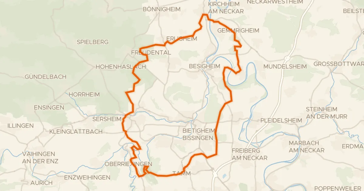
Gravel51% paved
Hills between Leudelsbachtal and Hessigheimer Felsengärten
58 km↑ 788 m7 km away
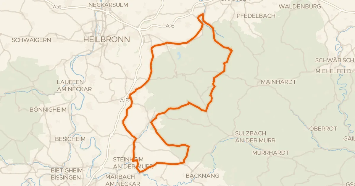
Road bike99% paved
Castles through the Schwäbisch-Fränkischer Wald
91 km↑ 1,264 m14 km away
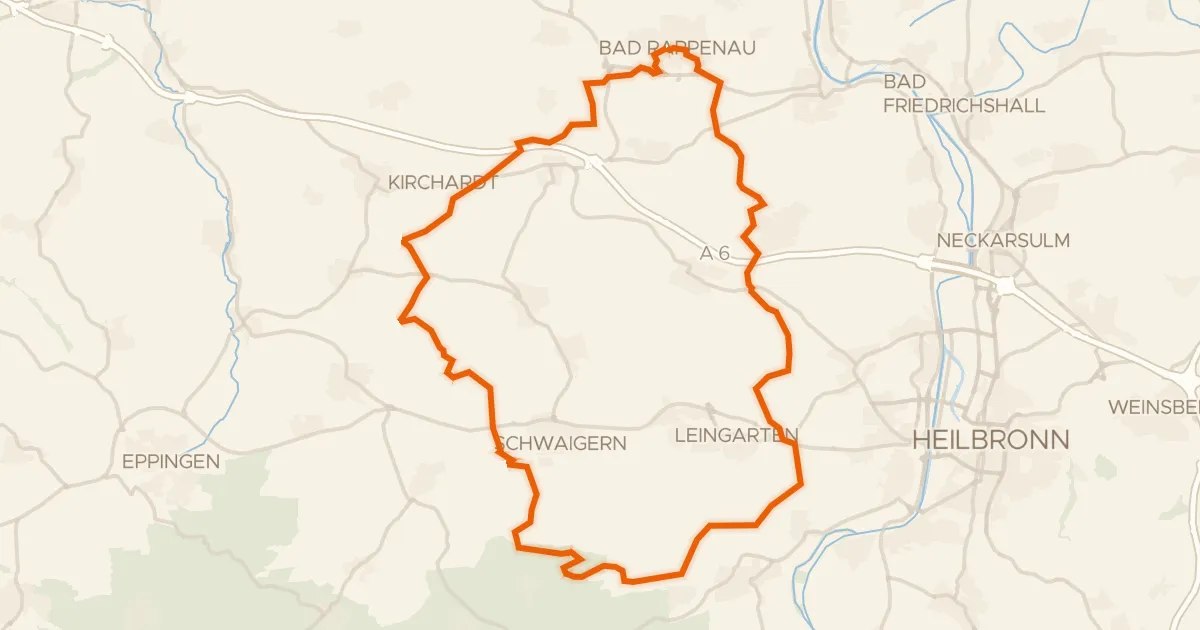
Gravel52% paved
Gravel between the Hipfelhofer Wald and Bonfelder Wald
60 km↑ 618 m20 km away
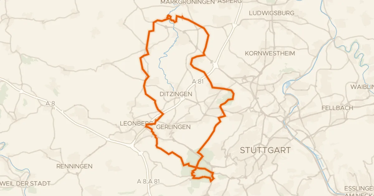
Gravel46% paved
Castles between Schöckingen and Hemmingen
61 km↑ 816 m23 km away
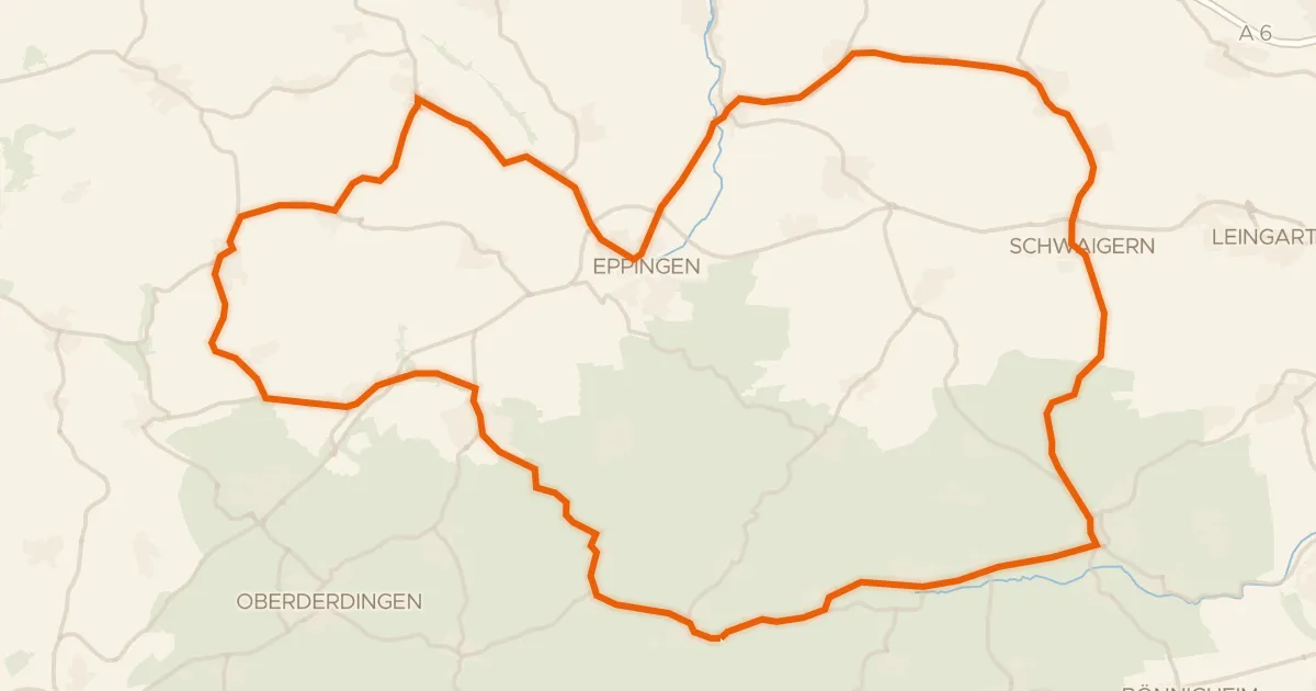
Road bike99% paved
Castles between Massenbachhausen and Zaberfeld
73 km↑ 744 m24 km away
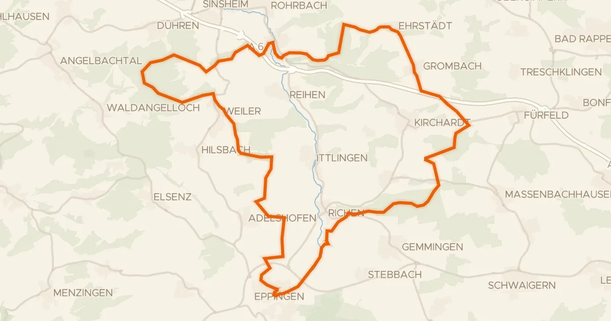
Gravel50% paved
Rolling past the Elsenz
60 km↑ 646 m28 km away