Back to the librarykm 14 · Jun 2026 · © stefanro74 / Mapillary, CC BY-SA km 26 · Oct 2023 · © natebus / Mapillary, CC BY-SA km 44 · Aug 2019 · © chiedeguchi / Mapillary, CC BY-SA km 59 · Nov 2018 · © rockd / Mapillary, CC BY-SA km 11–12km 24–25km 26–28km 34–35km 41–41km 43–48km 59–62
Road bikeMade by RouteCasterRound trip
Castles between Neubeuern and Hohenaschau
Distance
72 km
Ascent
1,280 m
Highest point
1,000 m
96% paved
Start from your location
Ride there from home: we find the shortest way to the loop and start the loop from there.
The ride
Roll out of Oberaudorf and let the route unfold: first past the castle ruin of Katzenstein, then along the Inn, before Schloss Neubeuern appears. On to the Bärnsee lake, Schloss Hohenaschau and through the Geigelstein nature reserve, with the Prien river running alongside. A 72.4 km loop with 1280 m of climbing, mostly on paved surface, brings you back to where you started.
Along the way
Climbs
Climb 1Hill
1 km at 6.9% · max 18.3%
Climb 2Hill
1.2 km at 4.2% · max 8.2%
Climb 3Hill
2.1 km at 3.2% · max 9.5%
Climb 4Hill
0.9 km at 3.6% · max 10.1%
Climb 5Hill
0.7 km at 5.4% · max 8.2%
Climb 6Cat. 3
4.7 km at 5% · max 23.1%
Climb 7Cat. 3
3 km at 9.1% · max 23.9%
Routes nearby
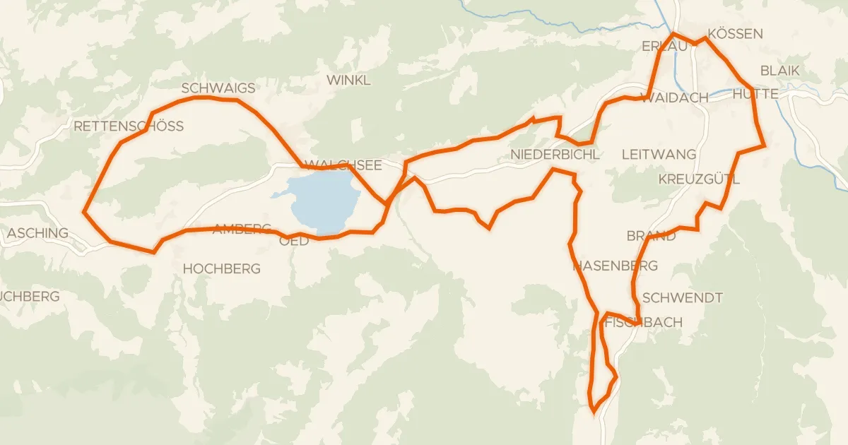
Touring91% paved
Käse Radrunde
40 km↑ 630 m13 km away
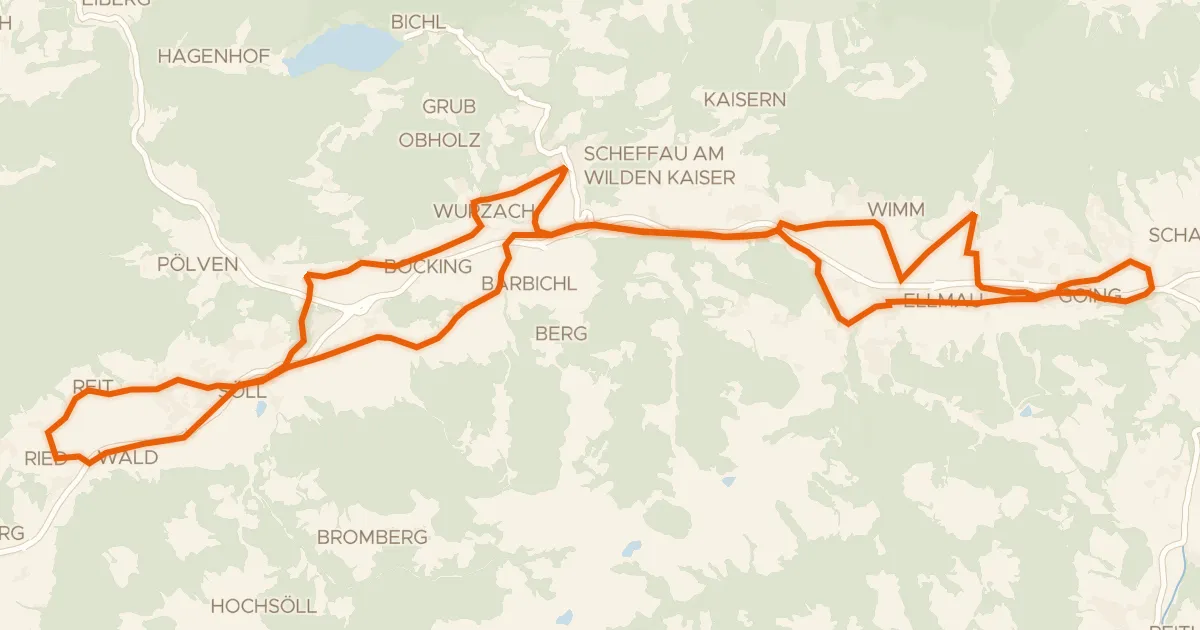
Touring82% paved
Sölllandl Radrunde
38 km↑ 688 m16 km away

Gravel55% paved
Climbs between Brixentaler Ache and Windauer Ache
60 km↑ 1,967 m19 km away
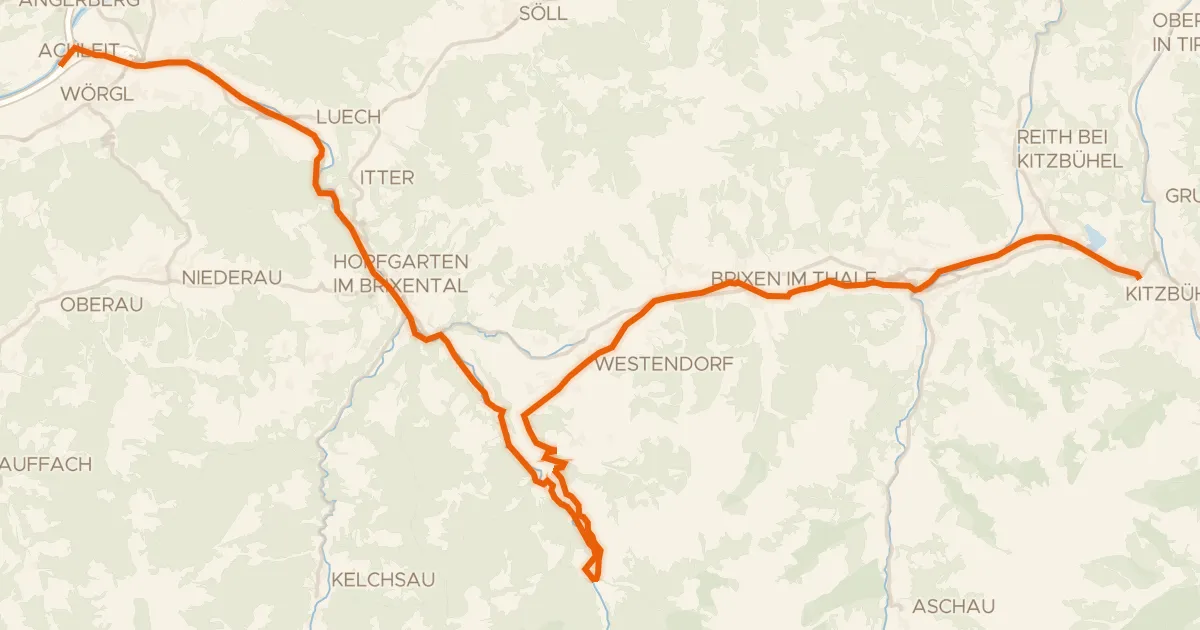
Touring82% paved
Brixental
44 km↑ 851 m23 km away
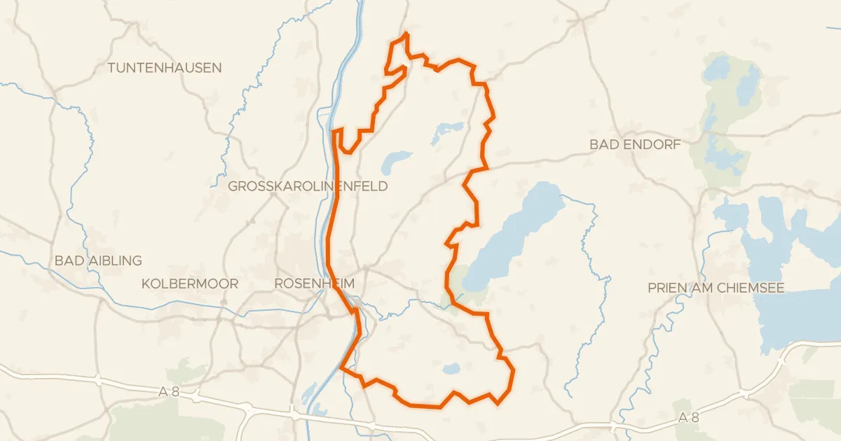
Gravel32% paved
Waterside between Inn and Mangfall
59 km↑ 599 m26 km away
Gravel32% paved
Rolling around the Schloßsee
62 km↑ 847 m27 km away