Back to the librarykm 18 · Mar 2024 · © teddy73 / Mapillary, CC BY-SA km 32 · May 2026 · © teddy73 / Mapillary, CC BY-SA km 42 · Jul 2026 · © teddy73 / Mapillary, CC BY-SA km 75 · Sep 2025 · © teddy73 / Mapillary, CC BY-SA km 26–32km 35–36km 39–40km 43–46km 52–53
Road bikeMade by RouteCasterRound trip
Castles between Nanstein and Gustavsburg
Distance
80 km
Ascent
968 m
Highest point
459 m
100% paved
Start from your location
Ride there from home: we find the shortest way to the loop and start the loop from there.
The ride
Roll out of Landstuhl and let the ride unfold past the Naßwiese am Bahndamm, then on through the meadows north of Vogelbach. Further along come the Wiesen westlich der Vogelbacher Mühle and the Schwarzbach, each a nature reserve, before Gustavsburg and Burg Nanstein, two castles, break up the kilometres. It's 80.2 km with 968 m of climbing, and the whole route is paved. Back to Landstuhl to finish.
Along the way
Climbs
Climb 1Cat. 3
6.1 km at 3.2% · max 10.6%
Climb 2Hill
1.6 km at 3.1% · max 8.3%
Climb 3Hill
1.2 km at 4.1% · max 8.3%
Climb 4Cat. 4
3 km at 4.2% · max 15.8%
Climb 5Cat. 4
1.6 km at 5.9% · max 8.2%
Routes nearby
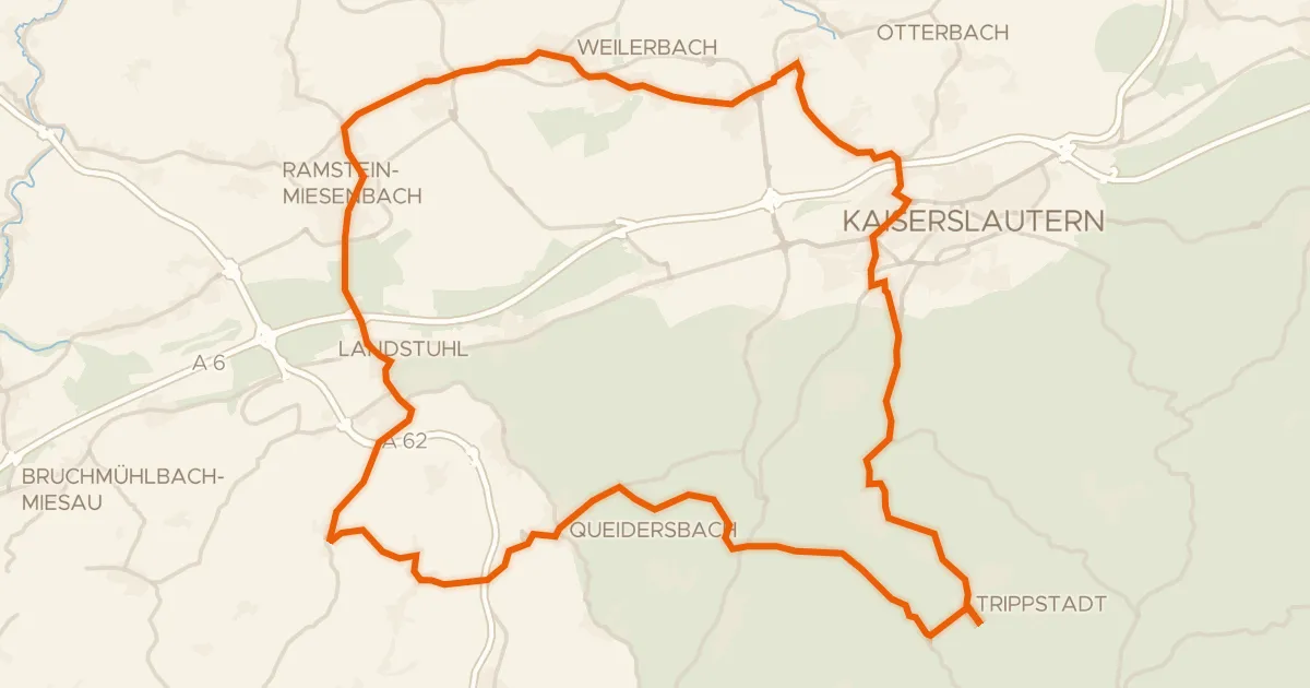
Road bike99% paved
Castles between Karlstalschlucht and Nanstein
69 km↑ 1,025 m7 km away
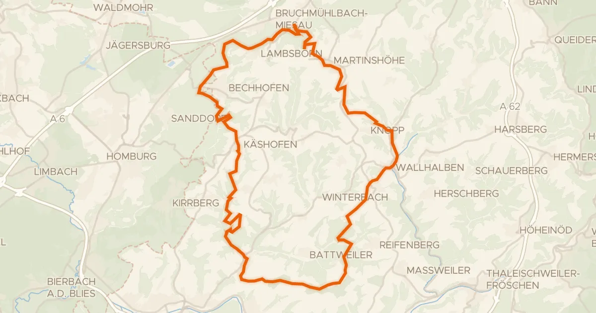
Gravel30% paved
Views along the Wallhalben
57 km↑ 1,033 m13 km away
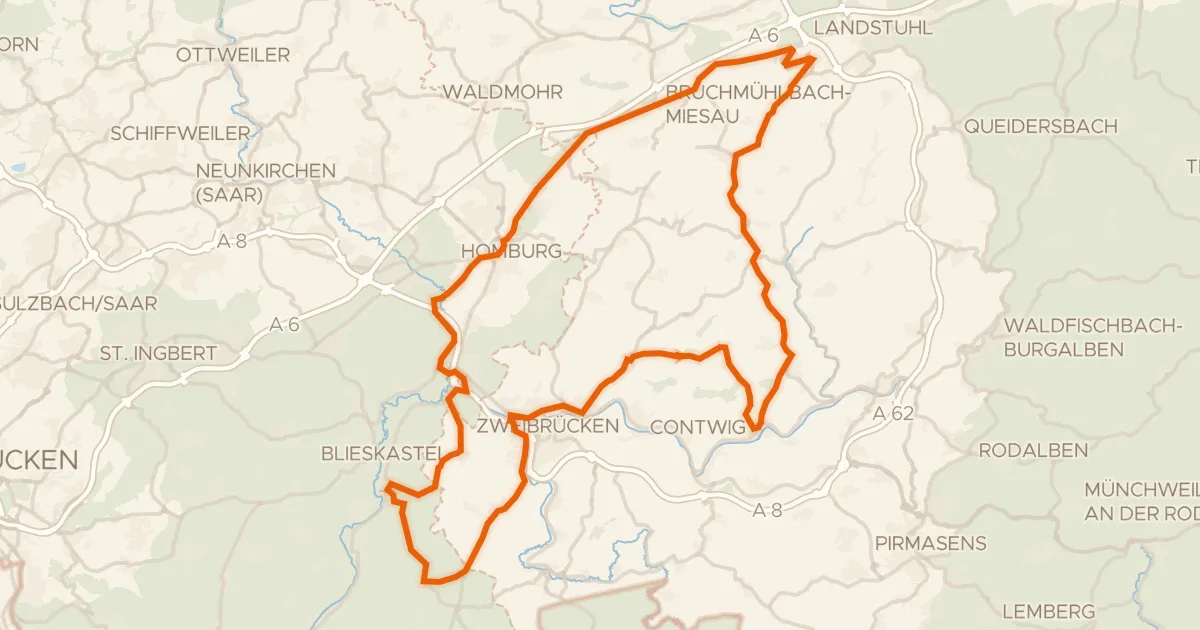
Road bike99% paved
Hills between Schmitshausen and Rieschweiler
96 km↑ 977 m18 km away
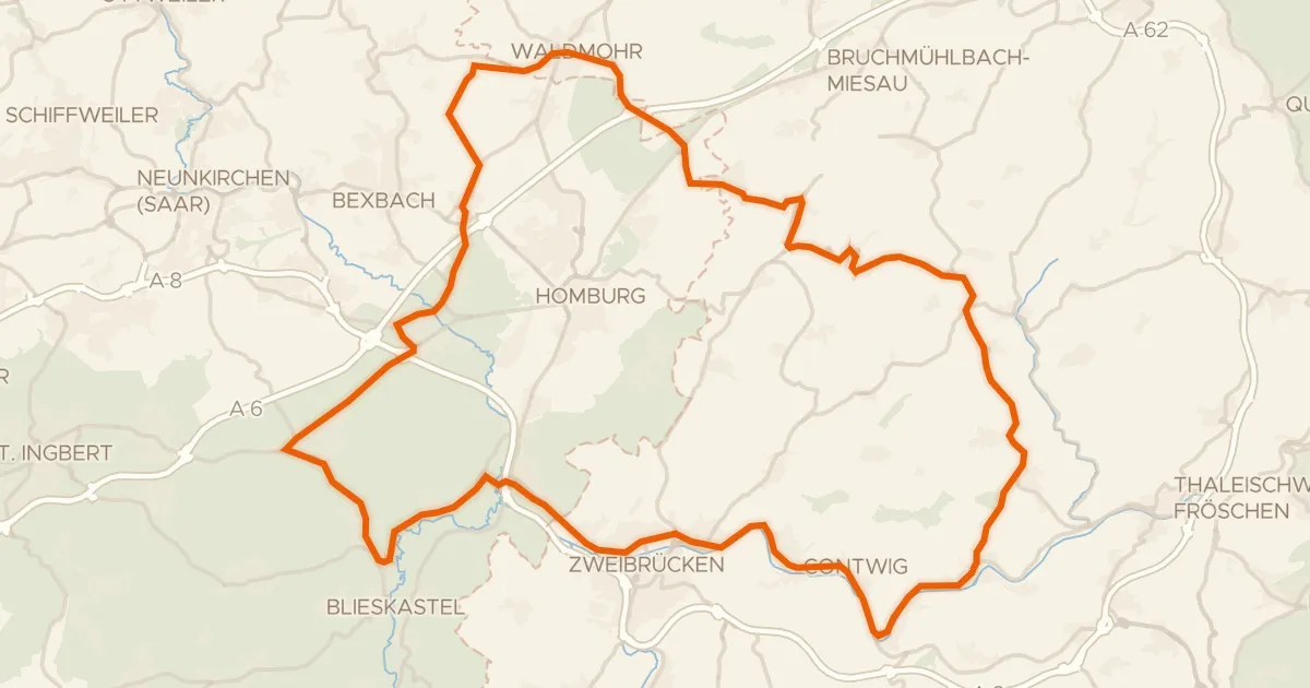
Road bike100% paved
Viewpoints between Krähenberg and Rieschweiler
78 km↑ 769 m19 km away
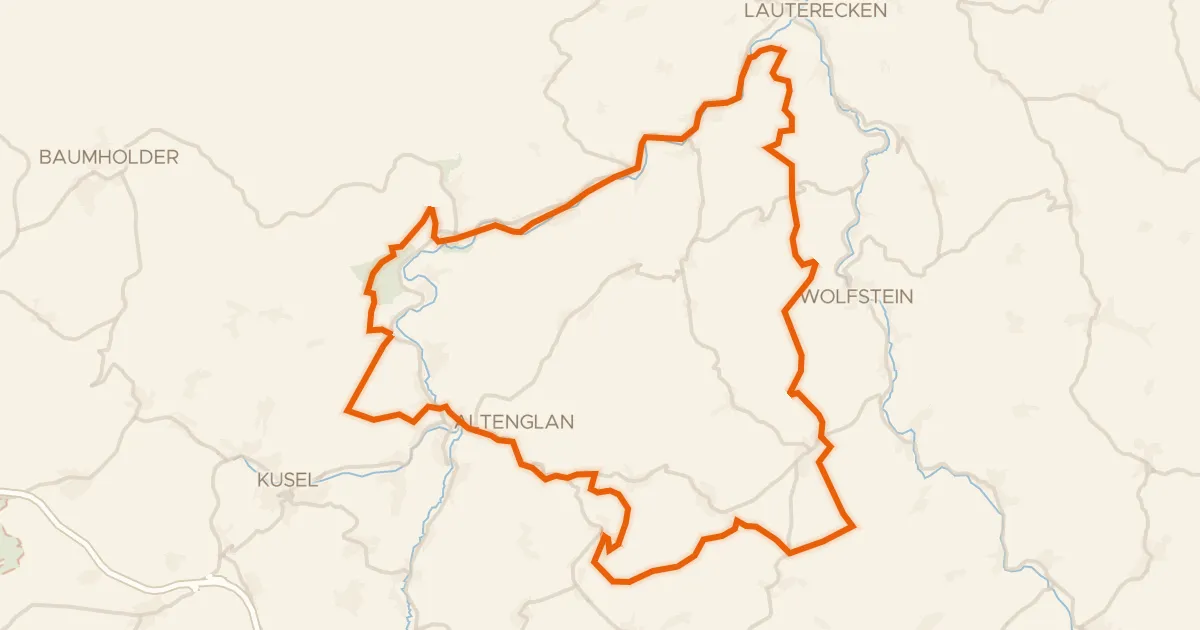
Gravel40% paved
Waterside between Glan and Kuselbach
62 km↑ 1,344 m19 km away
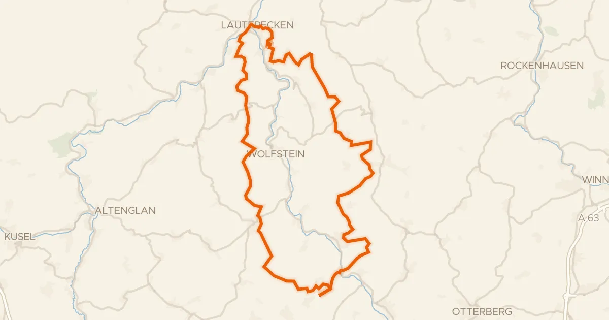
Gravel30% paved
Waterside route between Glan and Lauter
60 km↑ 1,528 m19 km away