Back to the library
Gravel
Bindeballestien
Distance
35 km
Ascent
145 m
Highest point
82 m
43% paved
The ride
A 35.0 km loop with 145 m of climbing, split between 43% paved and 57% unpaved. Dirt track makes up 29%, country road 23% and cycle path 21%. Traffic exposure stays at 0% on busy roads without a cycle path, with 64% on protected cycleways and bike-network roads. Roll out and enjoy the mix.
Routes nearby
Road bike99% paved
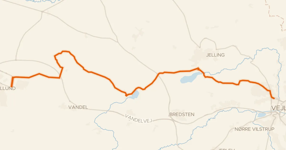
Engelsholmruten
36 km↑ 290 m12 km away
Gravel62% paved
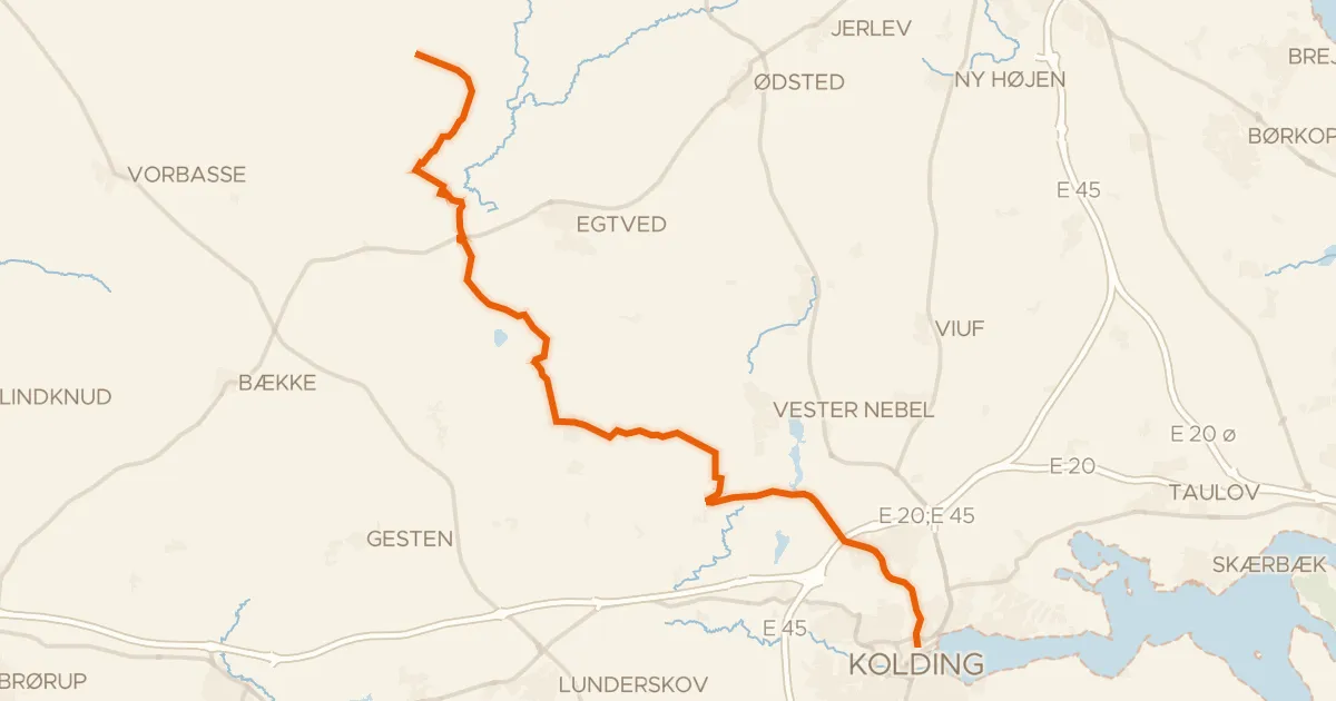
Troldhedebanestien
35 km↑ 198 m18 km away
Road bike100% paved
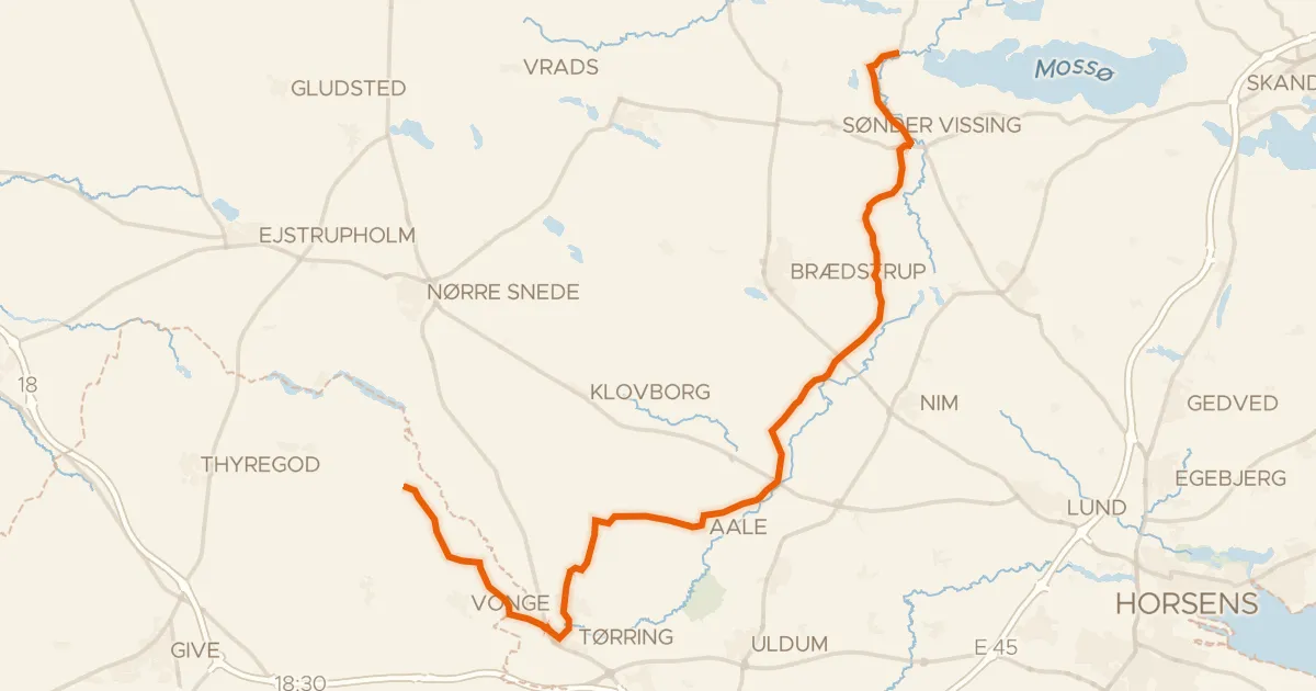
Gudenådalen
43 km↑ 323 m26 km away
Touring71% paved
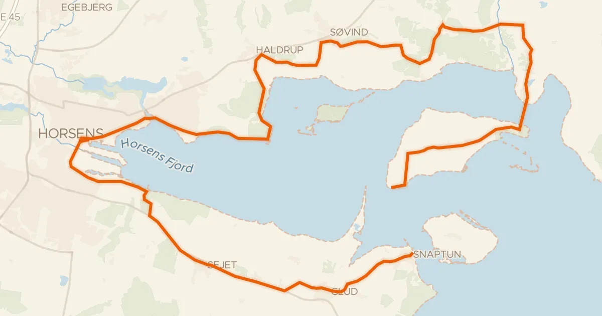
Horsens Fjord
53 km↑ 271 m33 km away
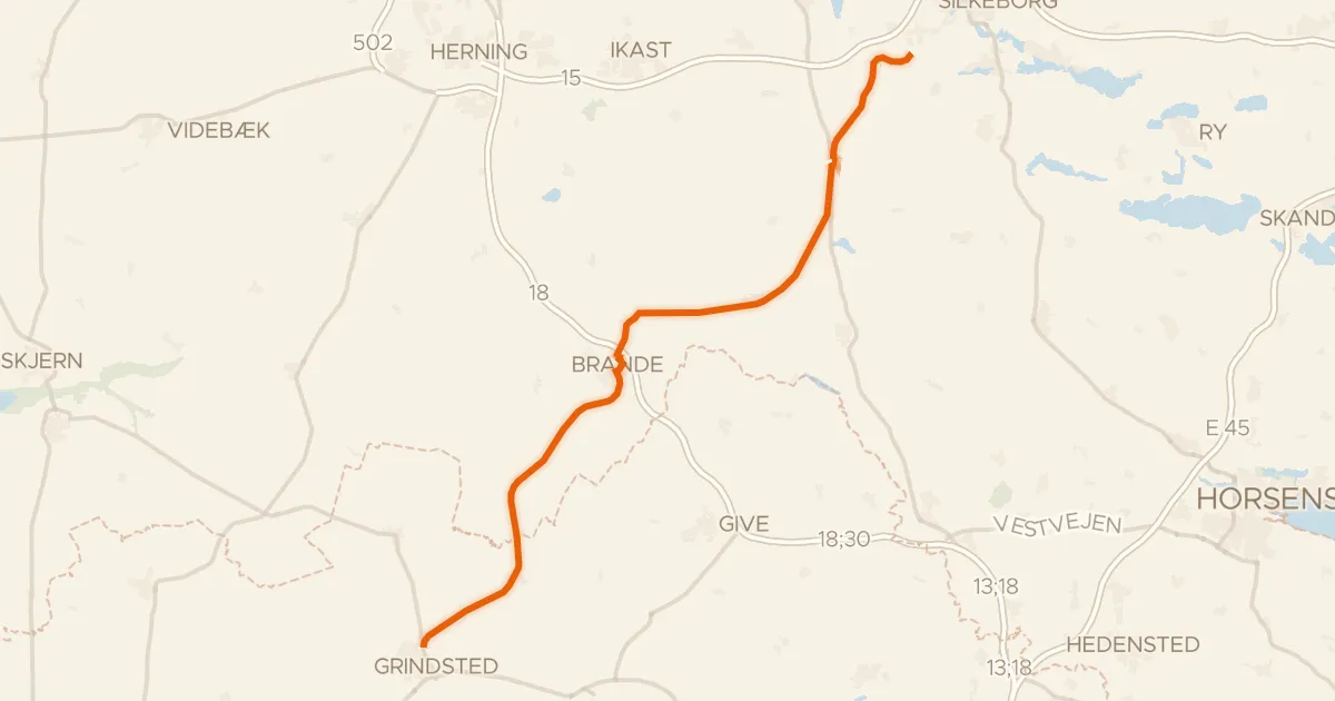
Gravel22% paved
Den Skæve Bane
63 km↑ 163 m33 km away
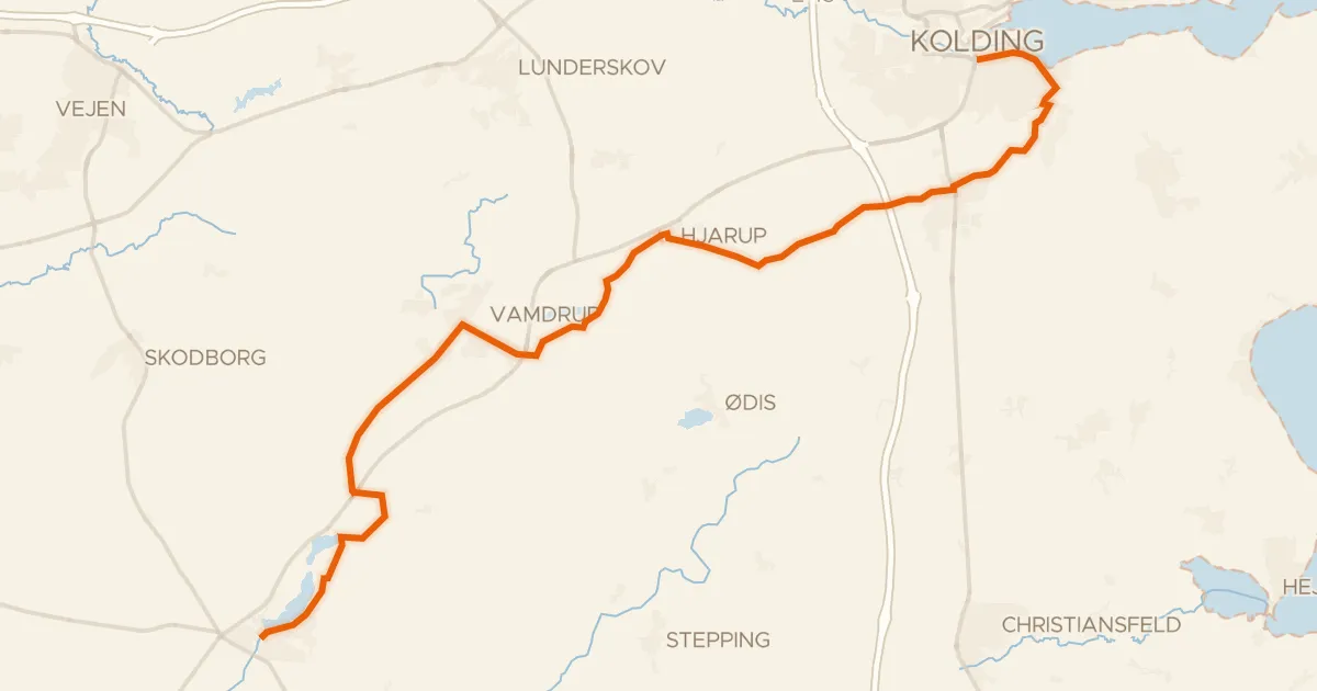
Touring84% paved
Kongeådalen
34 km↑ 173 m34 km away