Back to the librarykm 14 · Apr 2018 · © bejotel / Mapillary, CC BY-SA km 17 · Sep 2025 · © poxonline / Mapillary, CC BY-SA km 41 · May 2026 · © canislupus / Mapillary, CC BY-SA km 57 · Sep 2024 · © poxonline / Mapillary, CC BY-SA km 0–1km 42–43km 62–63
Road bikeMade by RouteCasterRound trip
Along the Wyhra to the Eschefelder Teiche
Distance
63 km
Ascent
460 m
Highest point
272 m
100% paved
Start from your location
Ride there from home: we find the shortest way to the loop and start the loop from there.
The ride
Roll out of Kohren-Sahlis and the route unfolds past Halbes Schloss, then on through the Hinteres Stöckigt nature reserve. Next come the Eschefelder Teiche reserve and the Wyhra river, before the Streitwald reserve turns you back toward home. It's 63.2 km, all paved, with 460 m of climbing along the way.
Along the way
Climbs
Climb 1Hill
0.5 km at 5.4% · max 10.7%
Climb 2Hill
0.8 km at 3.4% · max 4.8%
Climb 3Hill
0.9 km at 3.7% · max 11.4%
Routes nearby
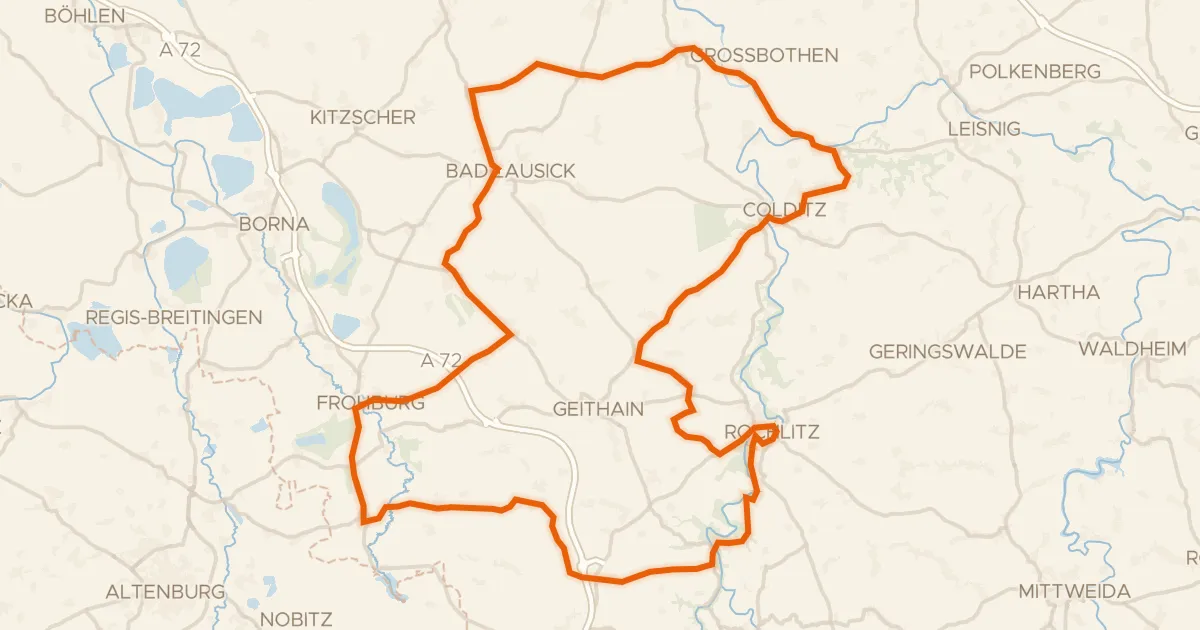
Road bike99% paved
Hills between Gnandstein and Kohren-Sahlis
99 km↑ 947 m10 km away
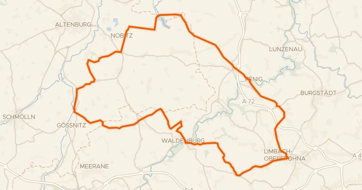
Road bike99% paved
Hills between the Wyhra and the Zwickauer Mulde
77 km↑ 721 m11 km away
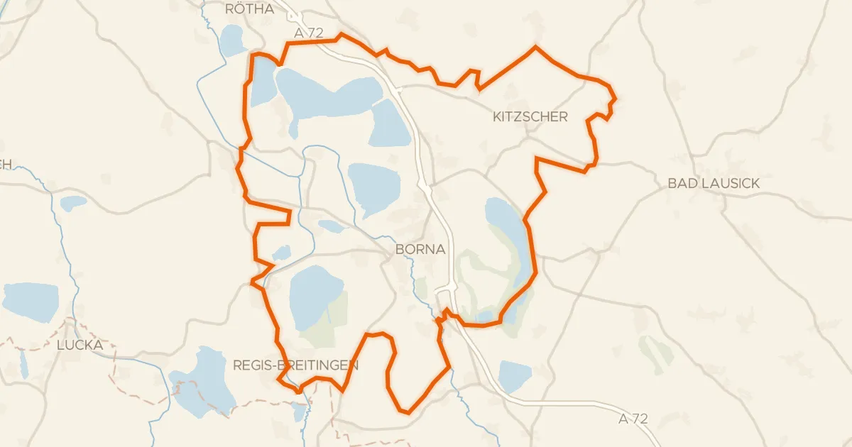
Gravel34% paved
Castles between Thierbach and Zedtlitz
64 km↑ 275 m14 km away
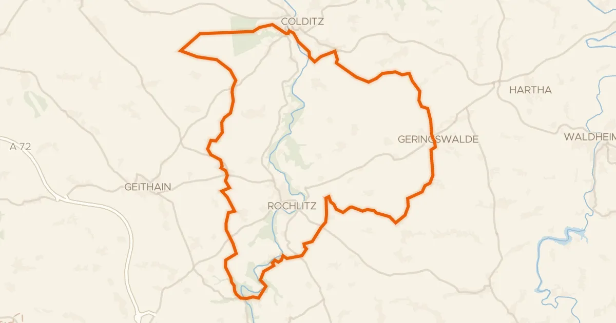
Gravel62% paved
Hills between Wechselburg and Königsfeld
61 km↑ 940 m15 km away
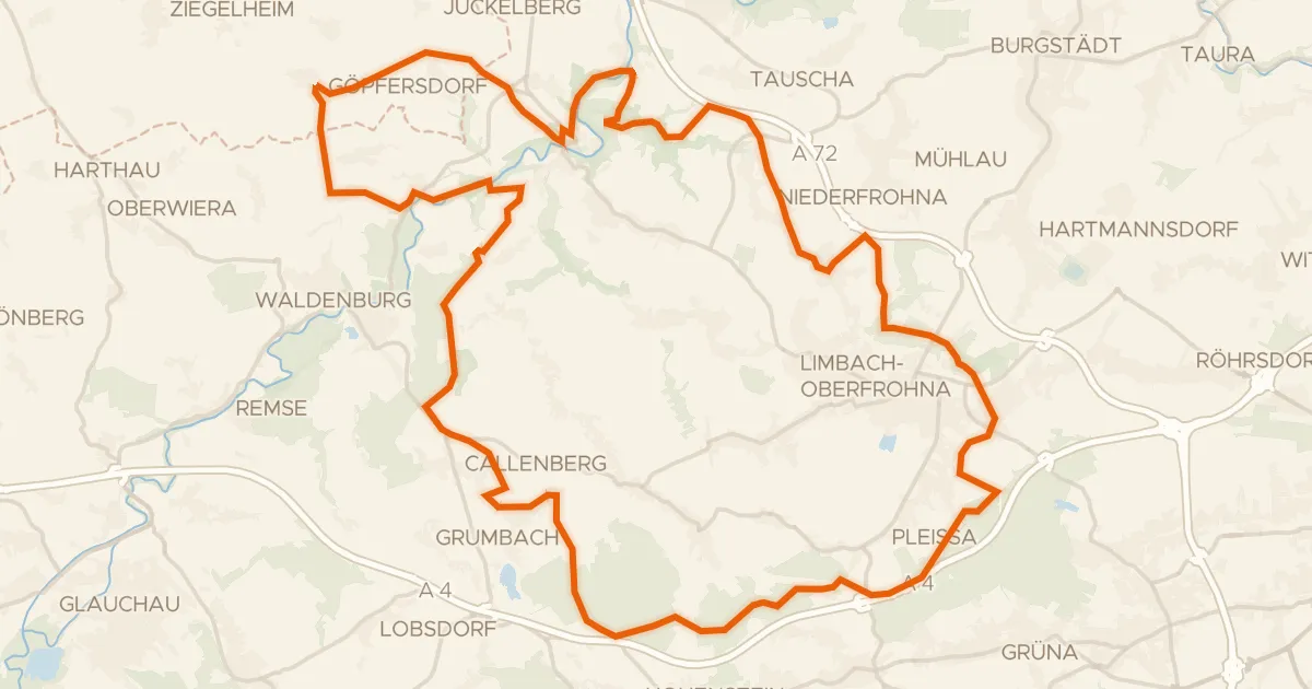
Gravel39% paved
Castles along the Zwickauer Mulde
62 km↑ 742 m18 km away
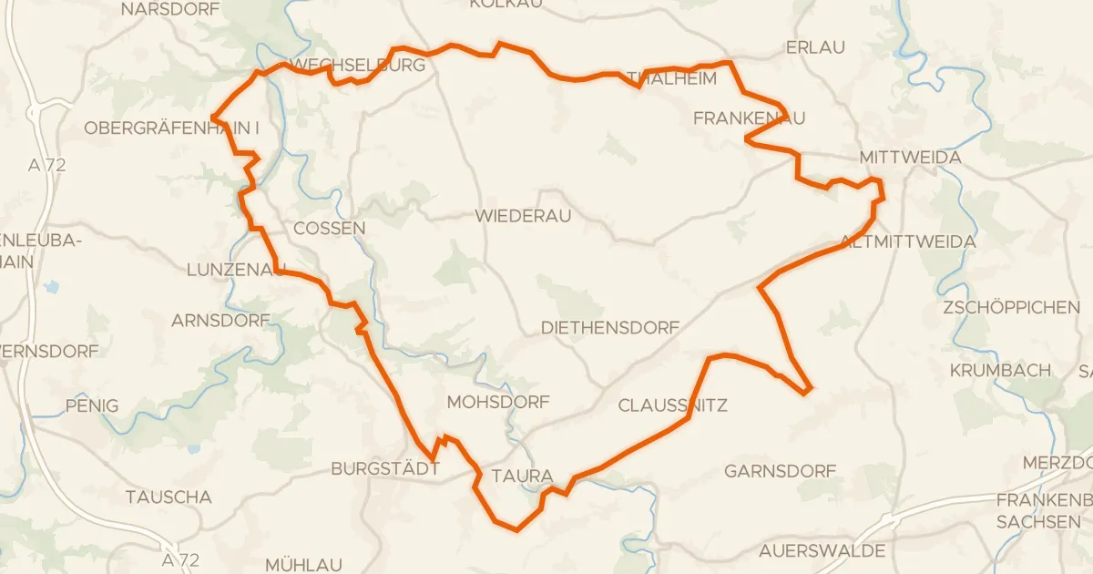
Gravel52% paved
Gravel along the Zwickauer Mulde
60 km↑ 690 m19 km away