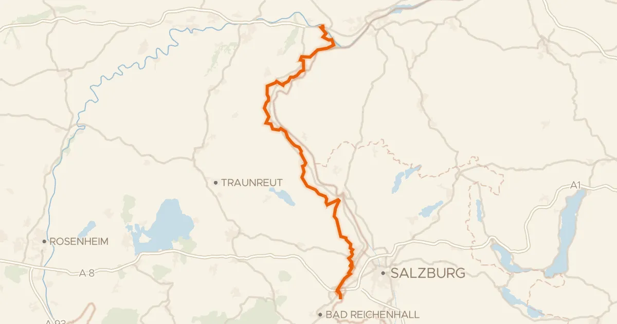
Mattigtalweg
The ride
This ride starts in Perwang am Grabensee and rolls out through the villages of Weikertsham and Kerschham before passing Schloss Forstern, a manor on the way. Of the 44.7 km, most is paved, with a small share of unpaved track mixed in. Country roads carry most of the route, and a quarter of the riding sits on protected cycleways or bike-network roads. It finishes in Reikersdorf, not where it began.
Climbs
Where you ride
Mattigtalweg runs 45 km from Perwang am Grabensee to Reikersdorf in Upper Austria, Austria. Along the way you ride through Weikertsham, Kerschham, Schweiber, Jeging, Abern, Hochhalting, Pfaffstätt, Oberlindach, Mattighofen, and Stockleiten.
Sights along the route
- Schloss Forstern· manor house · km 35
Questions about Mattigtalweg
Where does Mattigtalweg start?
In Perwang am Grabensee. It is a one-way route that ends in Reikersdorf.
How hard is Mattigtalweg?
45 km with 269 m of climbing, about 6 m per km: rolling. The highest point is at 536 m.
Which climbs are on Mattigtalweg?
There is one climb. The longest is 0.6 km at an average of 7.1%.
Is Mattigtalweg paved?
94% of the route is paved and 6% unpaved.
Can I download Mattigtalweg as a GPX file?
Yes. Save the route for free, then download the GPX or send it straight to your Wahoo or Hammerhead.
Routes nearby

Waterside ride through the Kobernaußerwald

Castles between Mattig and Schwemmbach
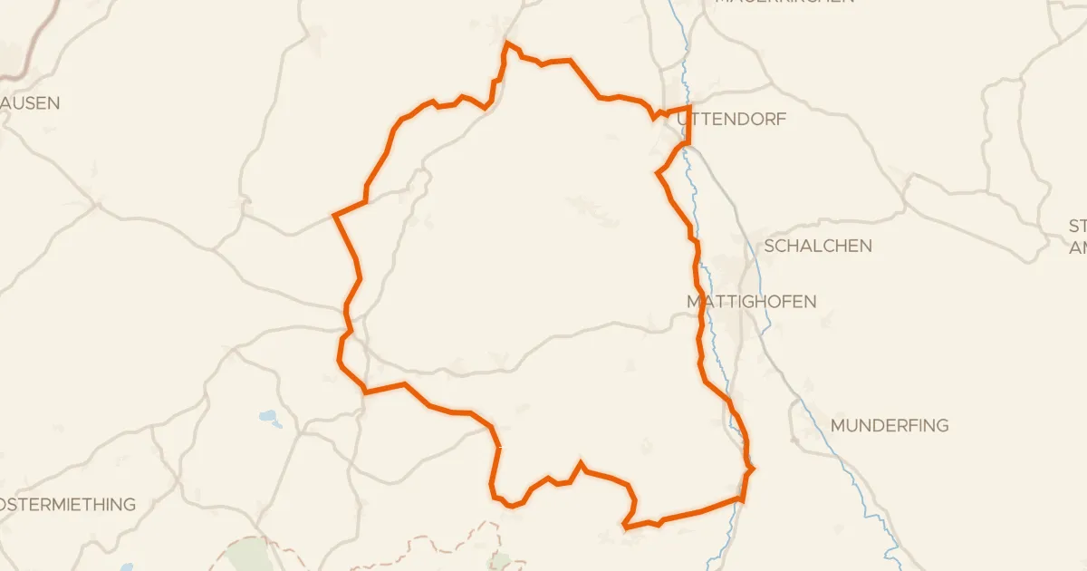
R201, Genussradtour Variante Mattighofen
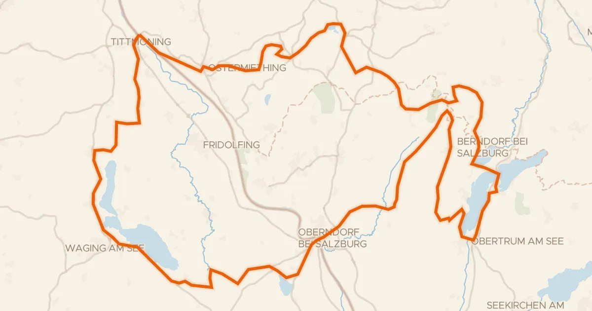
Bajuwarentour

Hills along the Fischach