Back to the librarykm 0–2km 7–8km 9–9km 11–13km 17–18km 22–25
GravelRound trip
4. Les Hauts de Francheville
Distance
30 km
Ascent
728 m
Highest point
534 m
43% paved
Start from your location
Ride there from home: we find the shortest way to the loop and start the loop from there.
The ride
Here's a 29.8 km ride with 728 m of climbing, and the surface splits into 43% paved and 56% unpaved. Most of the route runs on dirt track at 55%, with 14% tertiary road and 12% country road filling out the mix. Traffic exposure stays low: 71% of the ride is on protected cycleways or bike-network roads, and 0% sits on busy roads above 50 km/h without a cycle path. Enjoy the varied surfaces and the steady climb.
Climbs
Climb 1Cat. 4
1.4 km at 9.1% · max 17%
Climb 2Cat. 4
1.3 km at 8.9% · max 13.5%
Climb 3Hill
0.8 km at 3.9% · max 7.6%
Climb 4Cat. 4
1.8 km at 4.8% · max 12.6%
Climb 5Cat. 4
1.4 km at 8% · max 11.7%
Climb 6Cat. 4
2.4 km at 3.4% · max 10%
Routes nearby
Road bike100% paved
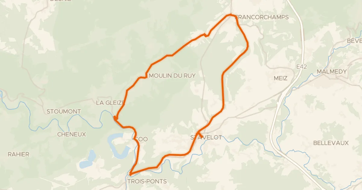
1. Le Triangle Stavelot-Francorchamps-Coo
28 km↑ 441 m3 km away
Road bike98% paved
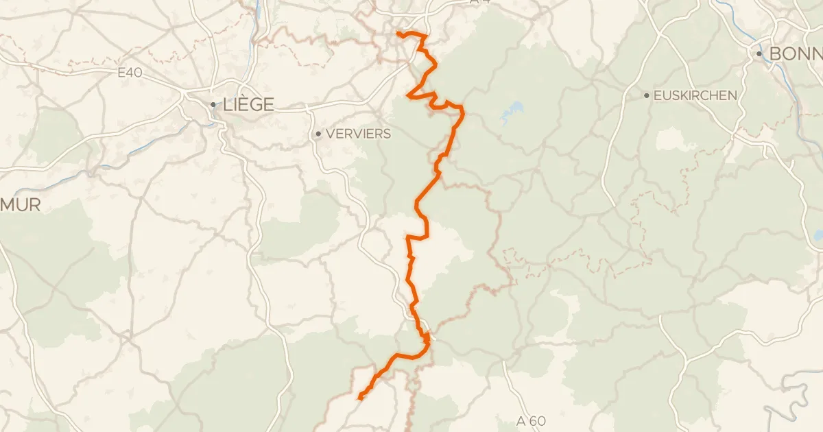
Vennbahn (Radweg)
125 km↑ 1,219 m15 km away
Road bike98% paved
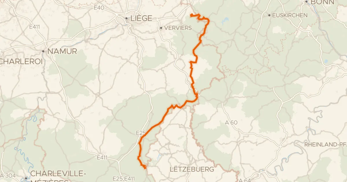
RAVeL W9 La Véloroute grandeur Nature
157 km↑ 1,354 m16 km away
Touring83% paved
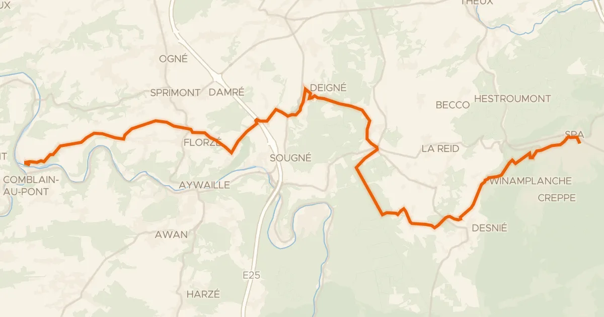
Liaison RAVeL Ourthe (Rivage)-Spa
31 km↑ 627 m18 km away
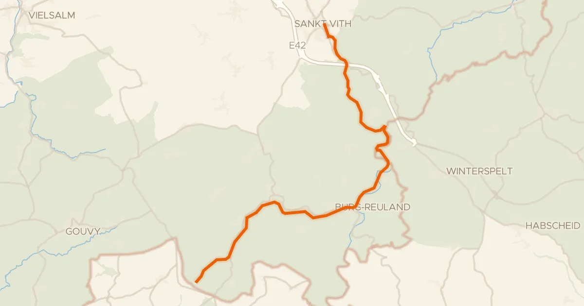
Road bike100% paved
RAVeL Linie 47
25 km↑ 354 m23 km away
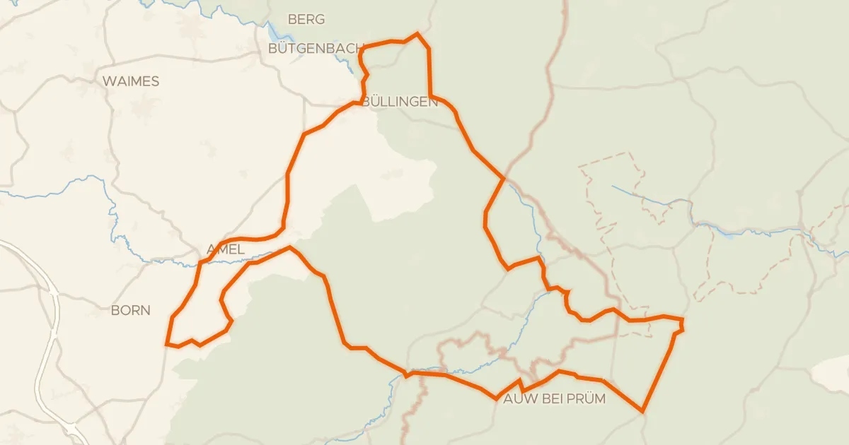
Road bike100% paved
Rondje Rohrvenn en Kyllquellgebiet
74 km↑ 1,109 m26 km away